Nottingham — West Bridgford
Notwes two

Slow Way not verified yet. Verify Notwes here.
Slow Way not verified yet. Verify Notwes here.
By Hugh Hudson on 22 Nov 2023
Description
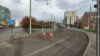
There is nothing wrong with NOTWES one, but it is a little indirect and it does involve two sets of steps, so I think there is a need for this alternative. It is the route I would use if I had to walk as quickly as possible, following pavements and surfaced paths throughout, and entirely safe, step-free and accessible, if a little noisier. All main road junctions have zebra or pelican crossings
There is nothing wrong with NOTWES one, but it is a little indirect and it does involve two sets of steps, so I think there is a need for this alternative. It is the route I would use if I had to walk as quickly as possible, following pavements and surfaced paths throughout, and entirely safe, step-free and accessible, if a little noisier. All main road junctions have zebra or pelican crossings
Status
This route has been reviewed by 2 people.
There are no issues flagged.
Photos for Notwes two

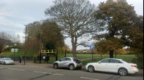
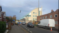
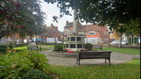


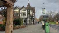


Photos of this route will appear when they are added to a review. You can review this route here.
Information
Route status - Live
Reviews - 2
Average rating -
Is this route good enough? - Yes (2)
There are currently no problems reported with this route.
Downloads - 0
Surveys
We are working to build-up a picture of what routes look like. To do that we are asking volunteers to survey routes so that we can communicate features, obstacles and challenges that may make a route desirable or not.
Slow Ways surveyors are asked to complete some basic online training, but they are not vetted. If you are dependent on the survey information being correct in order to complete a route, we recommend that you think critically about the information provided. You may also wish to wait until more than one survey has been completed.
Help people know more about this route by volunteering to submit a survey.
- Complete the survey training.
- Submit a survey for this route.
Geography information system (GIS) data
Total length
Maximum elevation
Minimum elevation
Start and end points
Nottingham
Grid Ref
SK5724439911
Lat / Lon
52.95355° / -1.14939°
Easting / Northing
457,244E / 339,911N
What3Words
shark.dogs.trips
West Bridgford
Grid Ref
SK5866837708
Lat / Lon
52.93360° / -1.12860°
Easting / Northing
458,668E / 337,708N
What3Words
shady.plenty.opens
| Nottingham | |
|---|---|
| Grid Ref | SK5724439911 |
| Lat / Lon | 52.95355° / -1.14939° |
| Easting / Northing | 457,244E / 339,911N |
| What3Words | shark.dogs.trips |
| West Bridgford | |
|---|---|
| Grid Ref | SK5866837708 |
| Lat / Lon | 52.93360° / -1.12860° |
| Easting / Northing | 458,668E / 337,708N |
| What3Words | shady.plenty.opens |
Sorry Land Cover data is not currently available for this route. Please check back later.
Other Routes for Nottingham—West Bridgford See all Slow Ways
Review this better route and help establish a trusted network of walking routes.
Suggest a better route if it better meets our methodology.