Description
This is a Slow Ways route connecting Nottingham and Carlton.
Know of a better route? Share it here.
This is a Slow Ways route connecting Nottingham and Carlton.
Know of a better route? Share it here.
Status
This route has been reviewed by 3 people.
There are no issues flagged.
Photos for Notcar one


Photos of this route will appear when they are added to a review. You can review this route here.
Information
")
Route status - Live
Reviews - 3
Average rating -
Is this route good enough? - Yes (3)
There are currently no problems reported with this route.
Downloads - 5
Surveys
What is this route like?
Surveys are submitted by fellow users of this website and show what you might expect from this Slow Ways route. Scroll down the page to read more detailed surveys.
| Grade 3X based on 1 surveys | Sign up or log in to survey this route. | ||
|---|---|---|---|
| Description | Note | ||
| Grade 3: Route includes rough surfaces that may include small boulders, potholes, shallow ruts, loose gravel, short muddy sections. Access grade X: At least one stile, flight of steps or other obstacle that is highly likely to block access for wheelchair and scooter users. |
Grading is based on average scores by surveyors. This slow way has 1 surveys. | ||
| Full grading description | |||
Only people who have completed our training can become Slow Ways surveyors and submit a survey. We do not vet contributors, so we cannot guarantee the quality or completeness of the surveys they complete. If you are dependent on the information being correct we recommend reading and comparing surveys before setting off.
Survey Photos
Facilities
Facilities in the middle third of this route.
Challenges
Potential challenges reported on this route. Some challenges are seasonal.
Obstacles
Obstacles on this route.
Accessibility
Is this route step and stile free?
Measurements
Surveyors were asked to measure the narrowest and steepest parts of paths.
The narrowest part of the path is 36.0cm (1)
The steepest uphill gradient walking East 24.0% (1)
The steepest uphill gradient West: no data
The steepest camber: no data
How clear is the waymarking on the route: Clear (1)
Successfully completed
We asked route surveyors "Have you successfully completed this route with any of the following? If so, would you recommend it to someone with the same requirements?". Here is how they replied.
Recommended by an expert
We asked route surveyors "Are you a trained access professional, officer or expert? If so, is this route suitable for someone travelling with any of the following?" Here is how they replied.
Terrain
We asked route surveyors to estimate how much of the route goes through different kinds of terrain.
20.0% of the route is on roads (1)
20.0% of the route is lit at night (1)
20.0% of the route is paved (1)
10.0% of the route is muddy (1)
30.0% of the route is over rough ground (1)
There is no data on long grass
Report a problem with this data
1 surveys
Information from verified surveys.
Geography information system (GIS) data
Total length
Maximum elevation
Minimum elevation
Start and end points
Nottingham
Grid Ref
SK5724439911
Lat / Lon
52.95355° / -1.14939°
Easting / Northing
457,244E / 339,911N
What3Words
shark.dogs.trips
Carlton
Grid Ref
SK6197941277
Lat / Lon
52.96530° / -1.07866°
Easting / Northing
461,979E / 341,277N
What3Words
wages.space.darker
Notcar One's land is
| Nottingham | |
|---|---|
| Grid Ref | SK5724439911 |
| Lat / Lon | 52.95355° / -1.14939° |
| Easting / Northing | 457,244E / 339,911N |
| What3Words | shark.dogs.trips |
| Carlton | |
|---|---|
| Grid Ref | SK6197941277 |
| Lat / Lon | 52.96530° / -1.07866° |
| Easting / Northing | 461,979E / 341,277N |
| What3Words | wages.space.darker |
| Green urban | 19.5% |
| Urban | 80.5% |
Data: Corine Land Cover (CLC) 2018
reviews
Maria Robinson
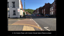
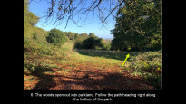
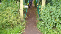
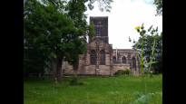
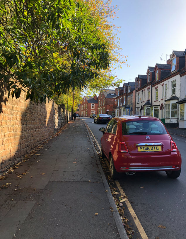
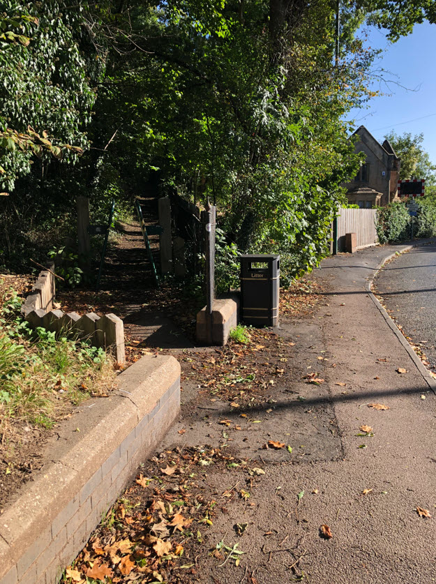
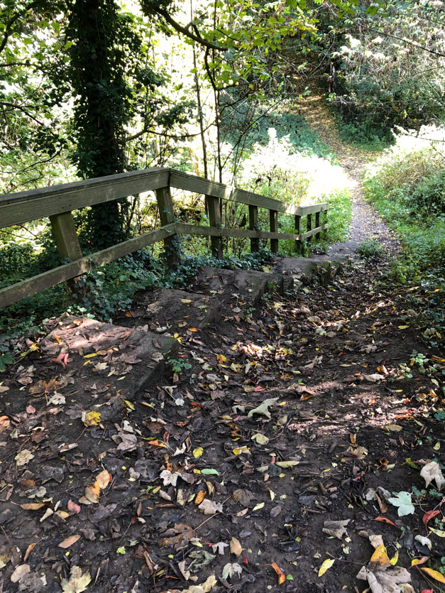
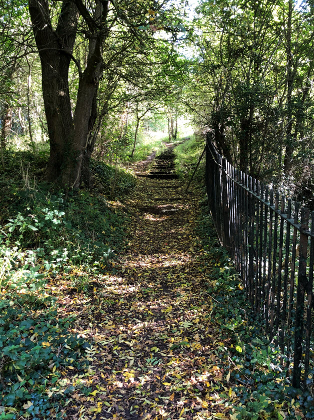
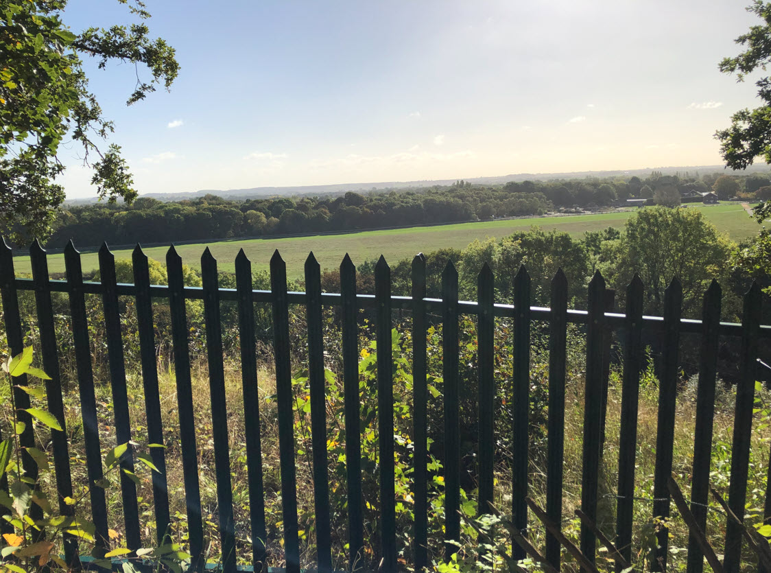
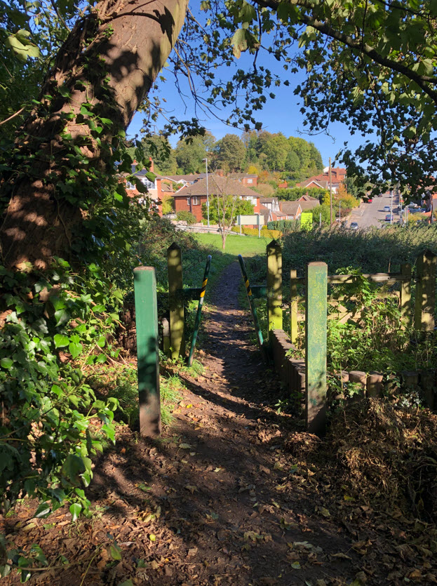
11 Oct 2022Notcar one starts in Nottingham town centre and zig zags through the shopping area towards Sneinton. Then you follow the main road through the residential area towards the start of the section through Colwick woods. The footpath through the woods is sometimes muddy and sometimes a bit hard to follow. The pictures posted by another user are really helpful to guide you through the woods. There are stunning views to the right (south) over the Trent valley and the woods are picturesque. After another suburban section the path through Midland Woods takes you to Carlton Station.
This route is very similar to Notcar two, but this one avoids the Sneinton Greenway section along the route of a mineral line railway, which can be secluded and feels quite lonely.
Lynn Jackson
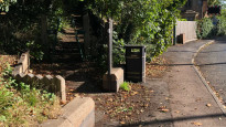
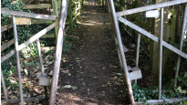
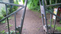
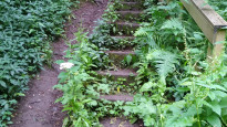
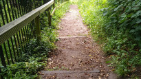
22 Oct 2021I walked from Nottingham to Carlton. The route follows streets for a short time before heading up into woods and parkland (where most of the walk remains). Another short street walk and you will be walking along the train line before finding yourself in Carlton. There are steps and cycle barriers which makes it a problem for wheeled users but an unexpected pleasure of a route.
-
Share your thoughts
Flynntastic
10 Jul 2021We walked this route from Carlton to Nottingham. I enjoyed it more than I thought I would, especially the section through Colwick Wood as it felt like being away from it all rather than in the middle of a city. We didn't meet another person on that section even on a summer Sunday afternoon with good weather. There are good views across the racecourse from the woods. Although the first part of the route is on a smooth path beside the railway and the route at the Nottingham end is all paved, the section through Colwick Woods includes several sets of steps and rough paths so the route would not be suitable for wheelchairs or even bikes.
-
Share your thoughts
Share your views about this route, give it a star rating, indicate whether it should be verified or not.
Include information that will be useful to others considering to walk or wheel it.
You can add up to 15 photos.
Other Routes for Nottingham—Carlton See all Slow Ways
Review this better route and help establish a trusted network of walking routes.
Suggest a better route if it better meets our methodology.
Share your thoughts