Wallington — Croydon
Walcro four

Slow Way not verified yet. Verify Walcro here.
Slow Way not verified yet. Verify Walcro here.
By JohnMyerson on 28 Mar 2024
Description
Replaced by Walcro Five
Replaced by Walcro Five
Status
This route has been reviewed by 3 people.
This route has been flagged (1 times) for reasons relating to accuracy.
Photos for Walcro four


Photos of this route will appear when they are added to a review. You can review this route here.
Information
Route status - Live
Reviews - 3
Average rating -
Is this route good enough? - Yes (2) No (1)
Problems reported - Accuracy (1)
Downloads - 4
Surveys
What is this route like?
Surveys are submitted by fellow users of this website and show what you might expect from this Slow Ways route. Scroll down the page to read more detailed surveys.
| Grade 2X based on 1 surveys | Sign up or log in to survey this route. | ||
|---|---|---|---|
| Description | Note | ||
| Grade 2: Mostly smooth and compacted surfaces, but there may be some loose gravel, muddy patches or cobbles. Access grade X: At least one stile, flight of steps or other obstacle that is highly likely to block access for wheelchair and scooter users. |
Grading is based on average scores by surveyors. This slow way has 1 surveys. | ||
| Full grading description | |||
Only people who have completed our training can become Slow Ways surveyors and submit a survey. We do not vet contributors, so we cannot guarantee the quality or completeness of the surveys they complete. If you are dependent on the information being correct we recommend reading and comparing surveys before setting off.
Survey Photos
Facilities
Facilities in the middle third of this route.
Challenges
Potential challenges reported on this route. Some challenges are seasonal.
Obstacles
Obstacles on this route.
Accessibility
Is this route step and stile free?
Measurements
Surveyors were asked to measure the narrowest and steepest parts of paths.
The narrowest part of the path is 100.0cm (1)
The steepest uphill gradient walking East 10.0% (1)
The steepest uphill gradient walking West 10.0% (1)
The steepest camber gradient across the path 2.0% (1)
How clear is the waymarking on the route: Clear (1)
Successfully completed
We asked route surveyors "Have you successfully completed this route with any of the following? If so, would you recommend it to someone with the same requirements?". Here is how they replied.
Recommended by an expert
We asked route surveyors "Are you a trained access professional, officer or expert? If so, is this route suitable for someone travelling with any of the following?" Here is how they replied.
Terrain
We asked route surveyors to estimate how much of the route goes through different kinds of terrain.
40.0% of the route is on roads (1)
80.0% of the route is lit at night (1)
100.0% of the route is paved (1)
There is no data on muddiness
There is no data on rough ground
There is no data on long grass
Report a problem with this data
1 surveys
Information from verified surveys.
Geography information system (GIS) data
Total length
Maximum elevation
Minimum elevation
Start and end points
Wallington
Grid Ref
TQ2885564000
Lat / Lon
51.36046° / -0.15063°
Easting / Northing
528,855E / 164,000N
What3Words
fake.bronze.races
Croydon
Grid Ref
TQ3284665704
Lat / Lon
51.37486° / -0.09271°
Easting / Northing
532,846E / 165,704N
What3Words
middle.wooden.slang
| Wallington | |
|---|---|
| Grid Ref | TQ2885564000 |
| Lat / Lon | 51.36046° / -0.15063° |
| Easting / Northing | 528,855E / 164,000N |
| What3Words | fake.bronze.races |
| Croydon | |
|---|---|
| Grid Ref | TQ3284665704 |
| Lat / Lon | 51.37486° / -0.09271° |
| Easting / Northing | 532,846E / 165,704N |
| What3Words | middle.wooden.slang |
Sorry Land Cover data is not currently available for this route. Please check back later.
reviews
Derick Rethans
03 Mar 2024It's a lovely route, but I am failing this one, as it was so badly drawn that at places it wasn't possible to follow the route. I've uploaded WalCro5, which is the same route (I think), but much more accurately drawn.
LondonIn360
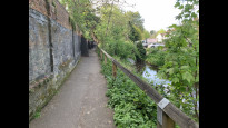
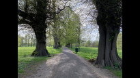
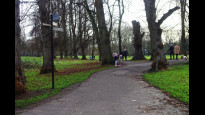
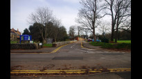
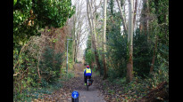
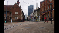
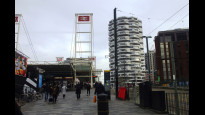
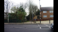
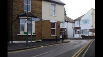
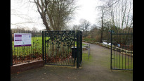
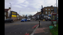
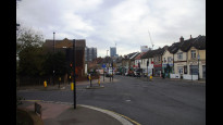
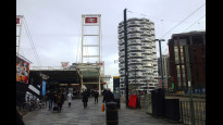
20 Apr 2022Once you dodge a few trams out of East Croydon and go through a less an desirable underpass the routes takes you along a rather splendid series of footpaths. Beddington Park offers the biggest treat of the walk before a short main road jaunt up to Wallington Station.
-
Share your thoughts
JohnMyerson
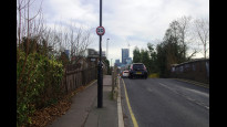
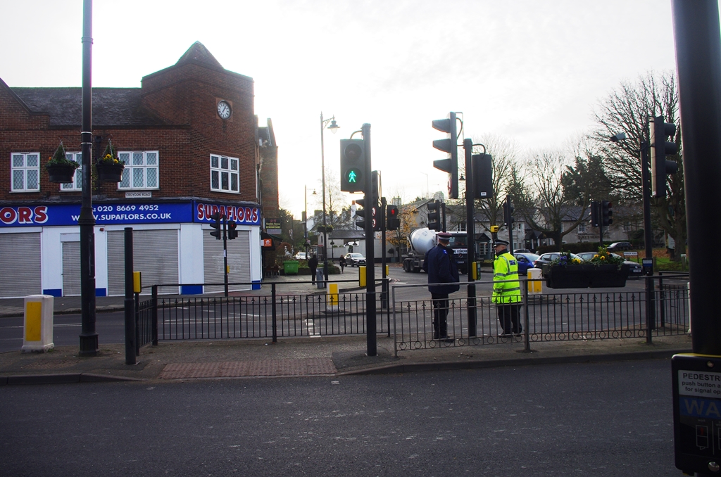
22 Dec 2021 (edited 20 Apr 2022)Pleasant route through Beddington Park and following the Wandle Trail. Last 2 kilometres on pavements alongside fairly busy roads. Majority of route is lit at night. Toilets at Waddon Ponds. Food outlets and supermarkets in Church Street, Croydon.
Use this route from Wallington Green as continuation from Sutton to Croydon (SutWal three).
-
Share your thoughts
Share your views about this route, give it a star rating, indicate whether it should be verified or not.
Include information that will be useful to others considering to walk or wheel it.
You can add up to 15 photos.
Other Routes for Wallington—Croydon See all Slow Ways
Review this better route and help establish a trusted network of walking routes.
Suggest a better route if it better meets our methodology.
Share your thoughts