Clay Cross — North Wingfield
Clanor two

Slow Way not verified yet. Verify Clanor here.
Slow Way not verified yet. Verify Clanor here.
By a Slow Ways Volunteer on 07 Apr 2021
Description
This is a Slow Ways route connecting Clay Cross and North Wingfield.
Know of a better route? Share it here.
This is a Slow Ways route connecting Clay Cross and North Wingfield.
Know of a better route? Share it here.
Status
This route has been reviewed by 3 people.
This route has been flagged (1 times) for reasons relating to accuracy.
Photos for Clanor two


Photos of this route will appear when they are added to a review. You can review this route here.
Information
Route status - Live
Reviews - 3
Average rating -
Is this route good enough? - Yes (2) Maybe (1)
Problems reported - Accuracy (1)
Downloads - 1
Surveys
What is this route like?
Surveys are submitted by fellow users of this website and show what you might expect from this Slow Ways route. Scroll down the page to read more detailed surveys.
| Grade 0U based on 0 surveys | Sign up or log in to survey this route. | ||
|---|---|---|---|
| Description | Note | ||
| Currently ungraded. Access grade U: Currently ungraded. |
Grading is based on average scores by surveyors. This slow way has 0 surveys. | ||
| Full grading description | |||
Only people who have completed our training can become Slow Ways surveyors and submit a survey. We do not vet contributors, so we cannot guarantee the quality or completeness of the surveys they complete. If you are dependent on the information being correct we recommend reading and comparing surveys before setting off.
Survey Photos
We are working to build-up a picture of what routes look like. To do that we are asking volunteers to survey routes so that we can communicate features, obstacles and challenges that may make a route desirable or not.
Slow Ways surveyors are asked to complete some basic online training, but they are not vetted. If you are dependent on the survey information being correct in order to complete a route, we recommend that you think critically about the information provided. You may also wish to wait until more than one survey has been completed.
Help people know more about this route by volunteering to submit a survey.
- Complete the survey training.
- Submit a survey for this route.
Geography information system (GIS) data
Total length
Maximum elevation
Minimum elevation
Start and end points
Clay Cross
Grid Ref
SK3926863469
Lat / Lon
53.16692° / -1.41407°
Easting / Northing
439,268E / 363,469N
What3Words
saga.slanting.saga
North Wingfield
Grid Ref
SK4102765147
Lat / Lon
53.18187° / -1.38755°
Easting / Northing
441,027E / 365,147N
What3Words
olive.fetches.hawks
Clanor Two's land is
| Clay Cross | |
|---|---|
| Grid Ref | SK3926863469 |
| Lat / Lon | 53.16692° / -1.41407° |
| Easting / Northing | 439,268E / 363,469N |
| What3Words | saga.slanting.saga |
| North Wingfield | |
|---|---|
| Grid Ref | SK4102765147 |
| Lat / Lon | 53.18187° / -1.38755° |
| Easting / Northing | 441,027E / 365,147N |
| What3Words | olive.fetches.hawks |
| Arable | 46.7% |
| Urban | 53.3% |
Data: Corine Land Cover (CLC) 2018
reviews
Ken
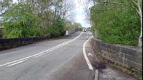
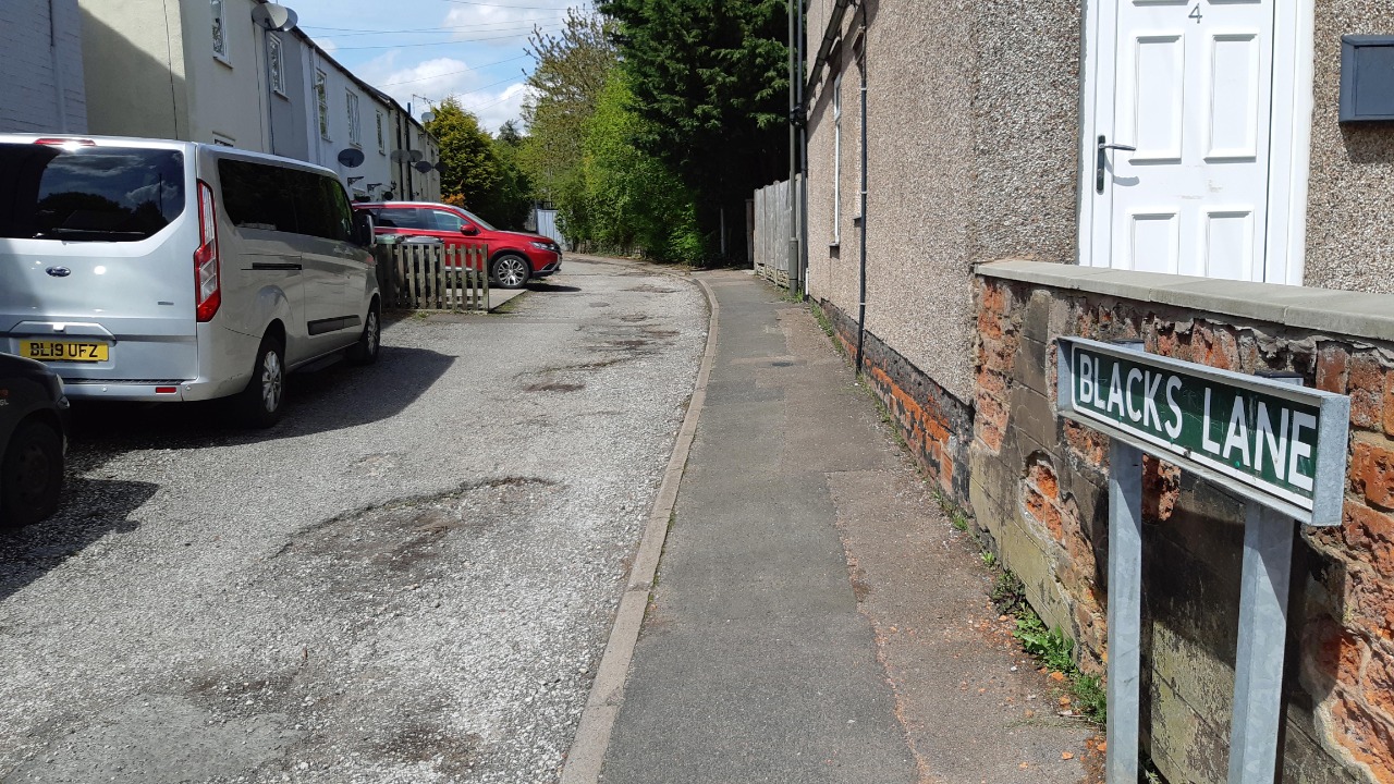
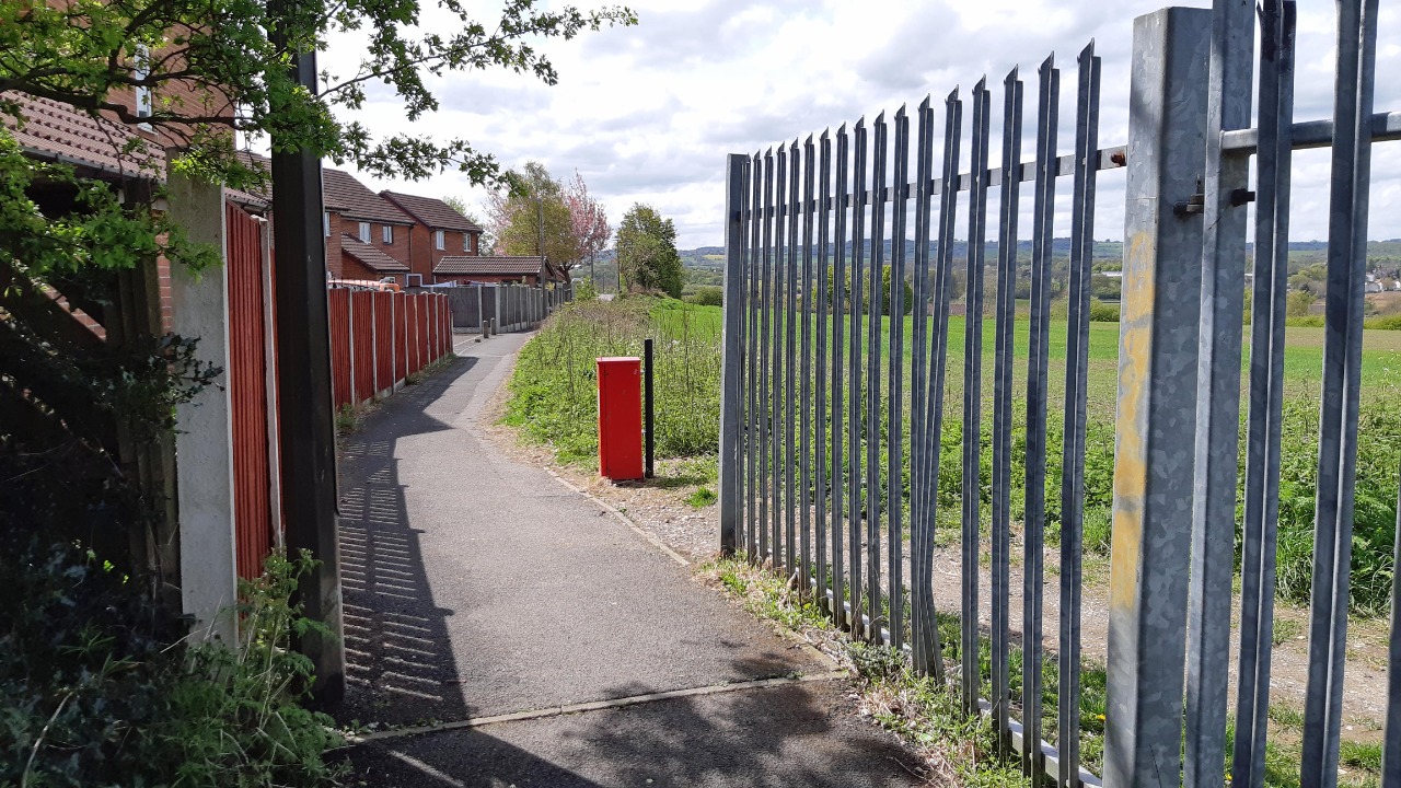
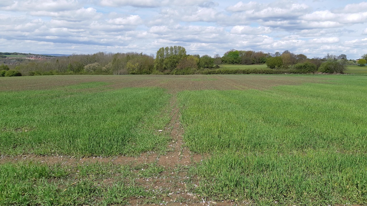
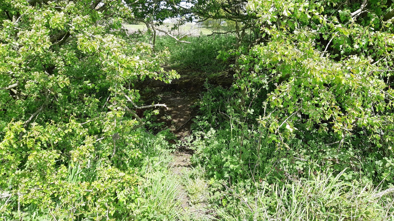
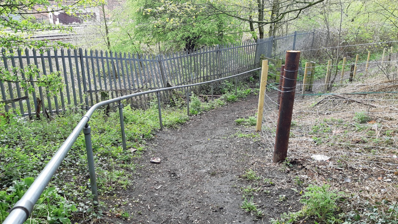
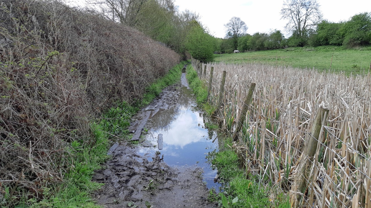
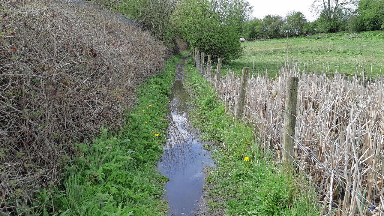
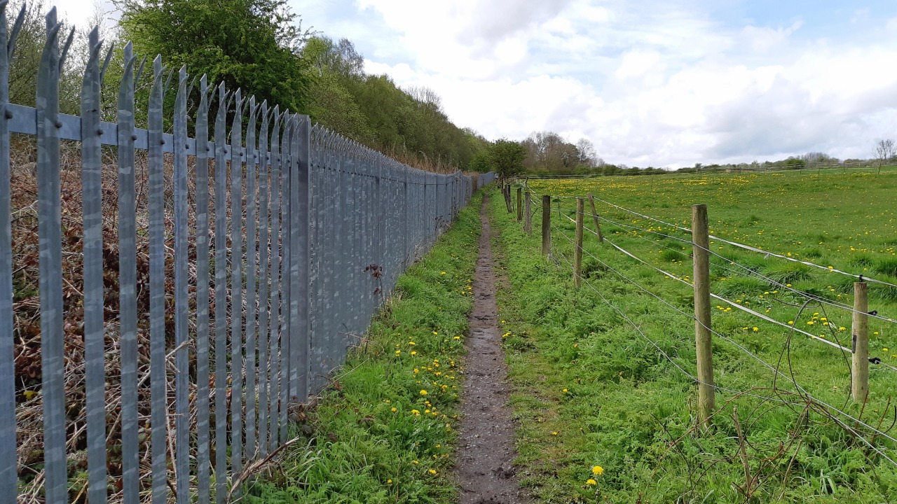
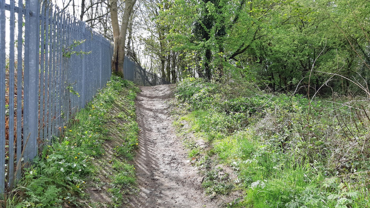
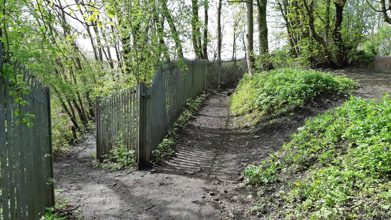
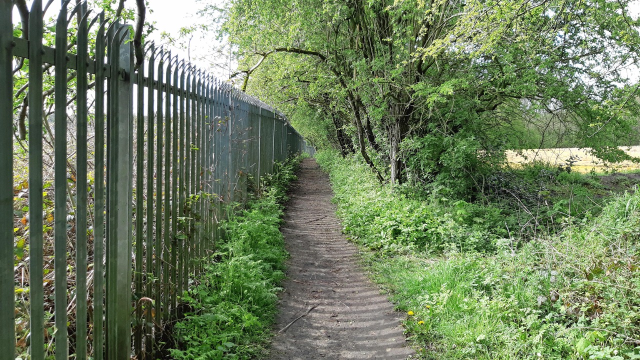
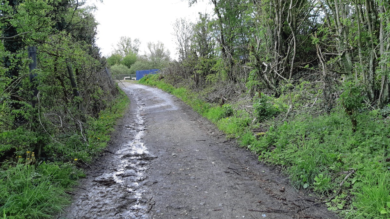
07 Oct 2021I walked from North Wingfield having walked Clanor 1 with the expectation of a pleasant circular leisure walk. The plotting is good but the path leaving the village is just not there, not helped by the farmer's failure to mark the path across a large field. I supect locals walk down the field edge. I spoke to a local who admitted this is a long standing issue, so the plot really needs to show the available route. Once on the NE to SW track it was fine to the road. After the rail crossing the path along side the railway is fenced with overhanging vegetation, this is on the route of the Chesterfield Round which I walked a while back but had to miss this section as it was flooded, the bulrushes along side offer a clue to the boggy nature of the ground.
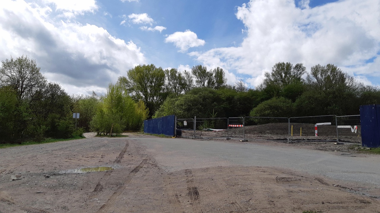
Approaching Clay Cross it was apparent major development is in progress north of Egstow between the two rail lines. I can only hope that estate roads will offer a more direct Clanor link to the footpath over the railway leading to the church.
Jskinner
19 Aug 2021Good walk utilising old railway lines, avoiding main roads. The 'incline' has great views out to the surrounding villages and Chesterfield's famous crooked spire can be seen in the distance. There are a couple of walks through housing estates but these are very quiet.
-
Share your thoughts
Jamie M
12 May 2021Confession time. I was actually walking routes Checla One and Chesnor One which between them parallel much of this route. However by also walking the alternative way into Clay Cross used by this route I was able to complete Clanor Two as well. My walk was on 9 May 2021 and, for the purposes of this review, started at North Wingfield.
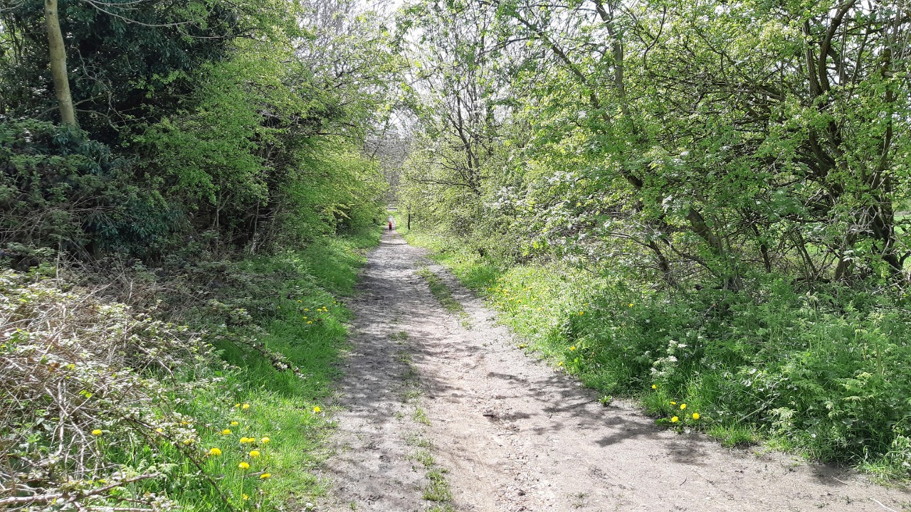
The route was easy to follow and largely free of difficulties and obstructions. The one drawback is that much of it is bounded by trees or fences and lacks views and visual variety.
Positives:
Easy to navigate.
Largely traffic free.
Free of stiles, gates and grazing animals.
Negatives:
Lacks visual variety.
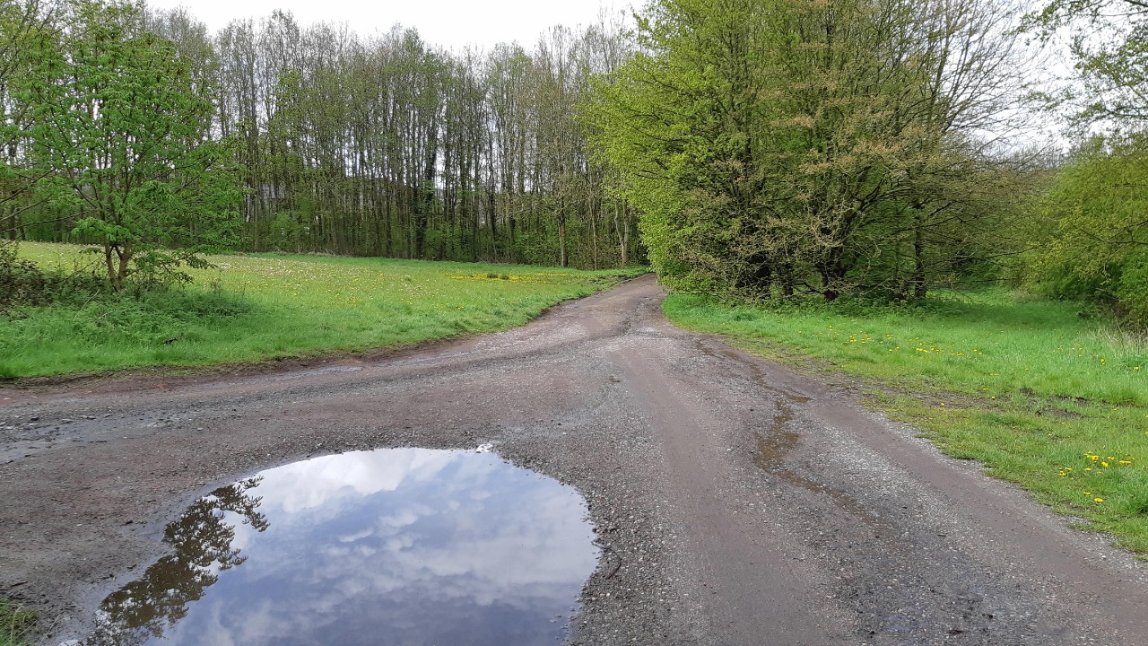
Some puddles after rain the previous day.
Observations:
No refreshment facilities or toilets en route, but distance is short.
Restrictions:
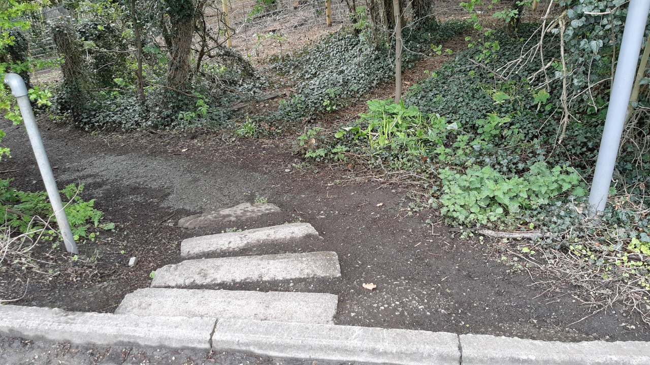
Steps: Just one flight of 4, and avoidable.
Stiles: None.
Gates: None.
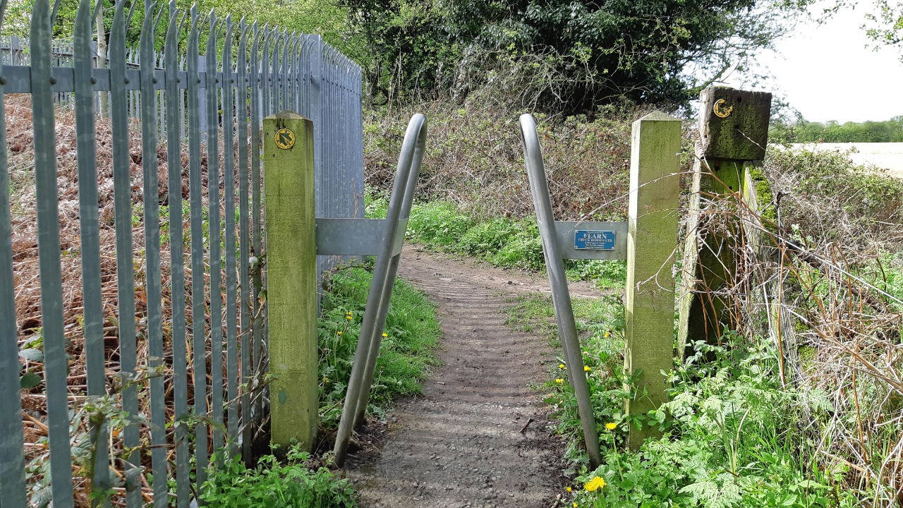
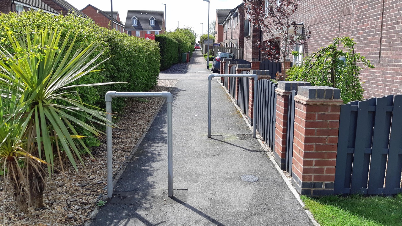
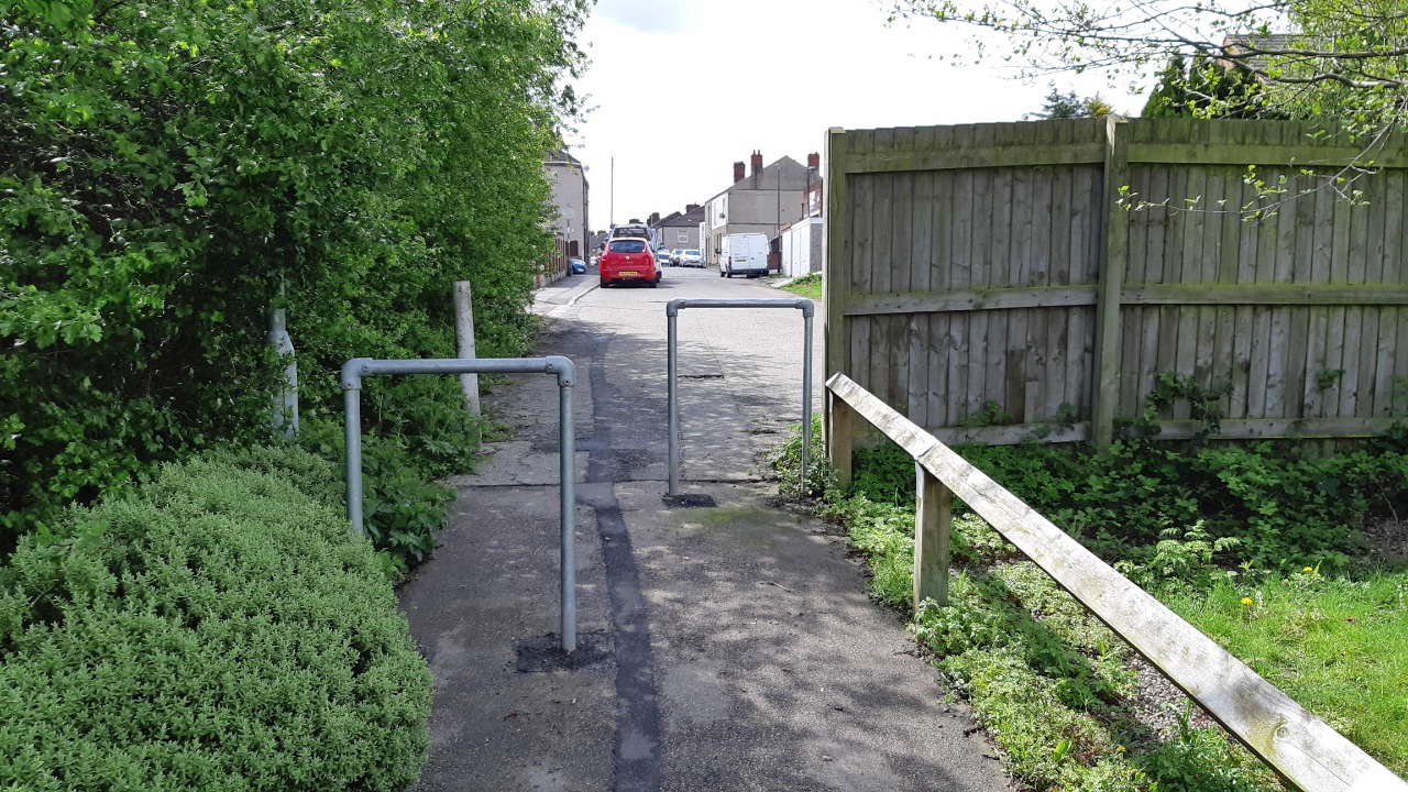
Width Restrictors: 5
Narrow footbridges: None.
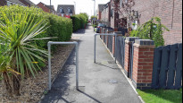
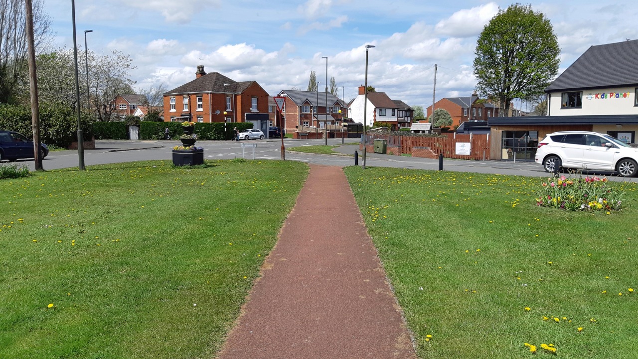
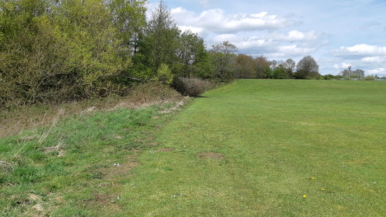
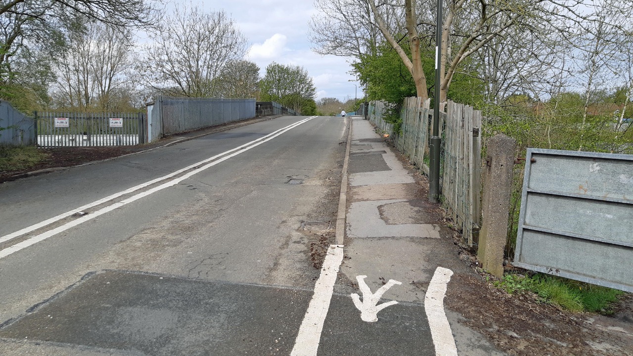
The route starts at the triangular green in North Wingfield, where there is a Spar shop but only one bench. It follows quiet back streets to reach the edge of the village. It then crosses a field, but although the entry and exit points were clear the path between had not yet become re-established after planting. There was an easier and immediately obvious alternative along the edge of the adjacent playing field.
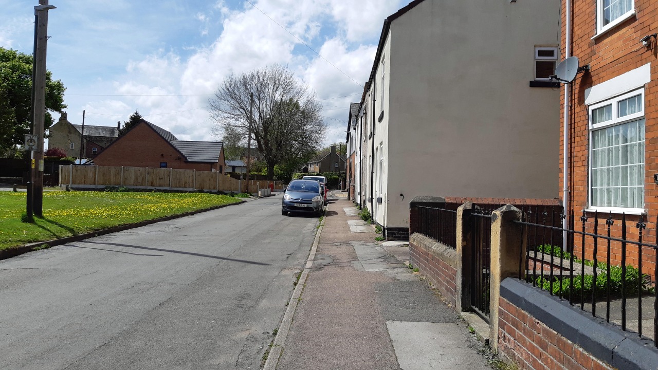
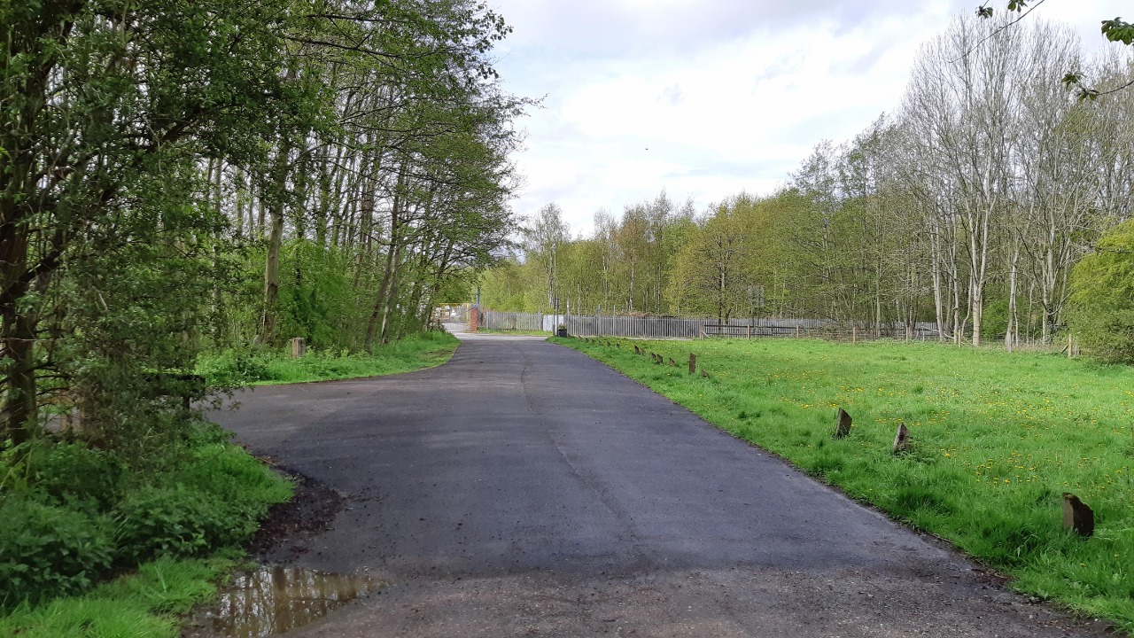
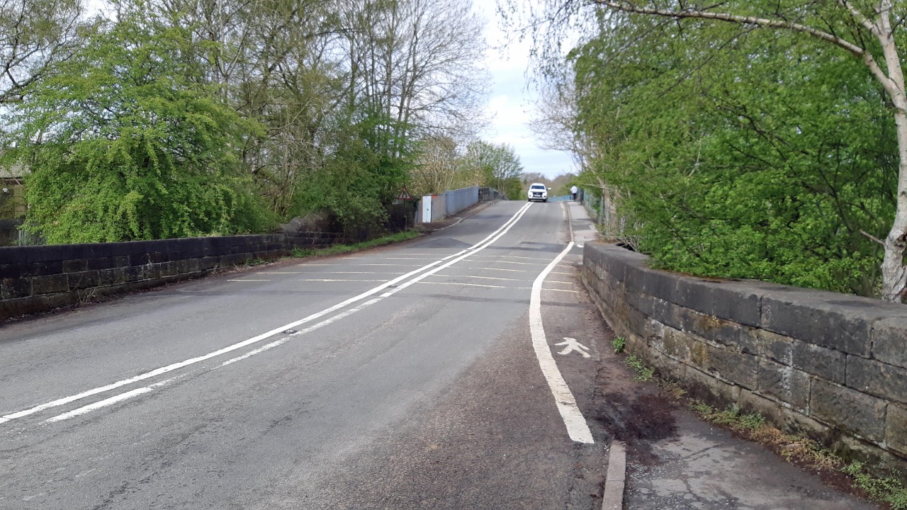
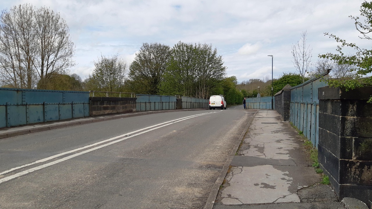
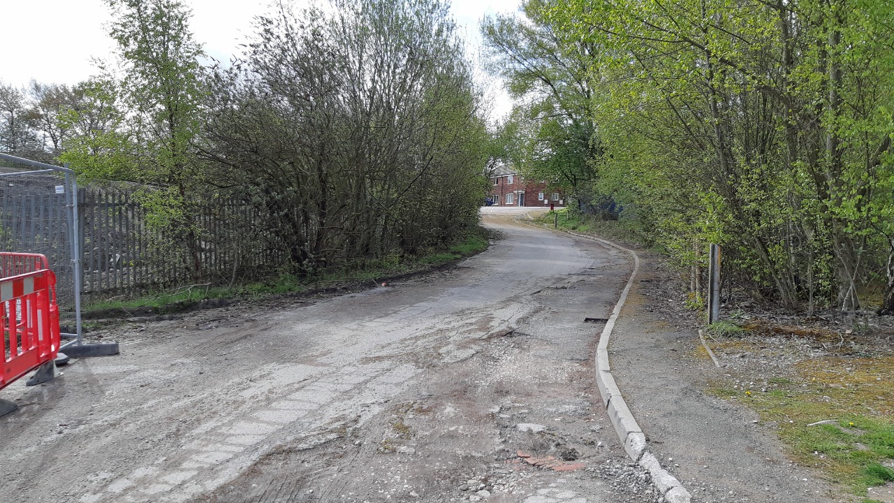
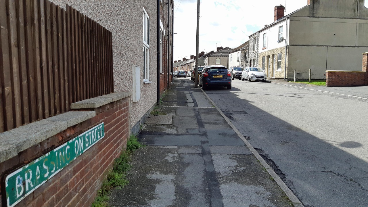
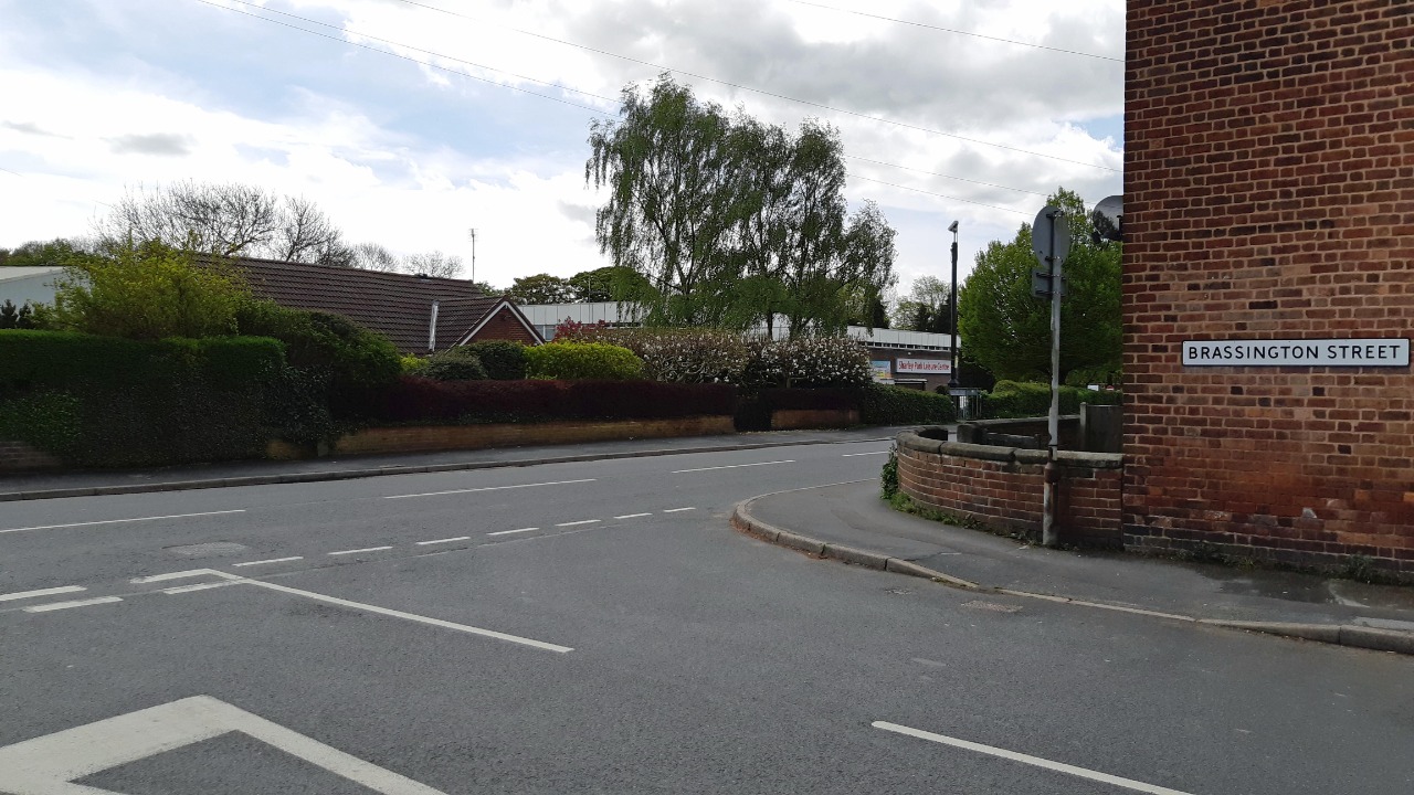
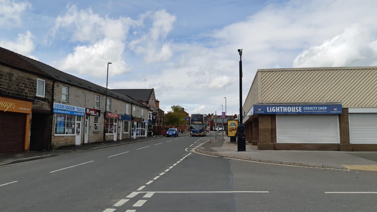
The remainder of the route was very straightforward. It turns left onto a long straight path, downhill in this direction. After a brief section of roadside walking to cross the railway the route turns left again and follows the railway towards Clay Cross. The path here is confined between fences, and puddles from the previous day’s rain had not yet drained away. On reaching the edge of Clay Cross the route takes quieter roads to reach the town centre. This was slightly further than following the main road but was in my view preferable.
-
Share your thoughts
Share your views about this route, give it a star rating, indicate whether it should be verified or not.
Include information that will be useful to others considering to walk or wheel it.
You can add up to 15 photos.
Other Routes for Clay Cross—North Wingfield See all Slow Ways
Review this better route and help establish a trusted network of walking routes.
Suggest a better route if it better meets our methodology.
Share your thoughts