Chesterfield — North Wingfield
Chesnor one

Verified Slow Way
Verified by 100.00% of reviewers
Verified Slow Way
Verified by 100.00% of reviewers
By a Slow Ways Volunteer on 07 Apr 2021
Description
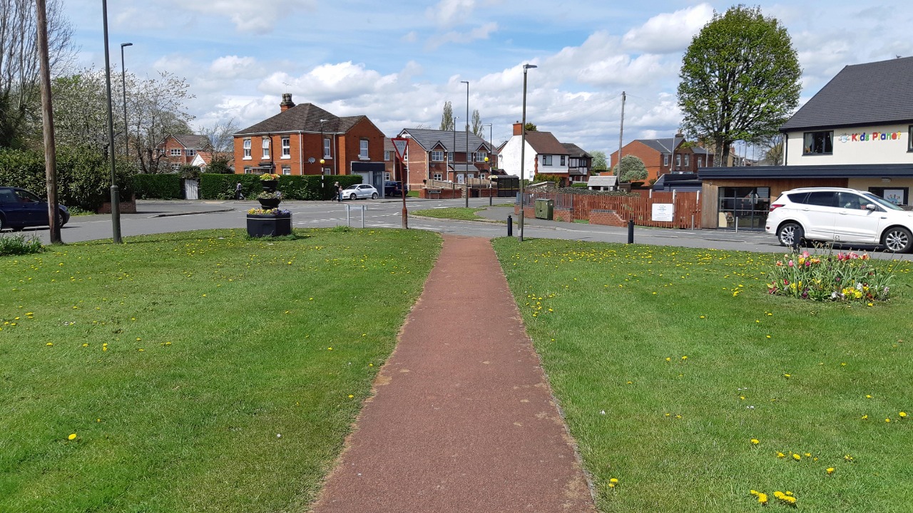
This is a Slow Ways route connecting Chesterfield and North Wingfield.
Know of a better route? Share it here.
This is a Slow Ways route connecting Chesterfield and North Wingfield.
Know of a better route? Share it here.
Status
This route has been reviewed by 4 people.
There are no issues flagged.
Photos for Chesnor one


Photos of this route will appear when they are added to a review. You can review this route here.
Information
Route status - Live
Reviews - 4
Average rating -
Is this route good enough? - Yes (4)
There are currently no problems reported with this route.
Downloads - 5
Surveys
What is this route like?
Surveys are submitted by fellow users of this website and show what you might expect from this Slow Ways route. Scroll down the page to read more detailed surveys.
| Grade 4X based on 1 surveys | Sign up or log in to survey this route. | ||
|---|---|---|---|
| Description | Note | ||
| Grade 4: Route includes very rough surfaces including deep ruts, steep loose gravel, unmade paths and deep muddy sections. Wheelchairs may experience traction/wheel spin issues. Access grade X: At least one stile, flight of steps or other obstacle that is highly likely to block access for wheelchair and scooter users. |
Grading is based on average scores by surveyors. This slow way has 1 surveys. | ||
| Full grading description | |||
Only people who have completed our training can become Slow Ways surveyors and submit a survey. We do not vet contributors, so we cannot guarantee the quality or completeness of the surveys they complete. If you are dependent on the information being correct we recommend reading and comparing surveys before setting off.
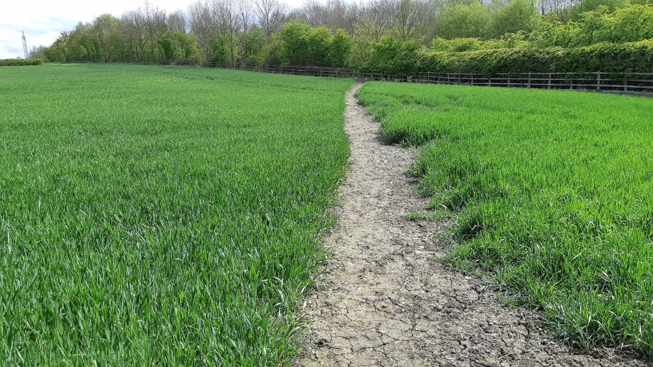
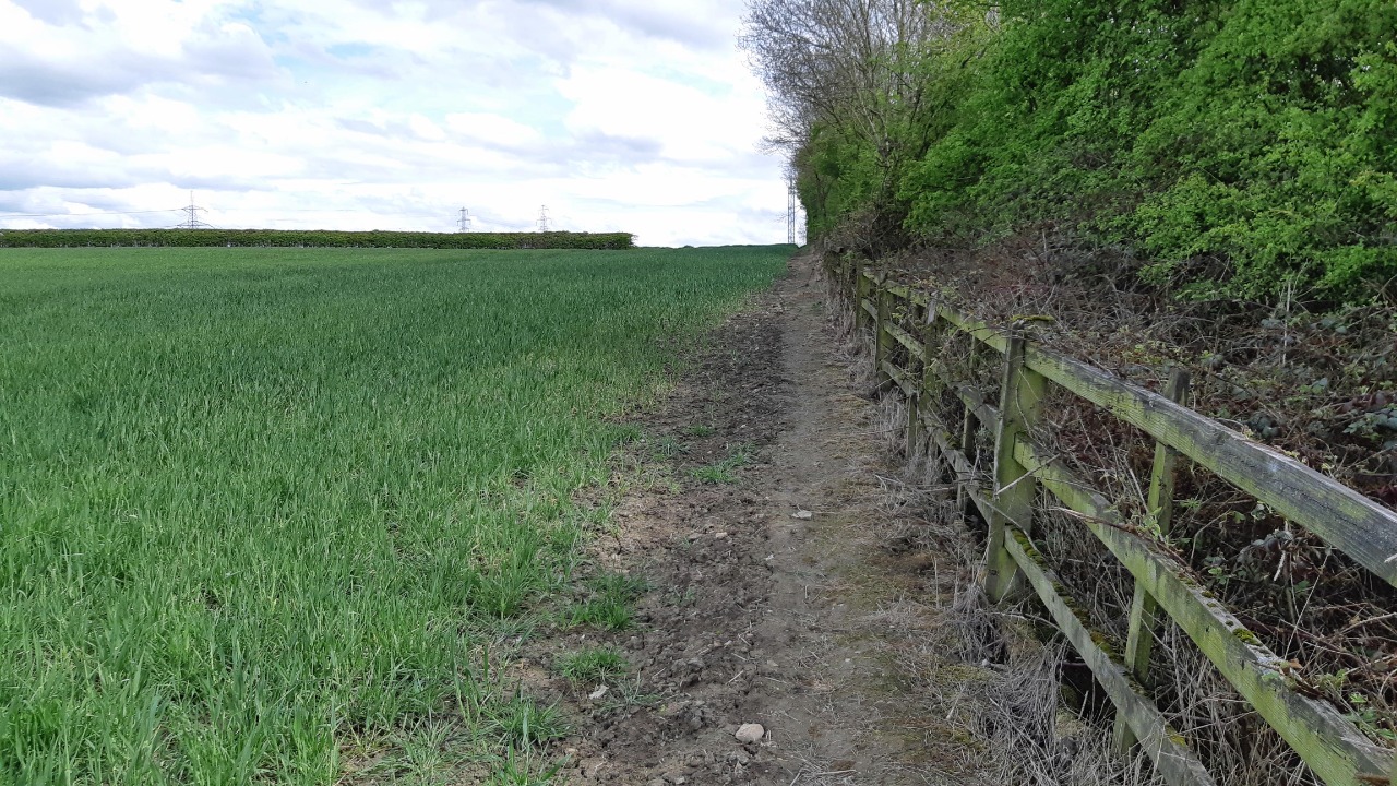
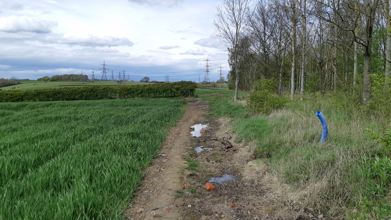
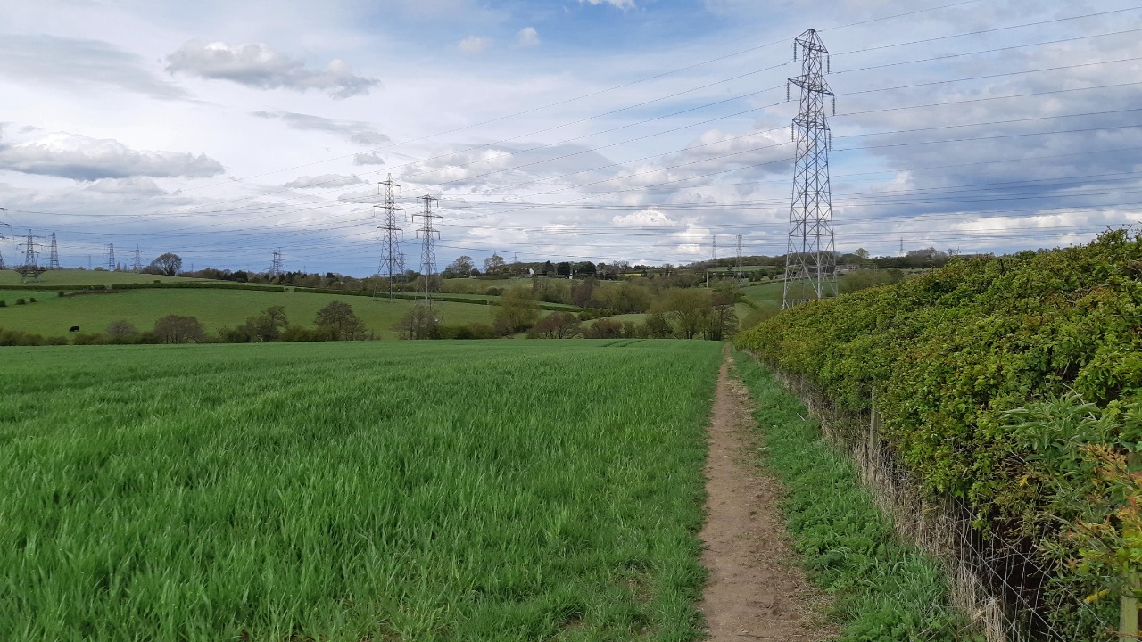
Survey Photos
Facilities
Facilities in the middle third of this route.
Challenges
Potential challenges reported on this route. Some challenges are seasonal.
Obstacles
Obstacles on this route.
Accessibility
Is this route step and stile free?
Measurements
Surveyors were asked to measure the narrowest and steepest parts of paths.
The narrowest part of the path is 50.0cm (1)
The steepest uphill gradient East: no data
The steepest uphill gradient West: no data
The steepest camber: no data
How clear is the waymarking on the route: Unclear in places (1)
Successfully completed
We asked route surveyors "Have you successfully completed this route with any of the following? If so, would you recommend it to someone with the same requirements?". Here is how they replied.
Recommended by an expert
We asked route surveyors "Are you a trained access professional, officer or expert? If so, is this route suitable for someone travelling with any of the following?" Here is how they replied.
Terrain
We asked route surveyors to estimate how much of the route goes through different kinds of terrain.
20.0% of the route is on roads (1)
10.0% of the route is lit at night (1)
40.0% of the route is paved (1)
20.0% of the route is muddy (1)
5.0% of the route is over rough ground (1)
1.0% of the route is through long grass (1)
Report a problem with this data
1 surveys
Information from verified surveys.
Geography information system (GIS) data
Total length
Maximum elevation
Minimum elevation
Start and end points
Chesterfield
Grid Ref
SK3850071140
Lat / Lon
53.23592° / -1.42464°
Easting / Northing
438,500E / 371,140N
What3Words
silly.shall.hook
North Wingfield
Grid Ref
SK4102765147
Lat / Lon
53.18187° / -1.38755°
Easting / Northing
441,027E / 365,147N
What3Words
olive.fetches.hawks
Chesnor One's land is
| Chesterfield | |
|---|---|
| Grid Ref | SK3850071140 |
| Lat / Lon | 53.23592° / -1.42464° |
| Easting / Northing | 438,500E / 371,140N |
| What3Words | silly.shall.hook |
| North Wingfield | |
|---|---|
| Grid Ref | SK4102765147 |
| Lat / Lon | 53.18187° / -1.38755° |
| Easting / Northing | 441,027E / 365,147N |
| What3Words | olive.fetches.hawks |
| Arable | 48.4% |
| Green urban | 3.3% |
| Pasture | 11.7% |
| Urban | 36.6% |
Data: Corine Land Cover (CLC) 2018
reviews
StephenWalker
26 Aug 2023I walked this route from Chesterfield. Having read through the reviews I agree with a lot that has been written. Briefly, using the 1:25000 OS map helps to make sense of the plot on the website, and is invaluable. Despite the short urbanised stretches I enjoyed the route. On the day I walked the paths were dry.
Hugh Hudson
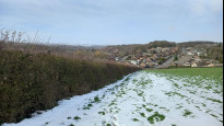
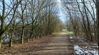
12 Mar 2023 (edited 13 Mar 2023)Walked from Chesterfield to North Wingfield, on a mild winter day after a few days of snow, now thawing fast. A bit of a mixed bag but no show stoppers. Very wet in places due to what was left of the snow. The route is rather indirect and hilly, and some of the paths are not well enough used to be easy to follow. There are good views in places, and the sections on the Five Pits Trail are very enjoyable.
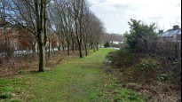
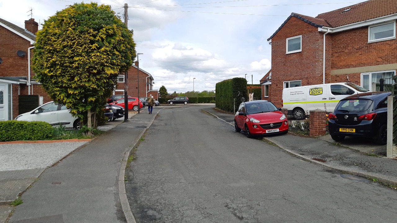
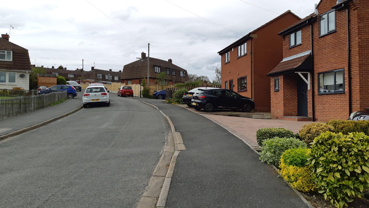
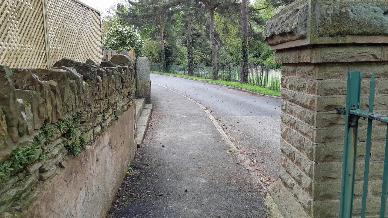
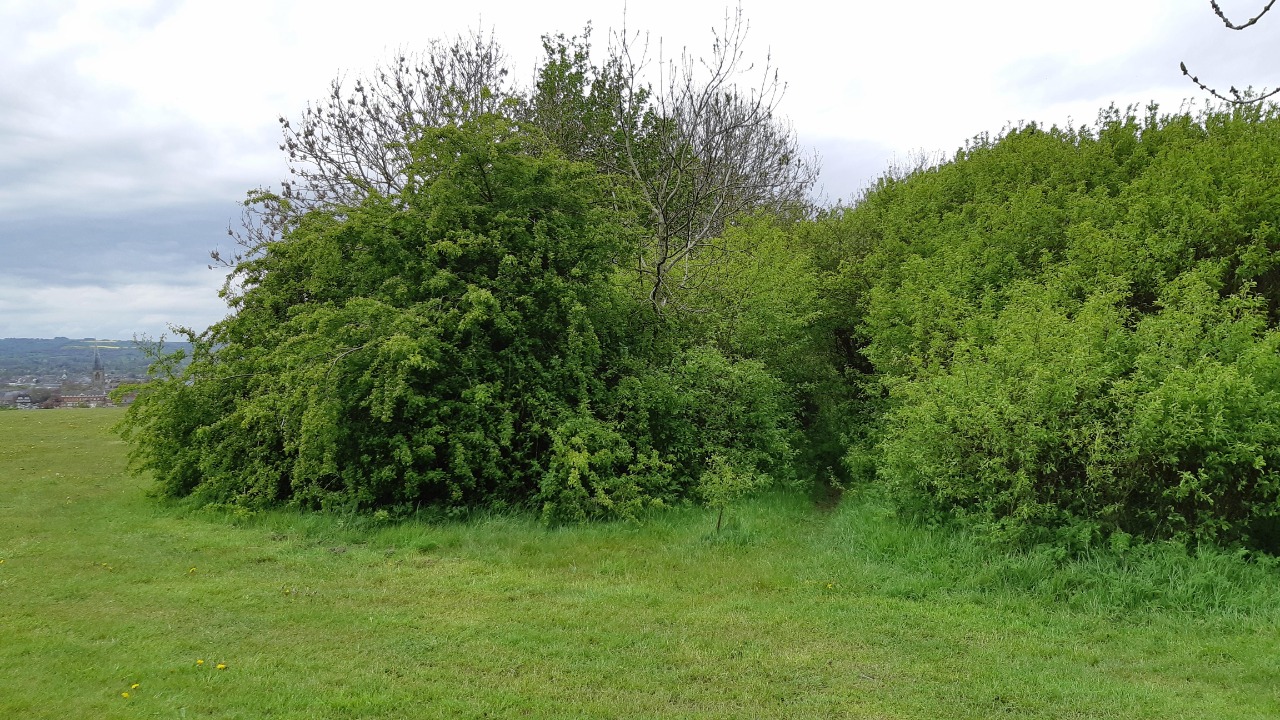
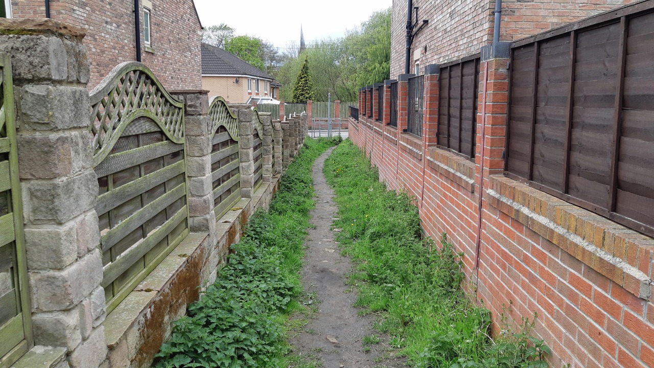
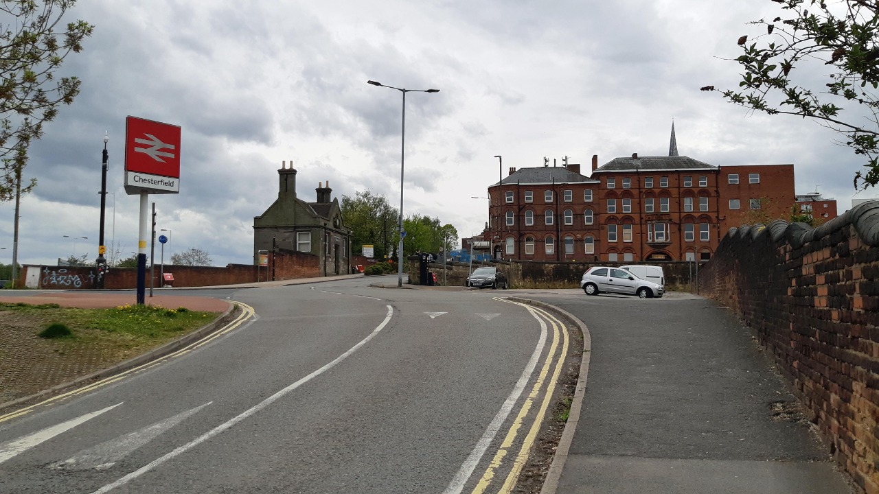
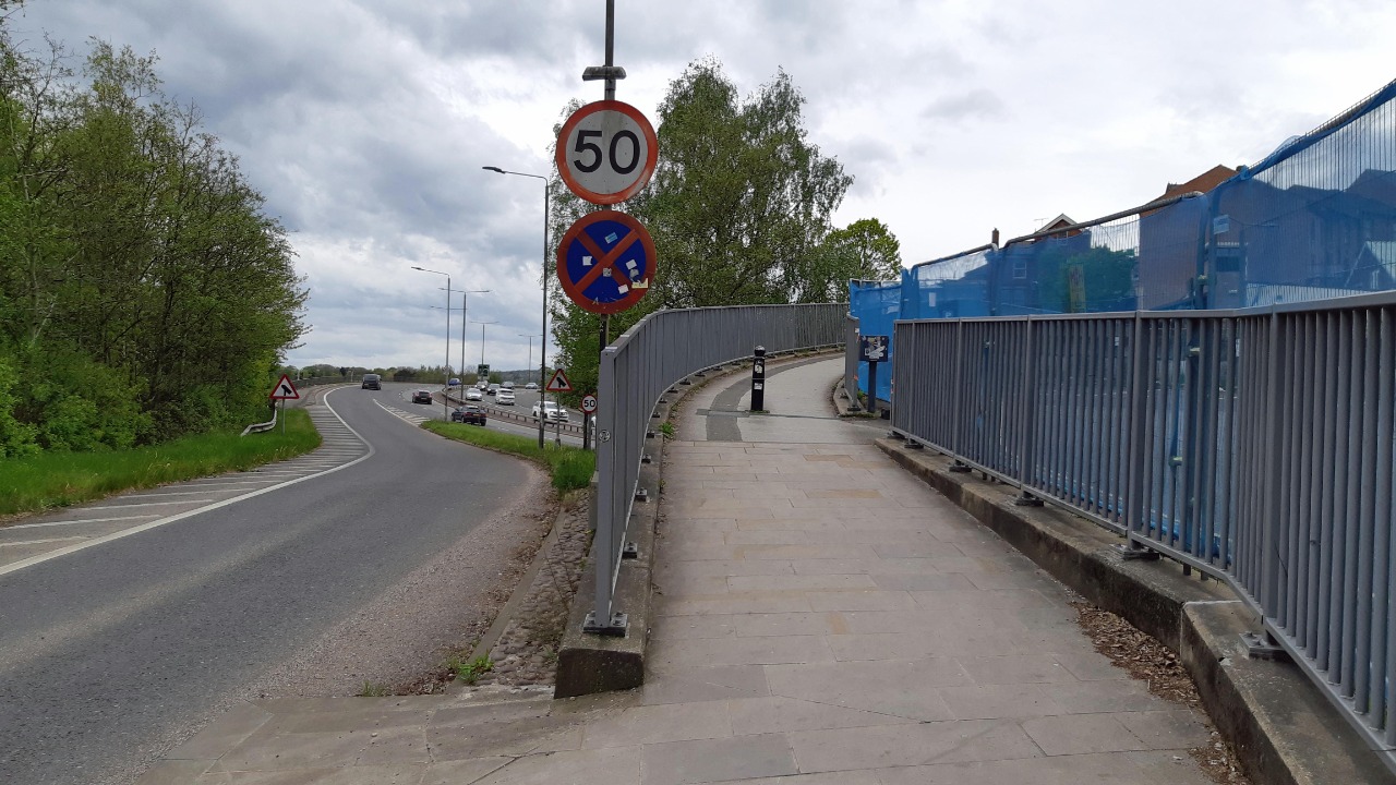
Leaving the churchyard in Chesterfield, we take the obvious direct route past the station and under the railway. We continue up Crow Lane and right onto Piccadilly Road (I prefer the CHEBOL 4 route through Riverside Park). We then take the path that climbs steeply (and often muddily) between fences and out onto the golf course. The route through the golf course is easier to follow in descent, but when I walked it there was too much snow on the course for any golfers to be out, so I didn't try to follow the markers too closely (and at least one of them seemed to lead into impenetrable undergrowth). Eventually we reach a well used path that heads south to Hady Hill. Rather than following the main road left, we take the path that emerges on Sycamore Drive, then follow Sycamore Drive right back to the A632.
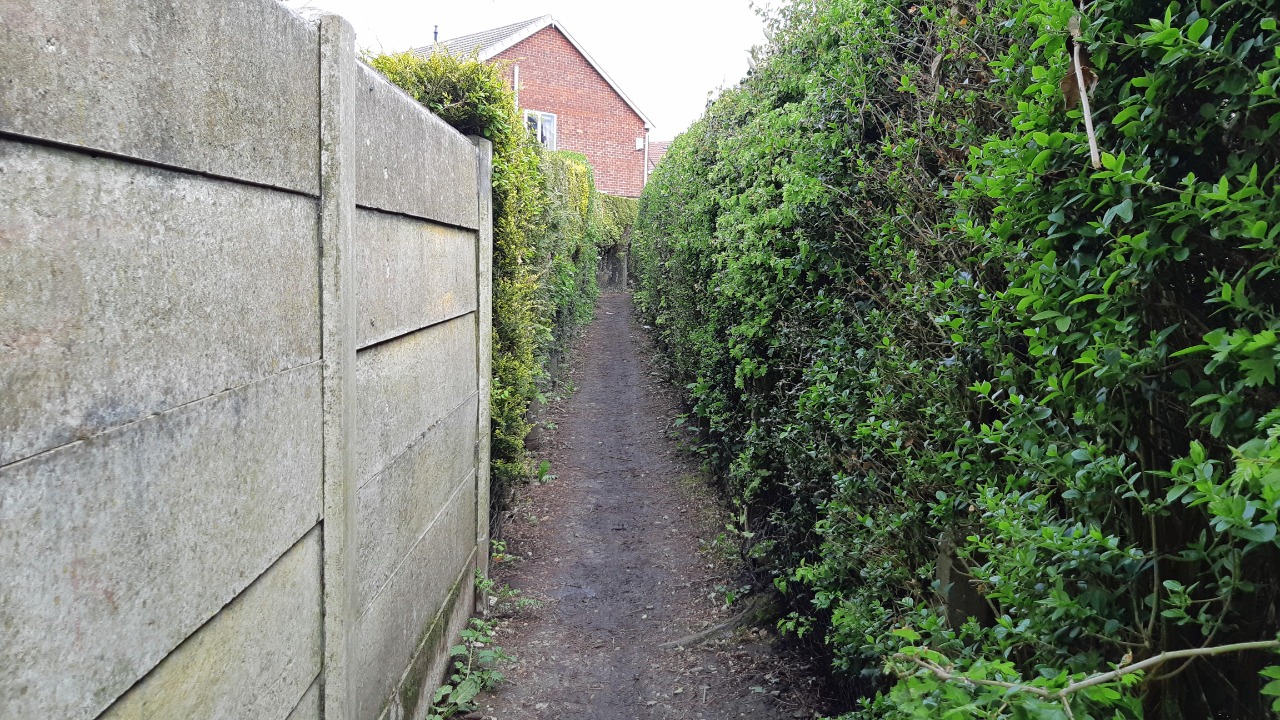
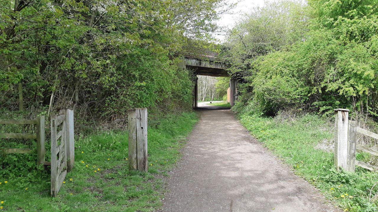
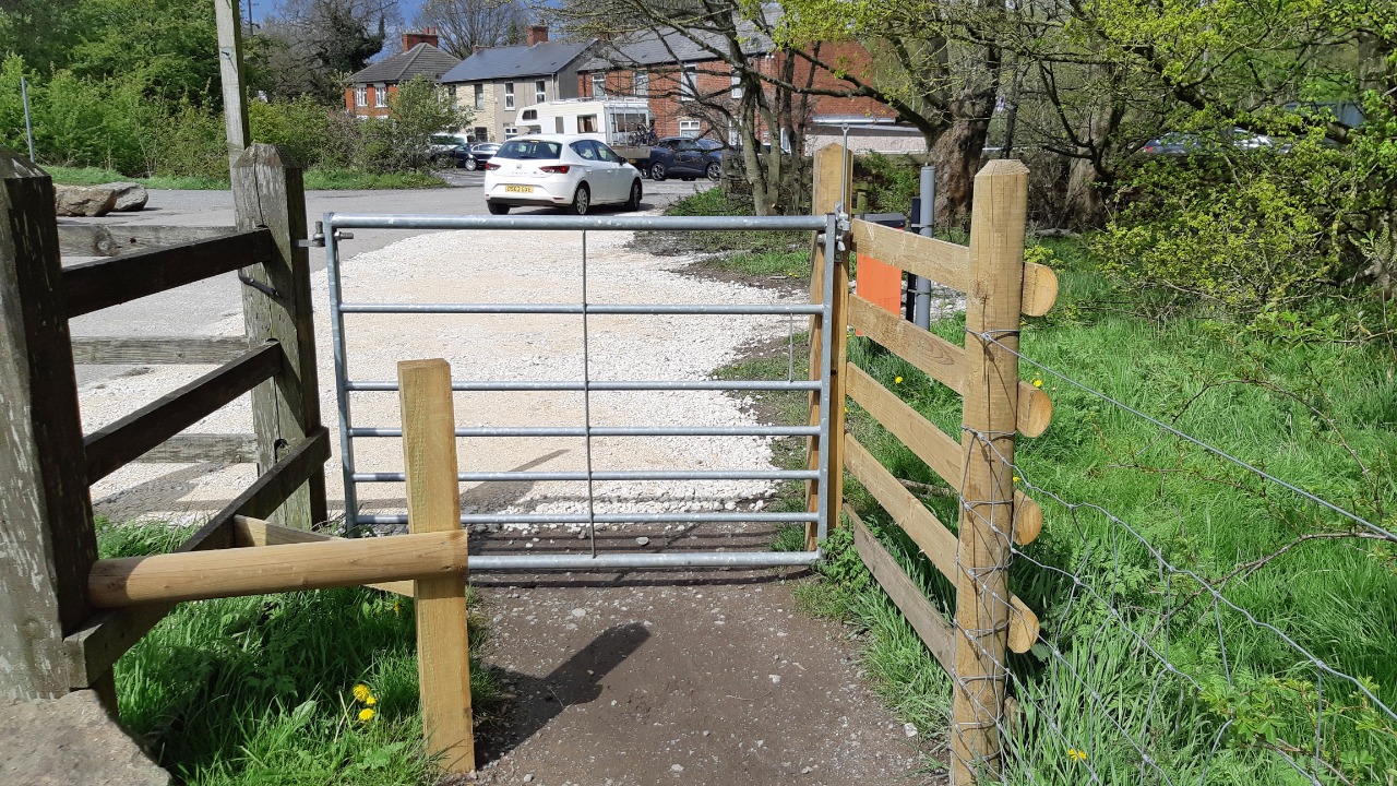
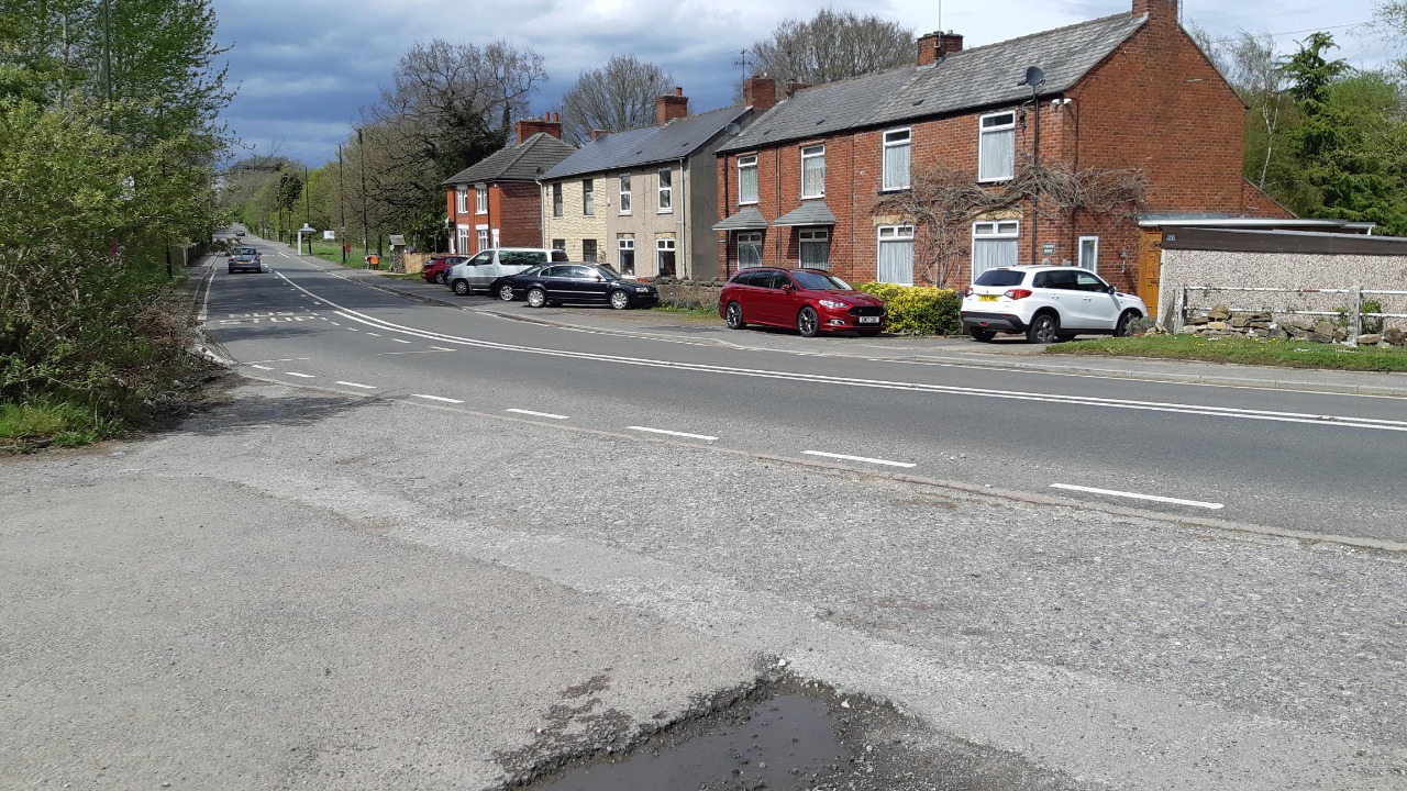
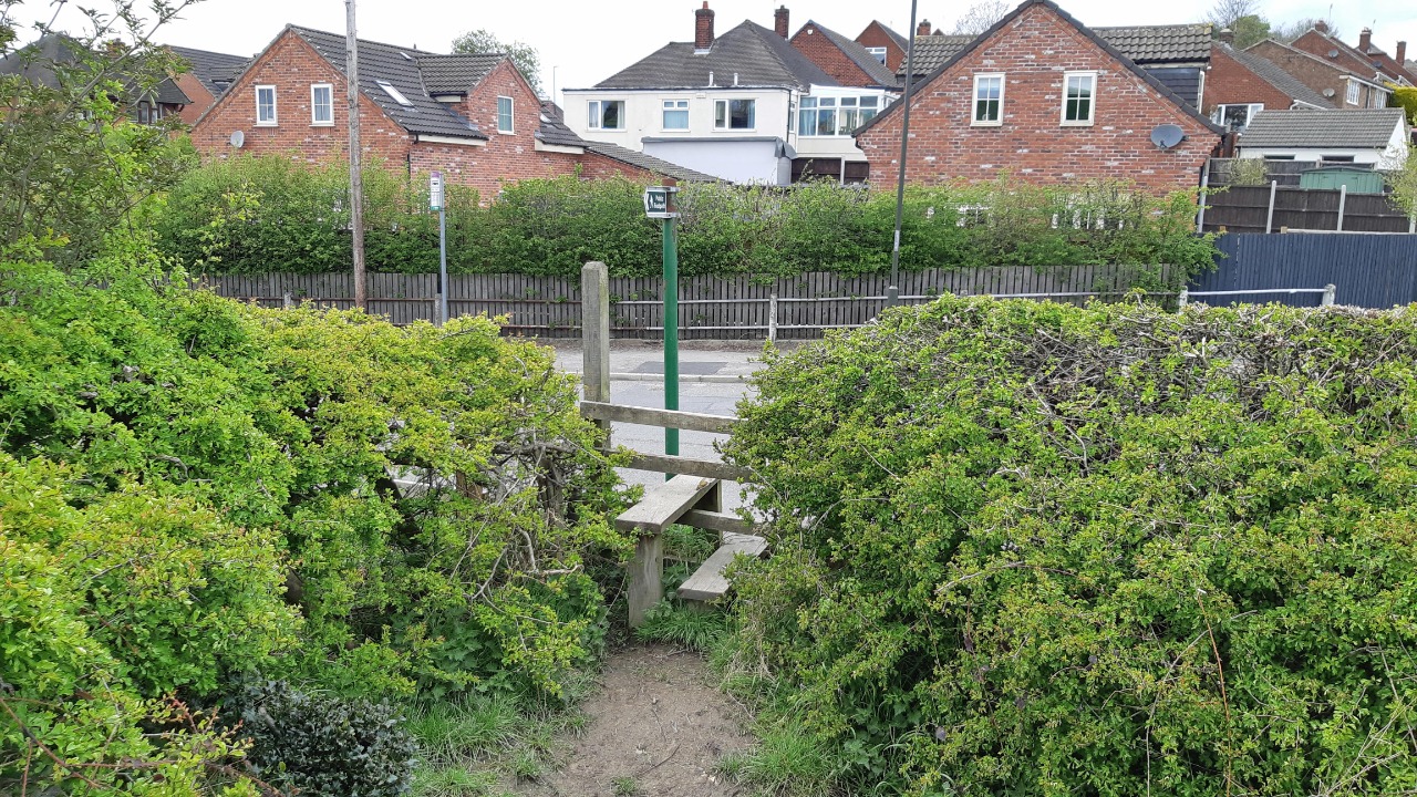
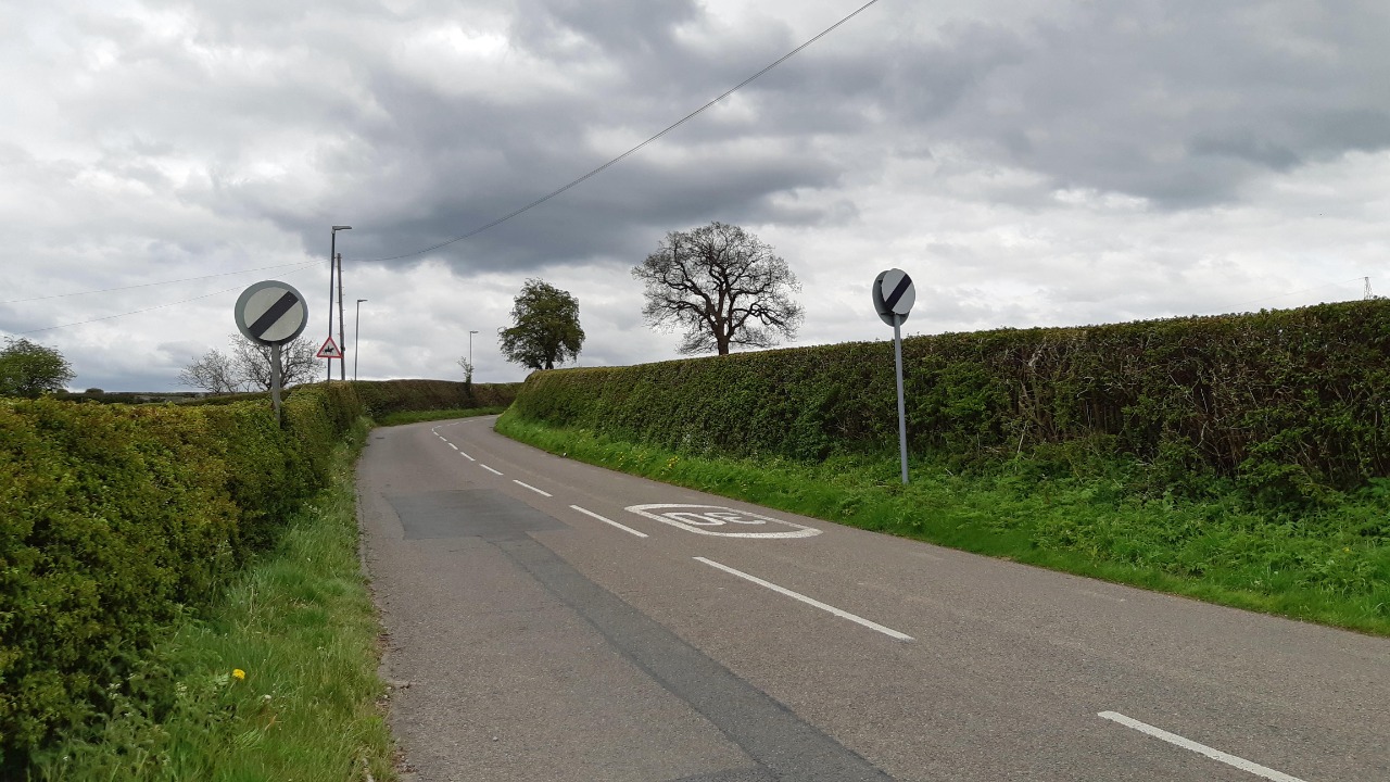
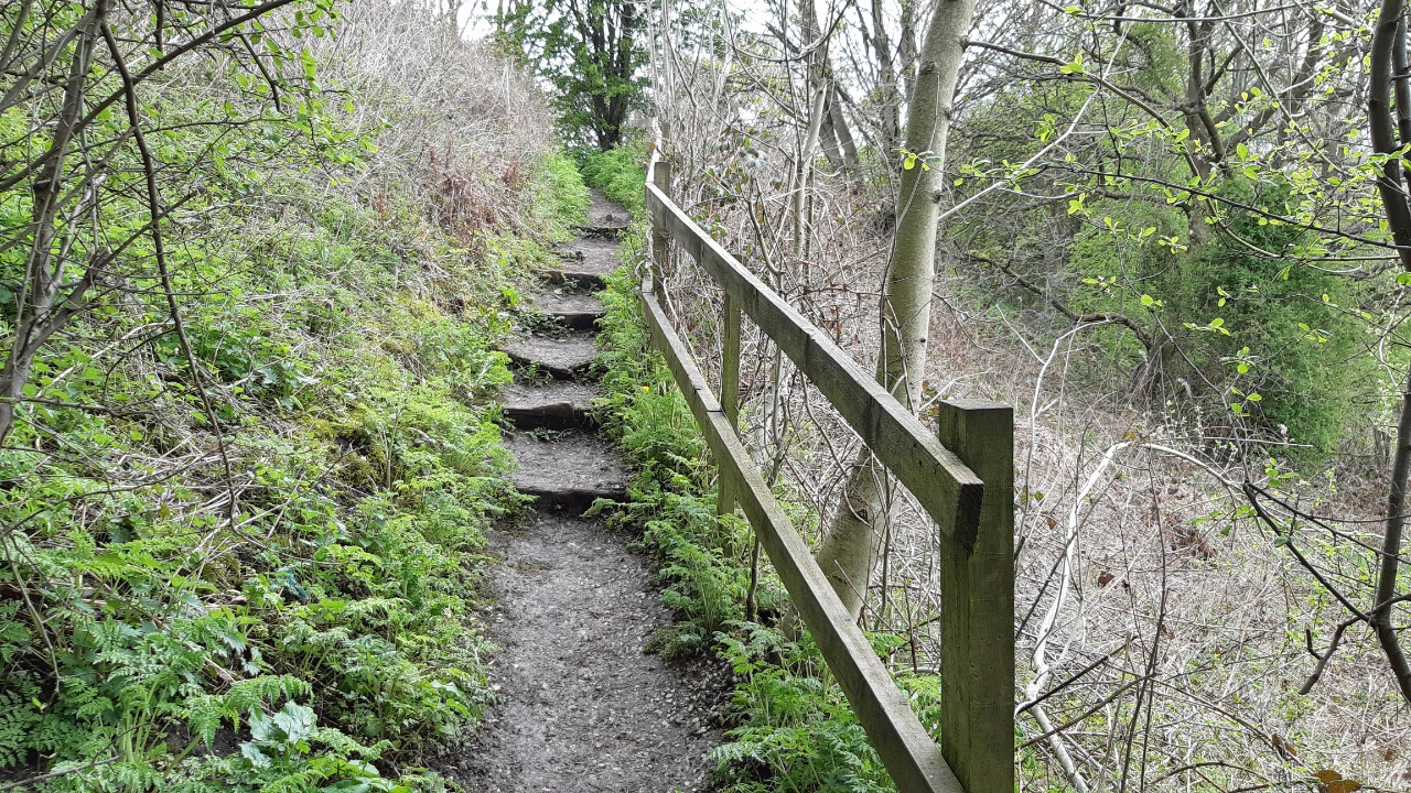
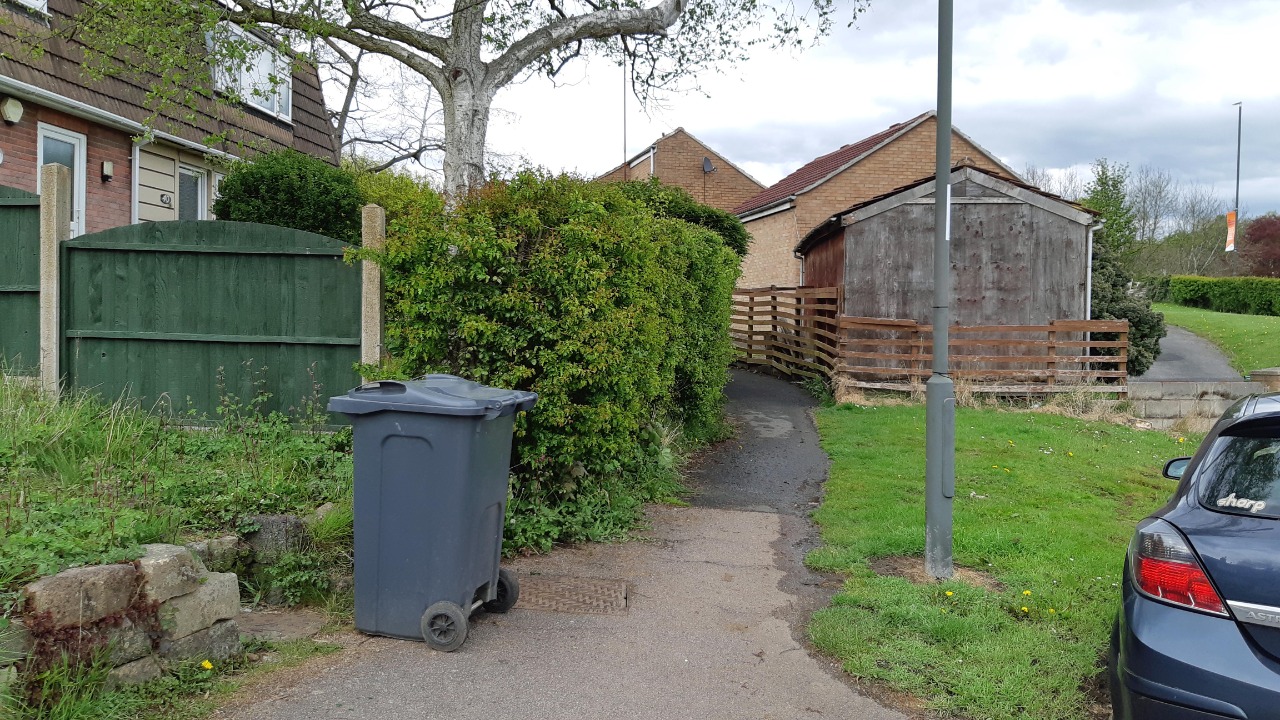
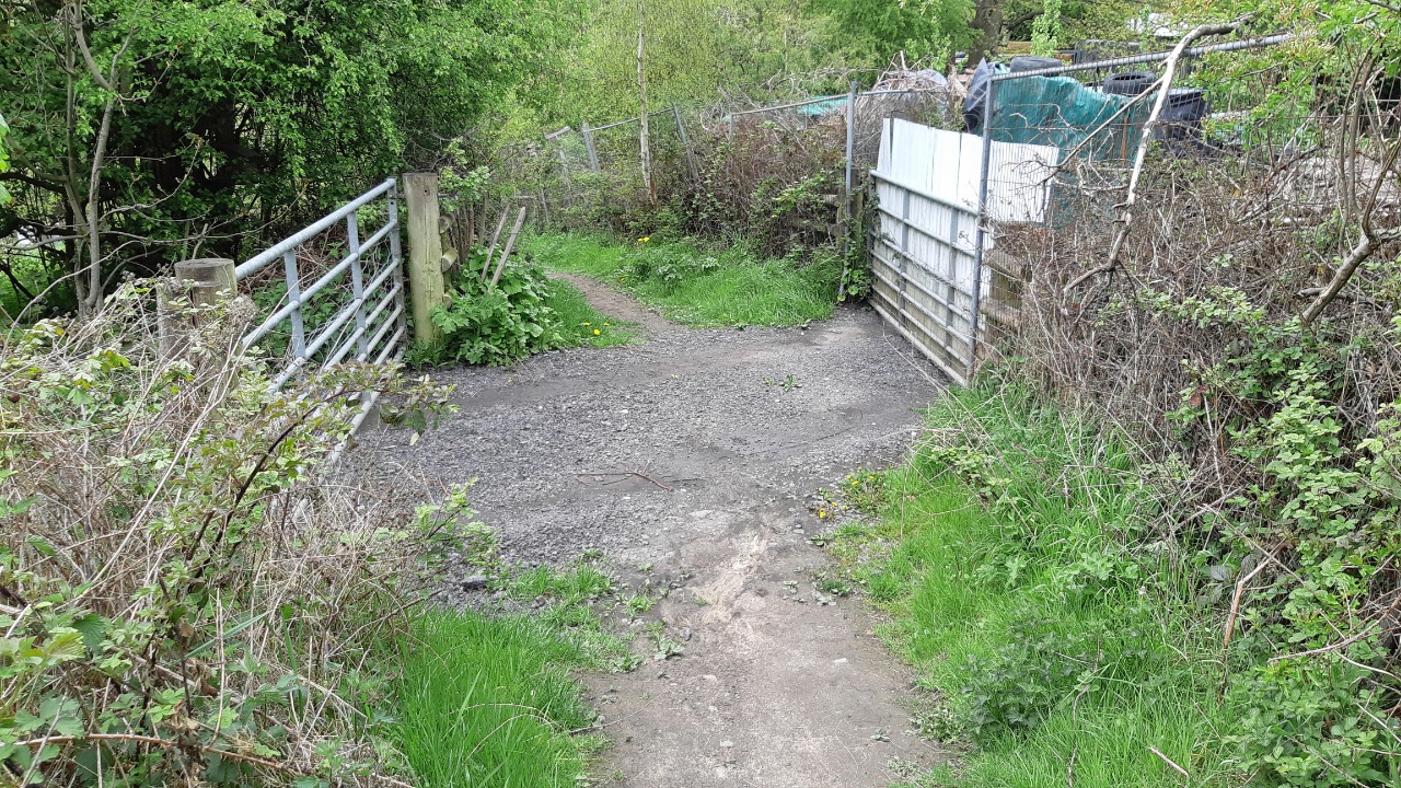
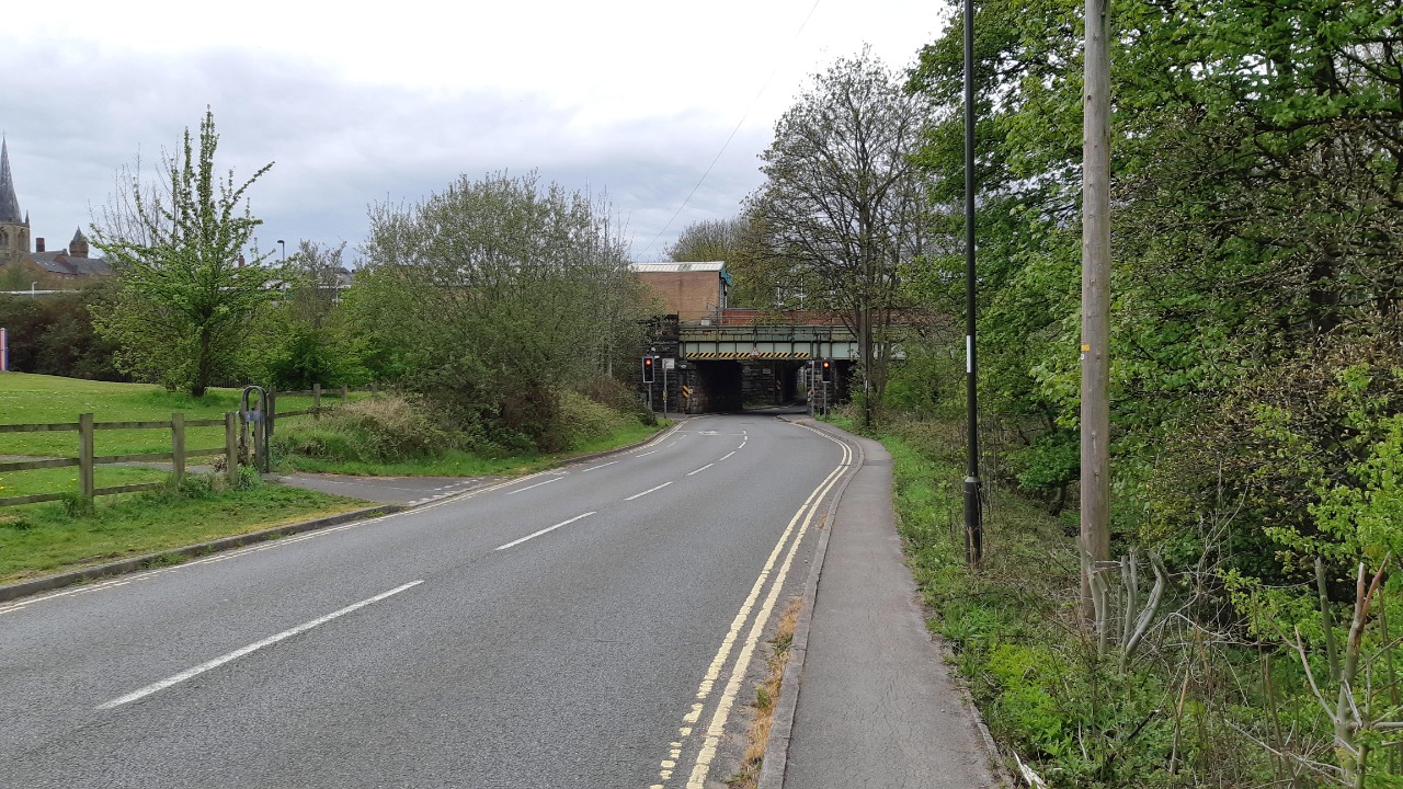
The GPX plotting is a little too approximate to show what comes next. We have to go a few yards right on the A632 to find the alleyway that leads down to Harvey Road - the GPX line trespasses through gardens and over walls. We follow quiet roads down through the housing estate and down Lea Road, then use paved paths and alleyways to continue past a small park to the old railway, where we turn left on an unsurfaced track. We follow the path off the old railway and down a few steps, then turn right under the railway bridge and take the lane (Dingle Lane) left beyond it that leads out to Calow Lane. We go right a short distance down the lane (take care as there is no pavement and the narrow verge is too steep to be walkable. We then follow the signposted footpath left over a stile and up the hill.
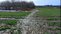
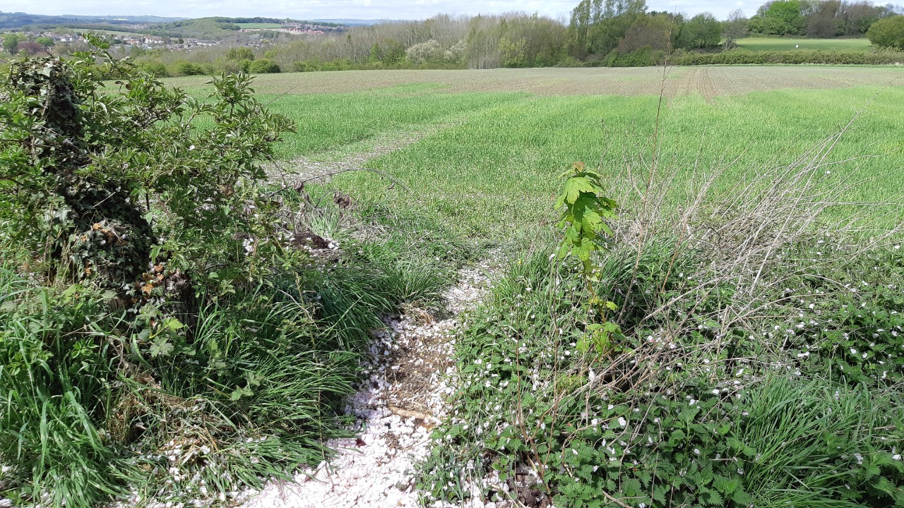
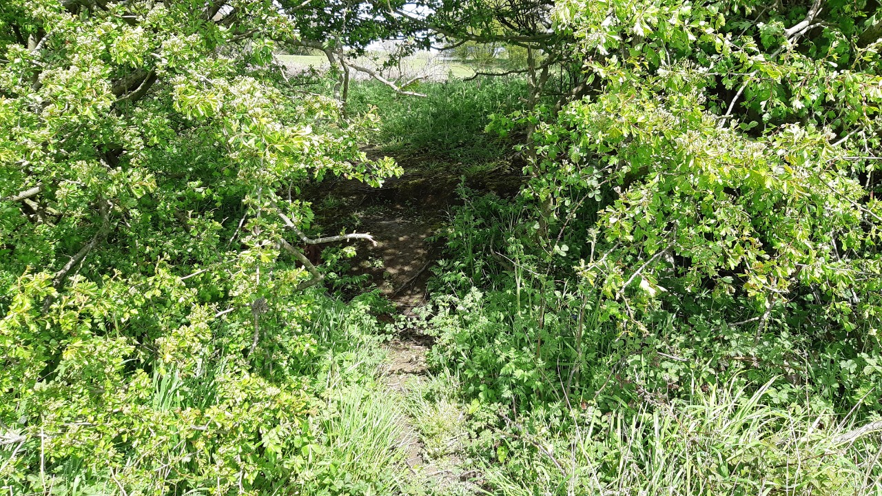
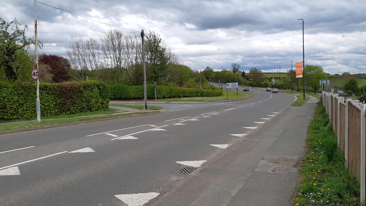
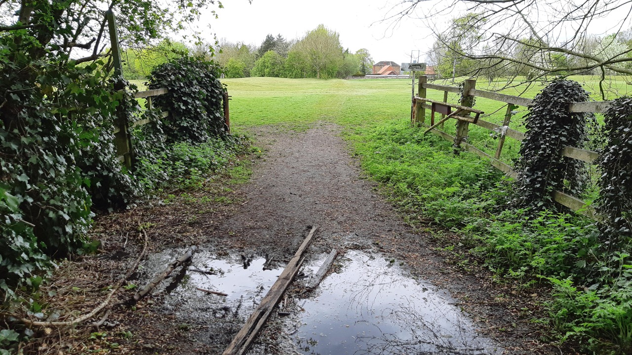
I made a slight mistake here, following the hedges too far right, and only realised the error when I couldn't see a way into the wood. There were plenty of other footprints here, so I clearly wasn't the first, but perhaps the line is clearer when there is no snow. We pass the farm and cross a small lane. The path out to the A617 is rather more direct than the right of way line (I suspect there were more field boundaries when that was drawn), but until the last field it is fairly visible on the ground, if rather wet and muddy. The last field is worse when wet, sticky clay, and we have to go most of the way round it to get to the steps that lead up to the road bridge.
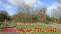
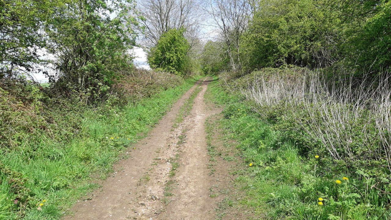
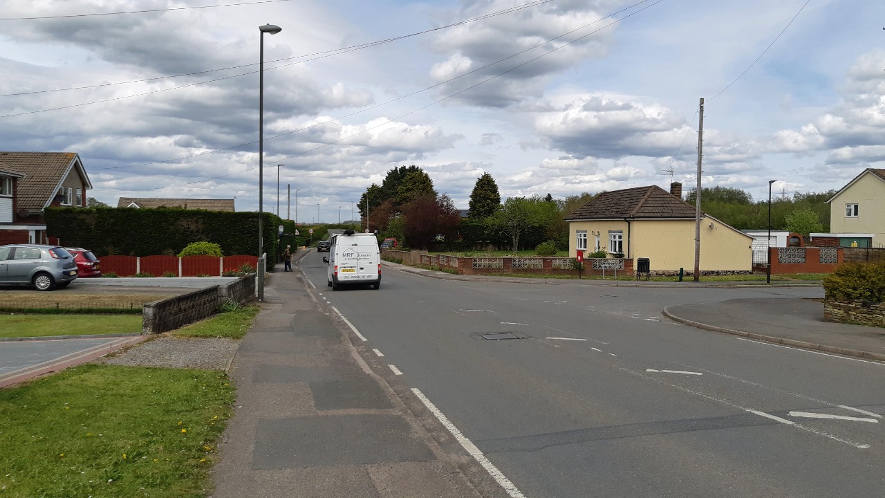
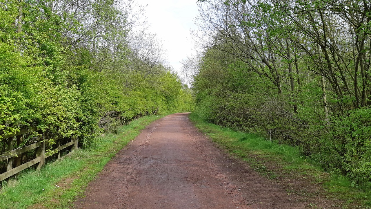
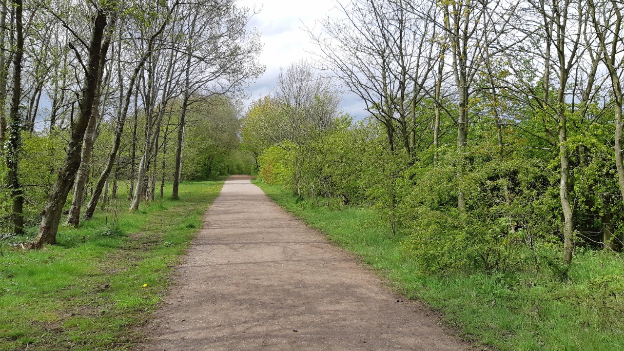
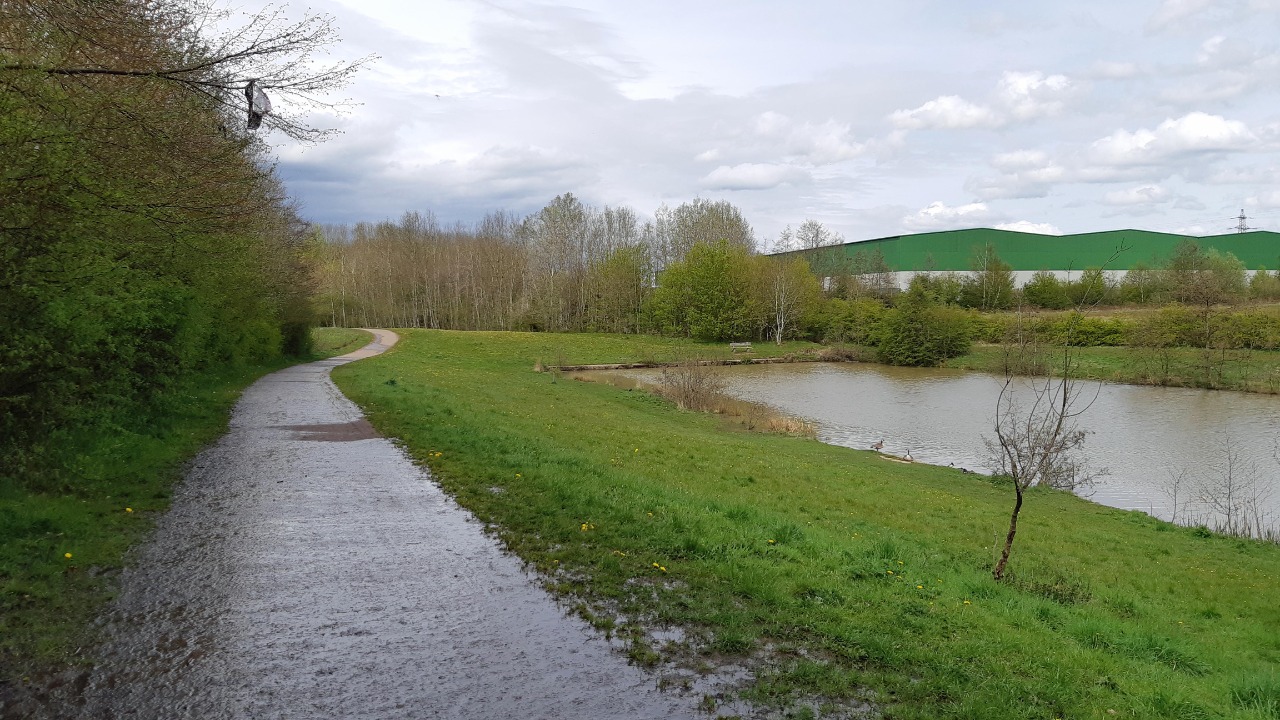
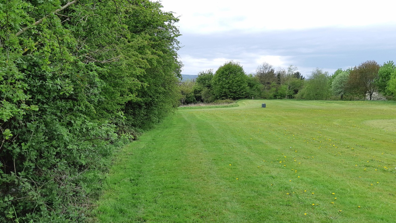
We cross the bridge and follow the farm lane and turn left onto Mansfield Road, which has a good pavement on the left/north side. Eventually the road turns left and we cross and go straight on into the Grassmoor Country park, where we join the Five Pits Trail, initially on a wide tarmacked track. We follow this past the lake and most of the way to the lake, then we stay on the Five Pits trail which stays right of the road and crosses under it. We follow the track (now a rougher surface) out to a junction where we turn sharp right (the corner can be cut slightly on an obvious path). The track east can get quite wet, but leads us easily to Chesterfield Road.
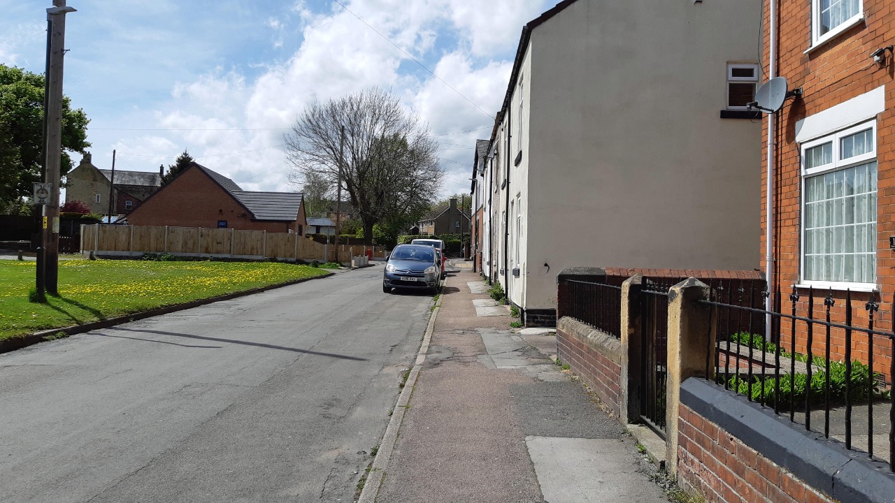
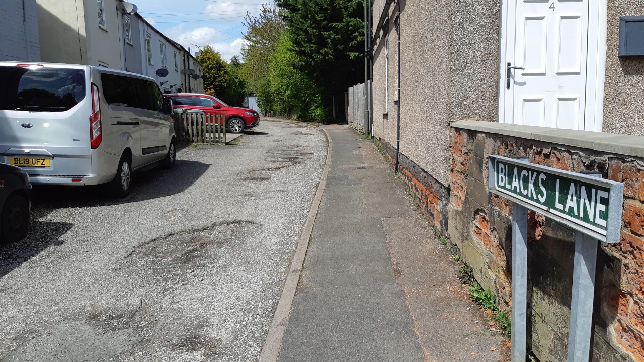
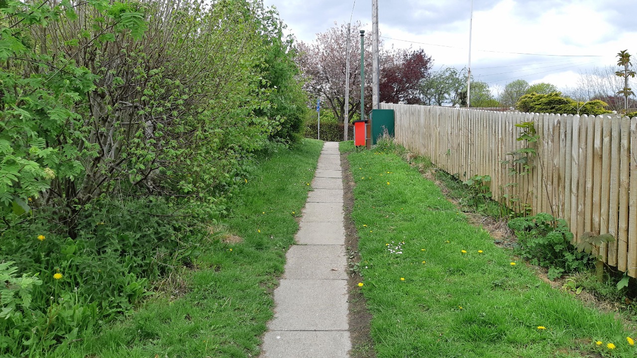
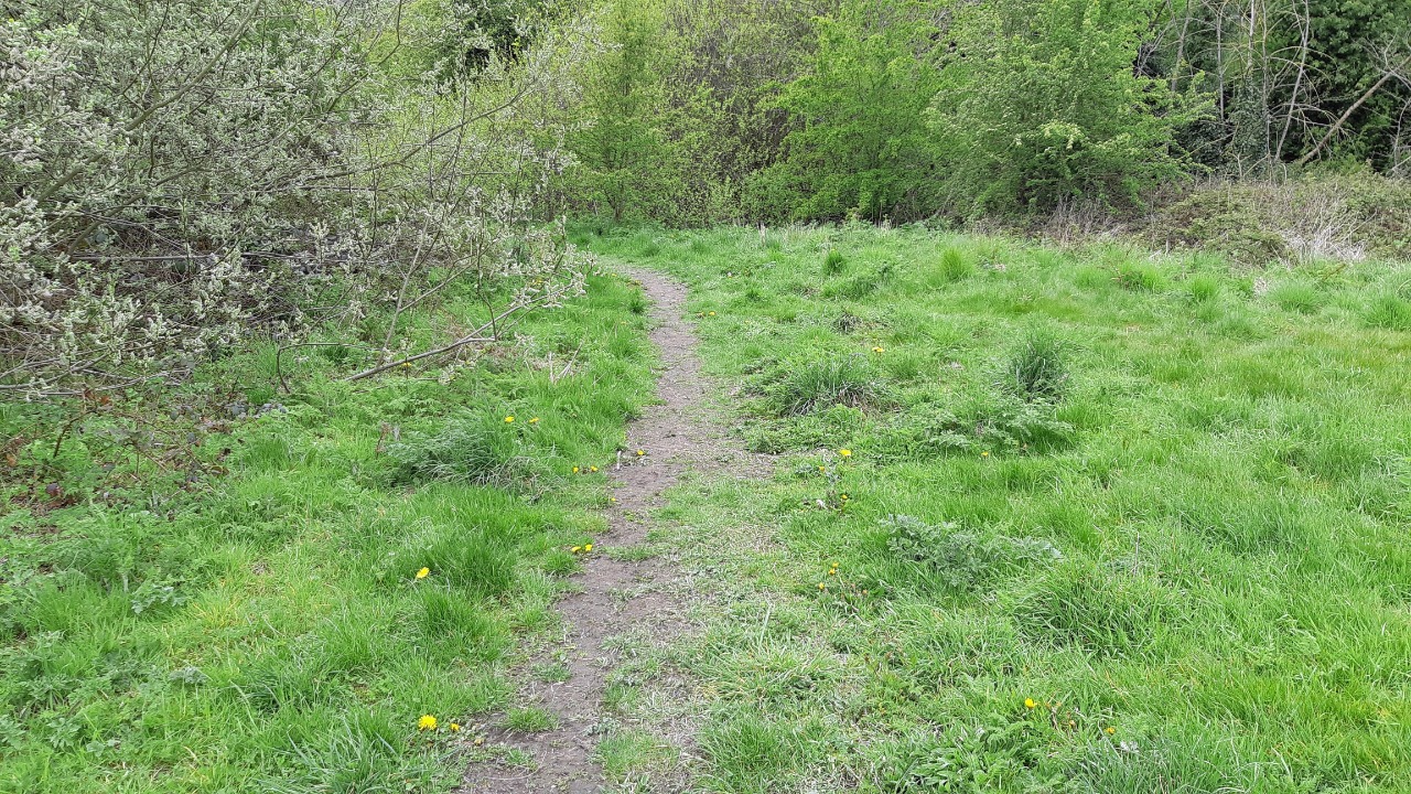
We cross and go left a short distance, then right onto Deincourt Crescent and through an alleyway right onto a good track. The sting in the tail is the "path" left into North Wingfield - there are a number of trodden paths but the better ones are the ones furthest from the right of way line! Eventually you should find a way onto the muddy field that takes you to the houses on Torrani Way, where we take the path left, then turn right onto Blacks Lane and left onto Draycott Lane to reach the North Wingfield meeting point.at The Green.
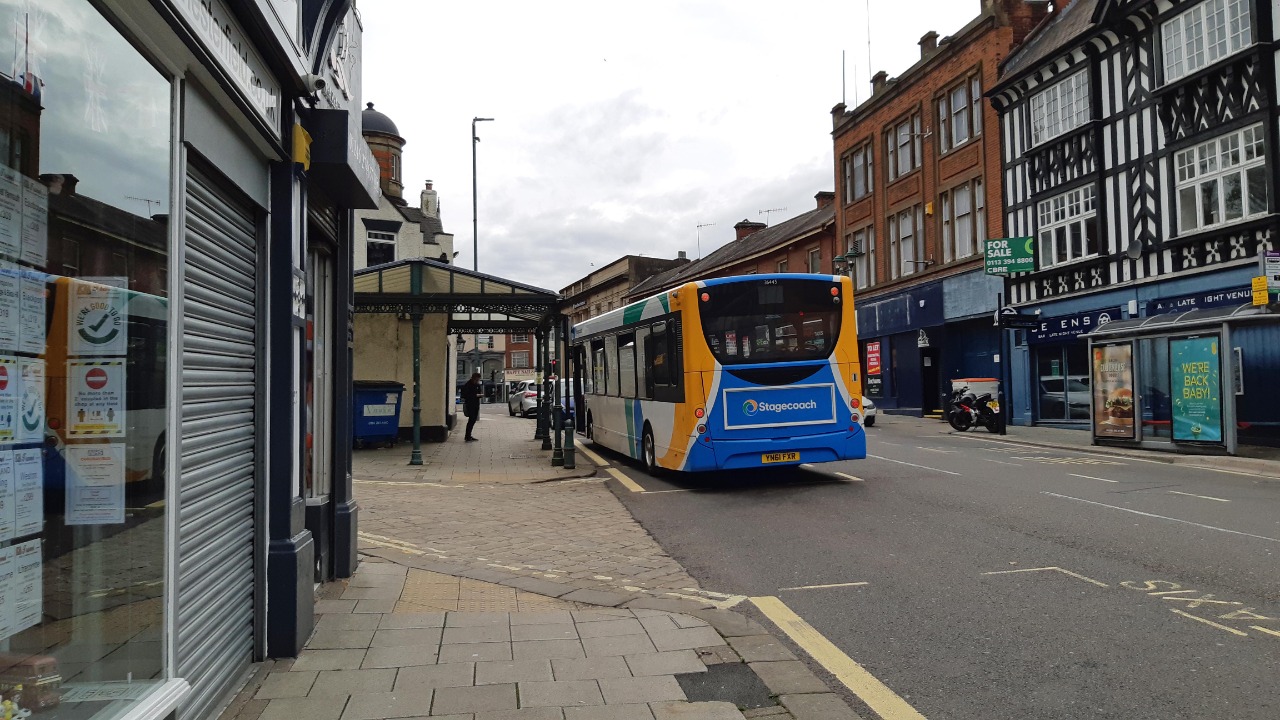
No facilities en route but there are plenty at either end.
-
Share your thoughts
Ken
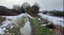
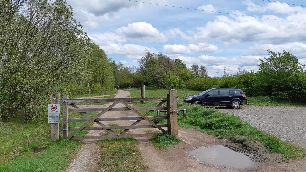
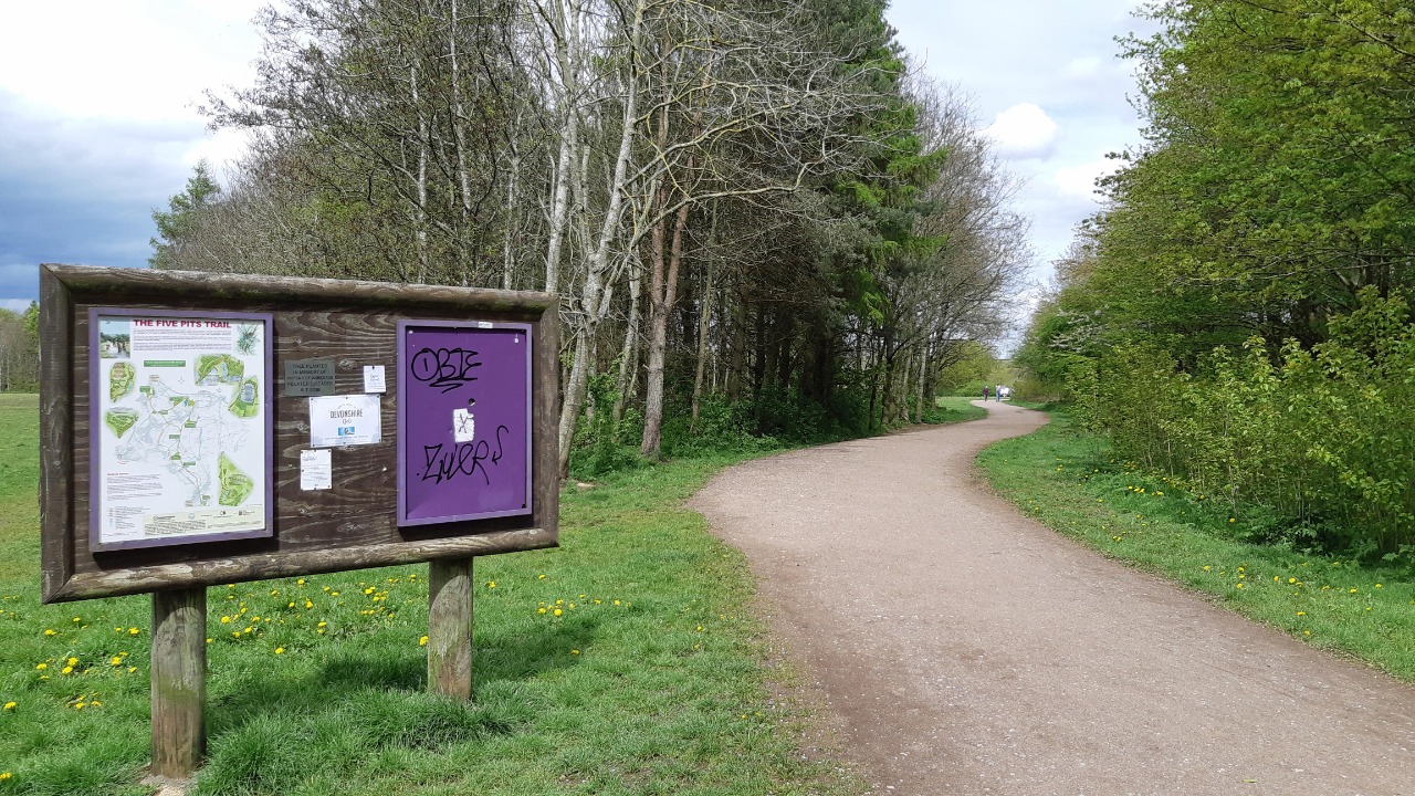
25 Feb 2022Walked North Wingfield to Chesterfield after much rain. This route exits North Wingfield along the same paths as Clanor2 and hence has the same issue, the path is not easy to locate across the field and through the woodland. Locals clearly find a way perhaps across the sports field, this difficulty offers a very poor start heading north. Turning north east along the old rail line things improve, then get even better along the Five Pits Trail to Grassmoor Country Park.
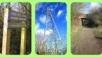
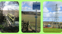
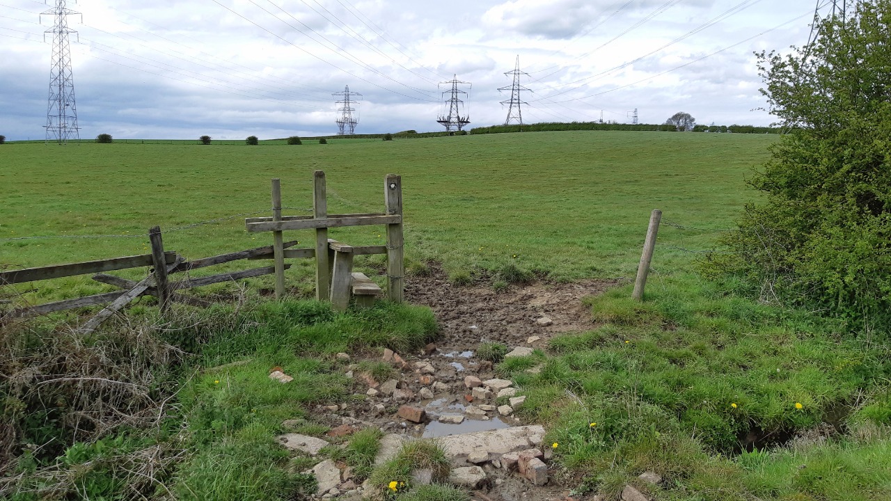
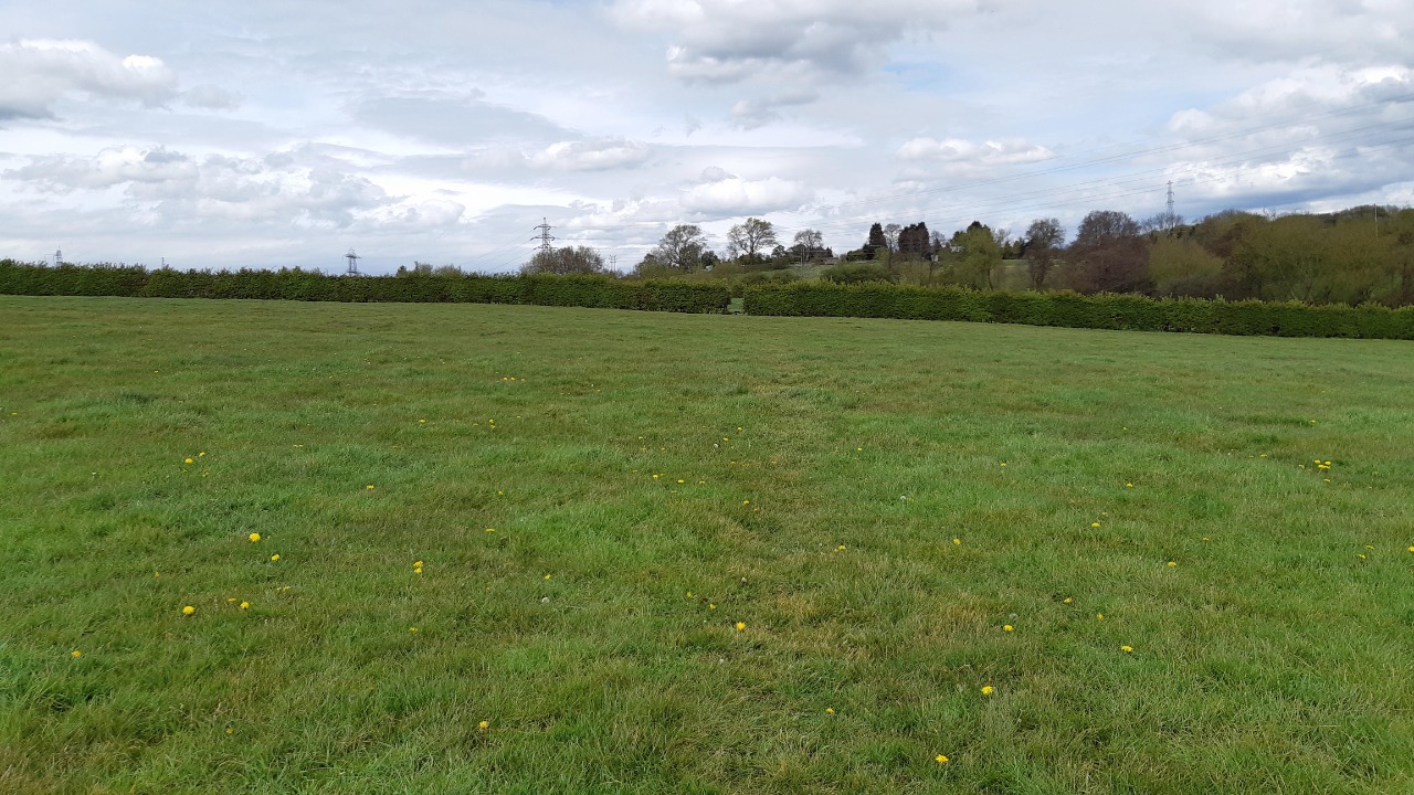
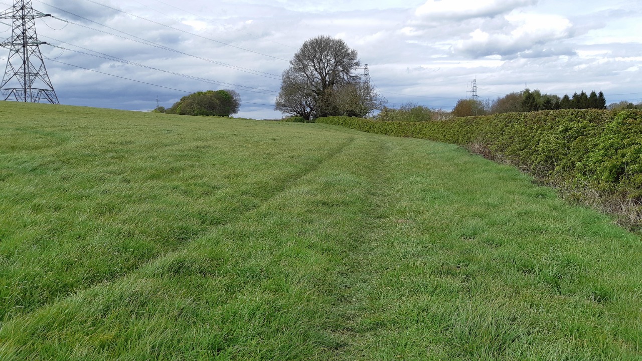
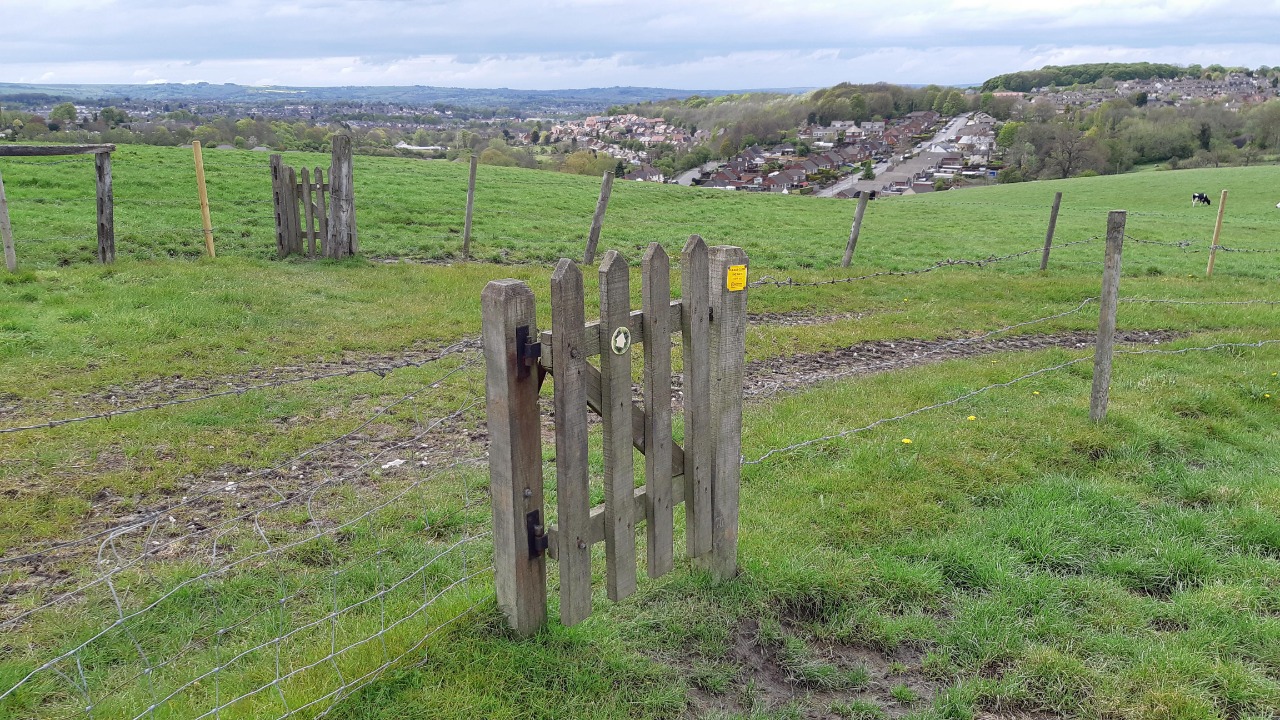
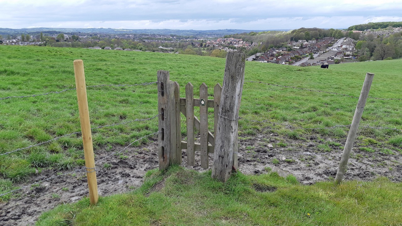
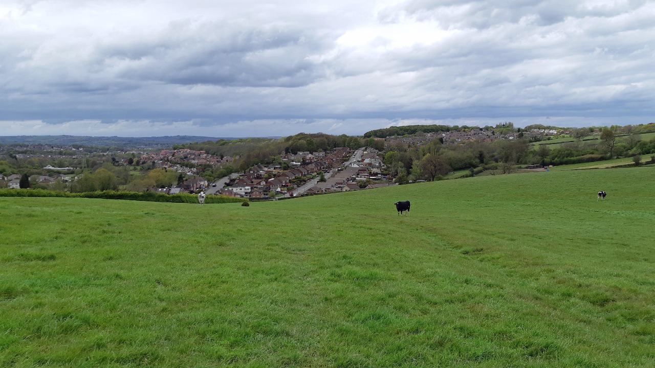
The cycle route and Five Pits Trail appears to end on reaching Mansfield Road where a pavement allows some protection from traffic. Leaving the road was good but I felt the route was going in the wrong direction around the edge of ploughed fields on slippery mud. Things did improve with grass fields and decent views. Lots of electricity pylons and a massive distribution centre and a strange message from National Grid on the footpath.
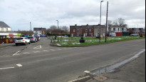
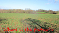
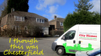
The route was determined to stay off the busy roads, taking me on a tour of some interesting prefabricated houses, then close to the hospital and I joined Crebol which I'd walked recently. An interesting walk but not one I would repeat it was a tour rather than a true Slow Way. No services on route at Grassmoor. PS it misses the snail on the approach to Chesterfield station. Jamie's pictures are good and show the field paths in far better condition than I found them, due no doubt to the better season.
-
Share your thoughts
Jamie M
13 May 2021I used this route to walk from North Wingfield to Chesterfield on 9 May 2021. The first section of the route, much of it on wide and well surfaced tracks, is very different in character to the later part across fields and grazing land. Unfortunately these sections are separated by an unattractive stretch alongside a busy road. Overall I found it an enjoyable and well thought out route that I would happily use again in spite of some unavoidable traffic and grazing issues.
Positives:
Interesting and varied route, with some good views.
Little mud, in spite of heavy rain the previous day.
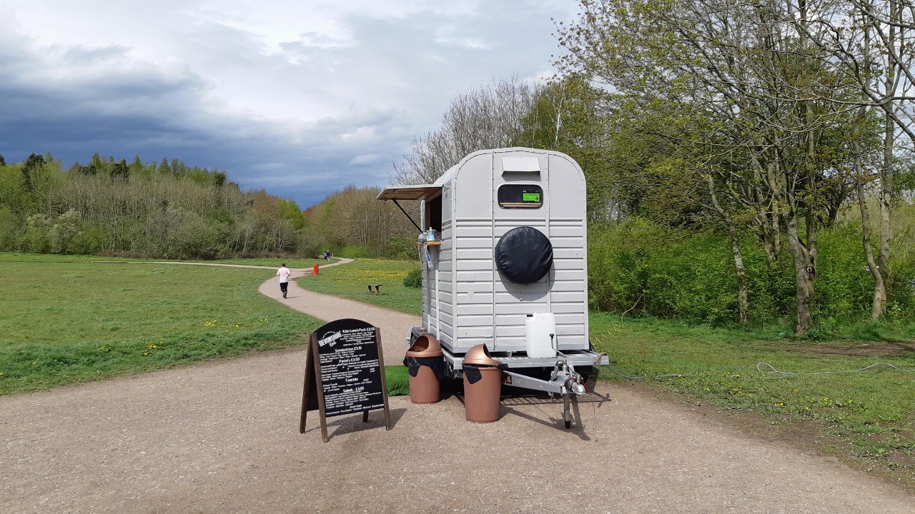
Mobile refreshment kiosk at Grassmoor Country Park about a third of the way along - I am unsure of its hours, but it was open Sunday afternoon.
Negatives:
Significant stretch on pavement alongside a busy road.
Passes through fields with grazing cattle.
No other facilities en route if the refreshment kiosk is closed.
Observations:
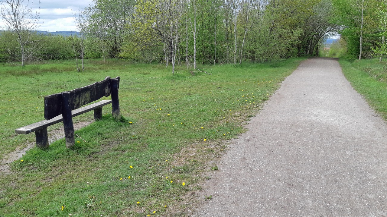
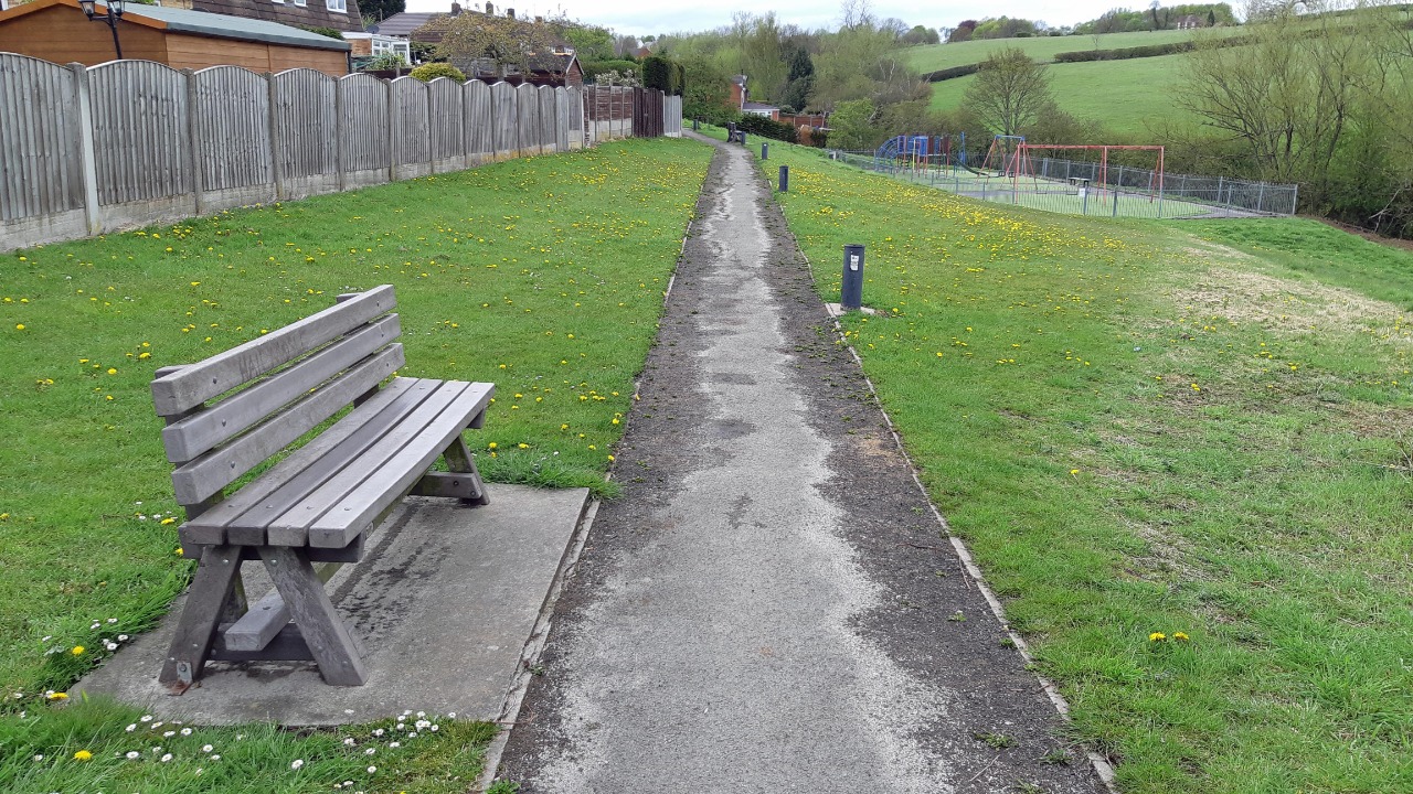
Occasional benches and other places to sit throughout the route.
Some long gradients, but nothing very steep.
Restrictions:
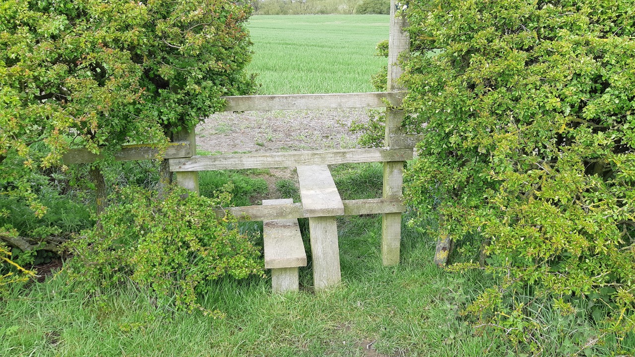
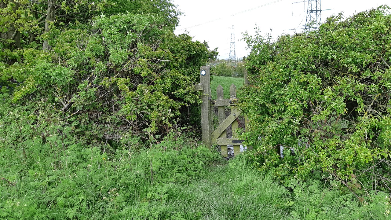
Steps: 2 flights, one of about 20 and one of 6.
Stiles: 3, all small.
Gates: 9
Width Restrictors: None.
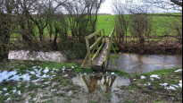
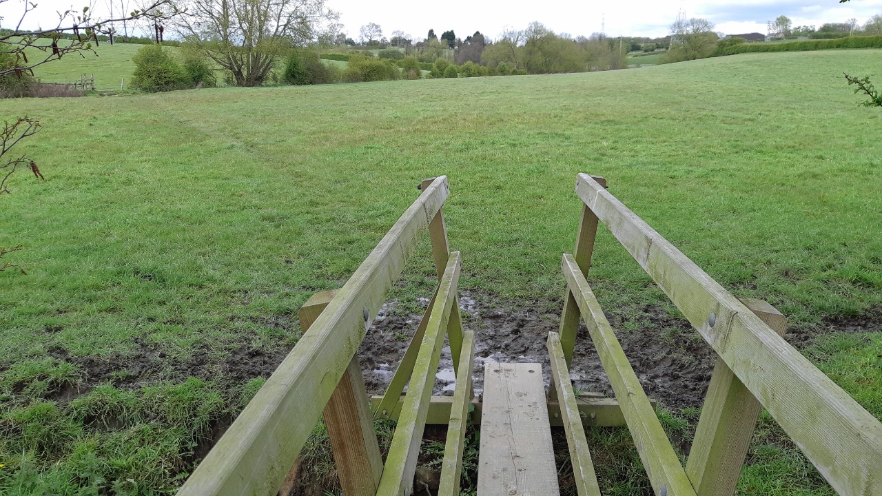
Narrow footbridges: 1
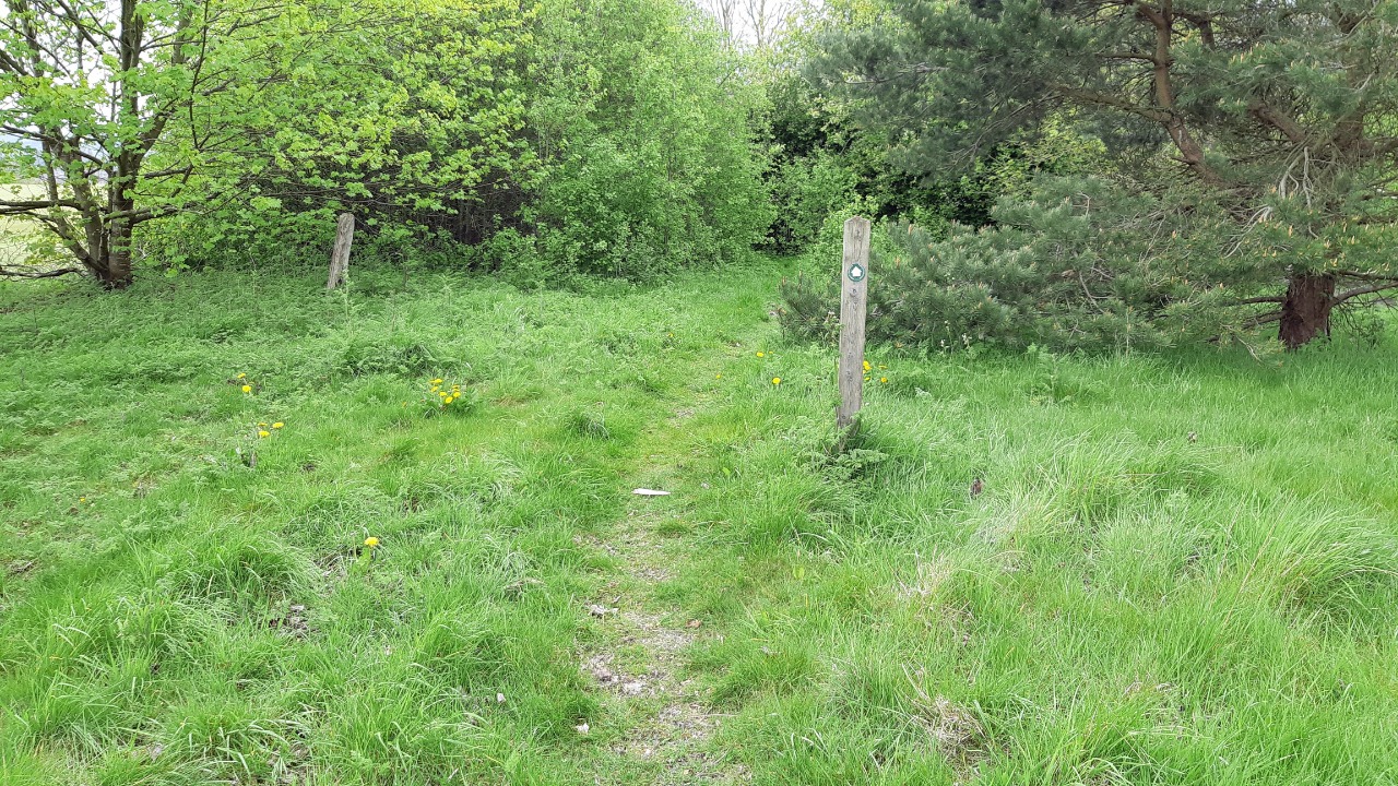
The route starts at the triangular green in North Wingfield, which has a shop alongside and pubs and other facilities nearby. It follows quiet back streets to reach the edge of the village. It then crosses a field, but at the time of my walk the entry and exit points were clear but the path between had not become re-established after planting. There was an immediately obvious alternative along the edge of the adjacent playing field.
The route then turns gently uphill on a long straight footpath which was once a railway. After crossing a main road this meets The Five Pits Trail, another former railway and now a busy walking and cycle trail, with easy walking on an excellent surface. The trail continues through Grassmoor Country Park, once a colliery site, where a mobile refreshment kiosk was open during my walk. The route then joins the busy Mansfield Road, a monotonous stretch on a good pavement, before turning to cross a bridge over the A617 dual carriageway. There is a steep flight of steps down from the bridge after which the character of the walk changes.
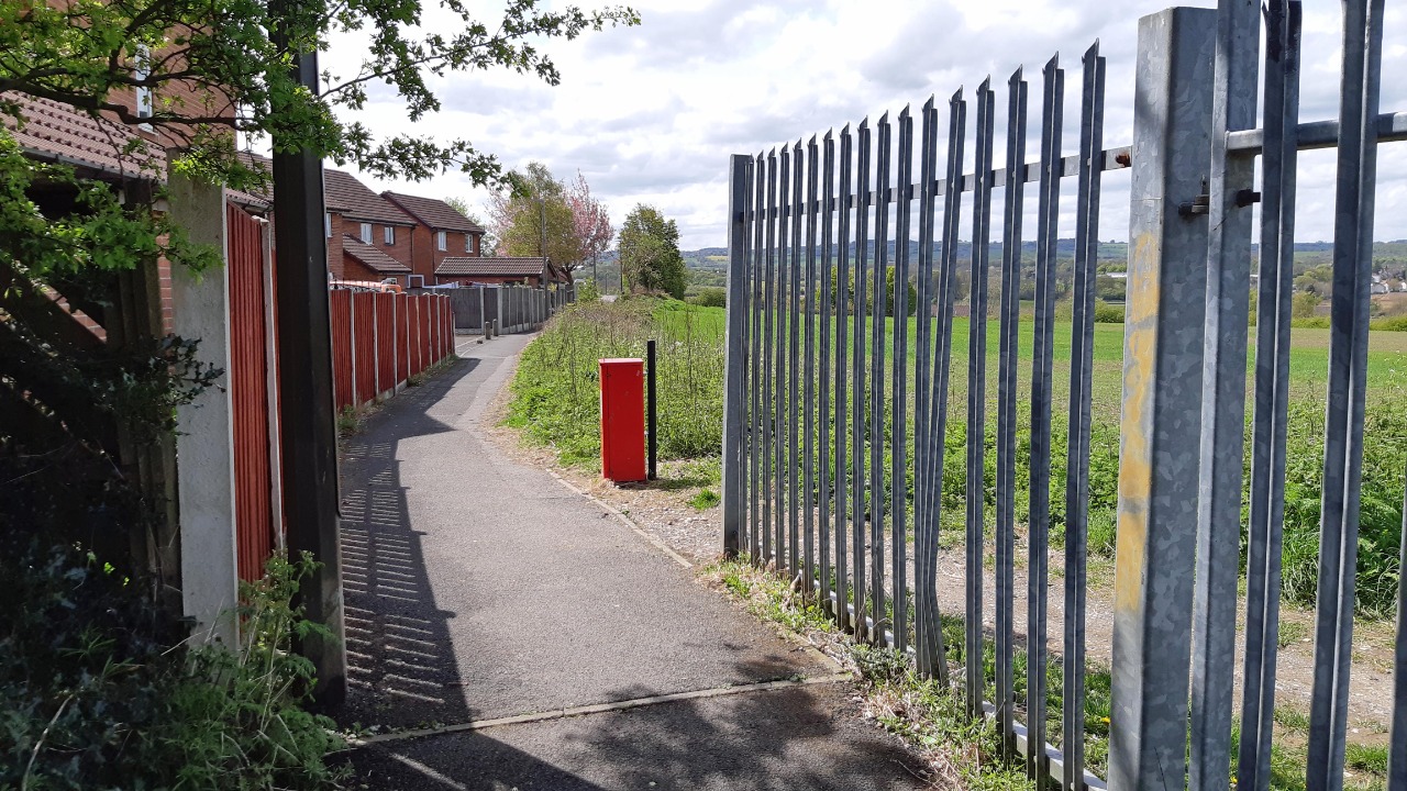
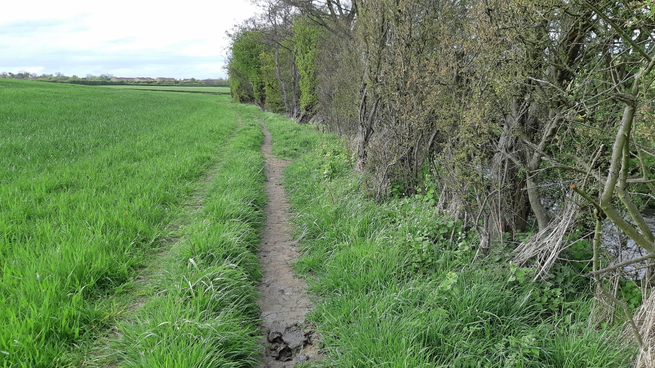
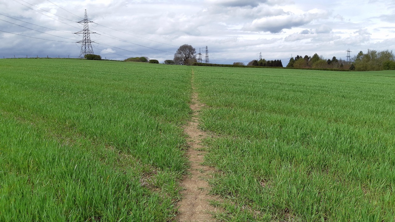
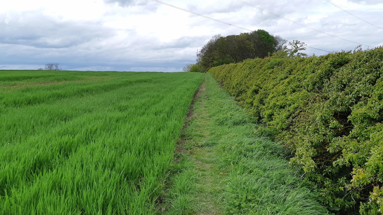
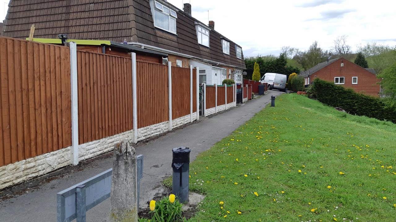
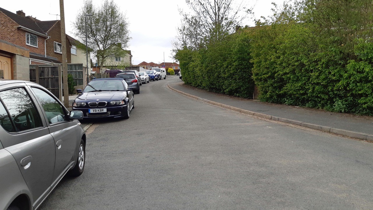
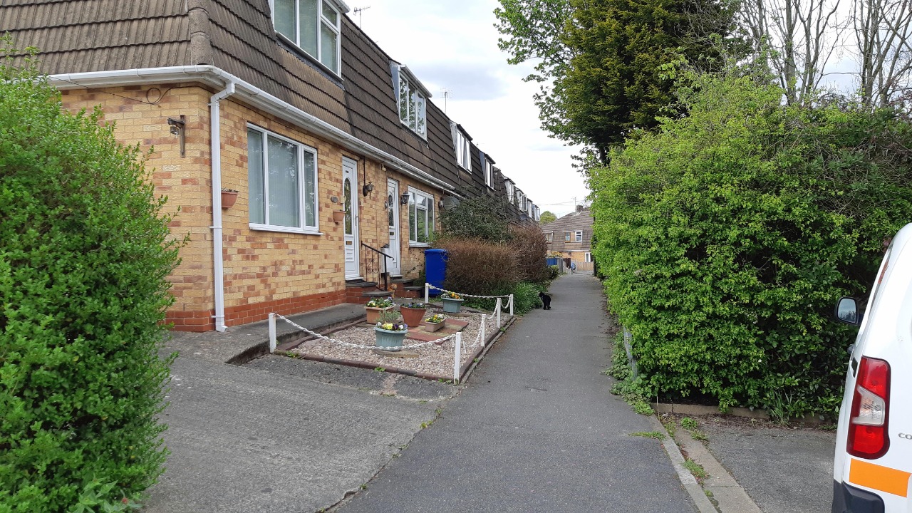
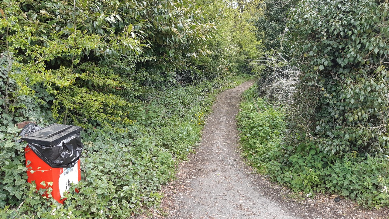
It continues on narrow paths across and along the edge of fields, soon losing the noise from the A617. This seemed the least used part of the route, but the paths were clear, waymarked, and mostly free of mud. Three fields contained small numbers of cattle, which paid me little attention. The route eventually drops down to Calow Lane, where there is a very short section of road walking with no verge or refuge. It then follows a byway and a short section of old railway before zigzagging around and through a small housing estate where benches are available for a break.
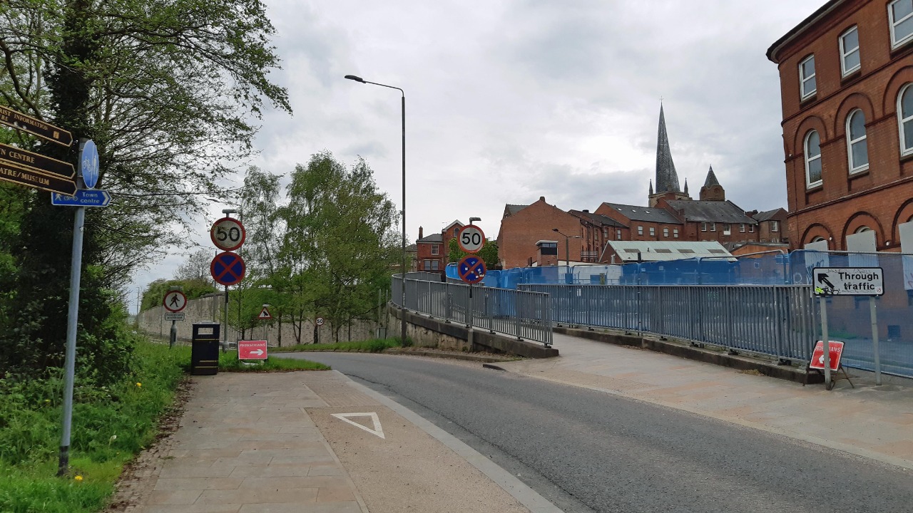
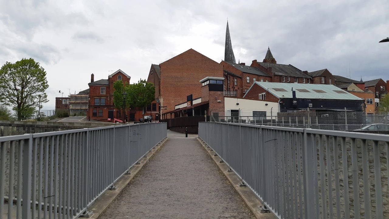
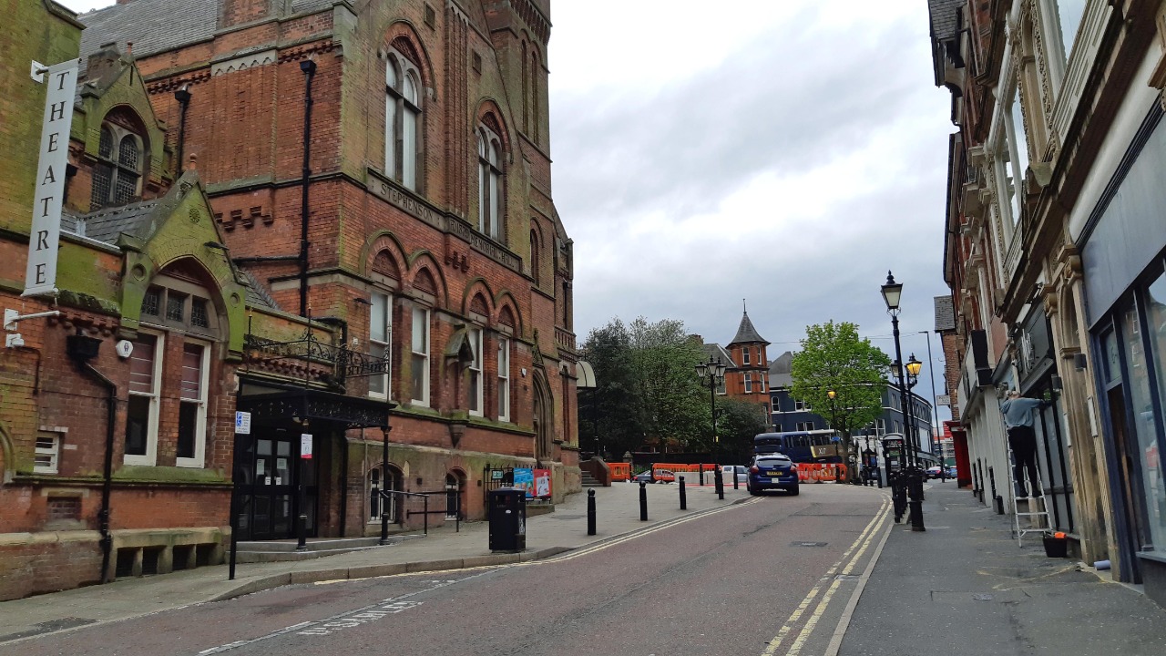
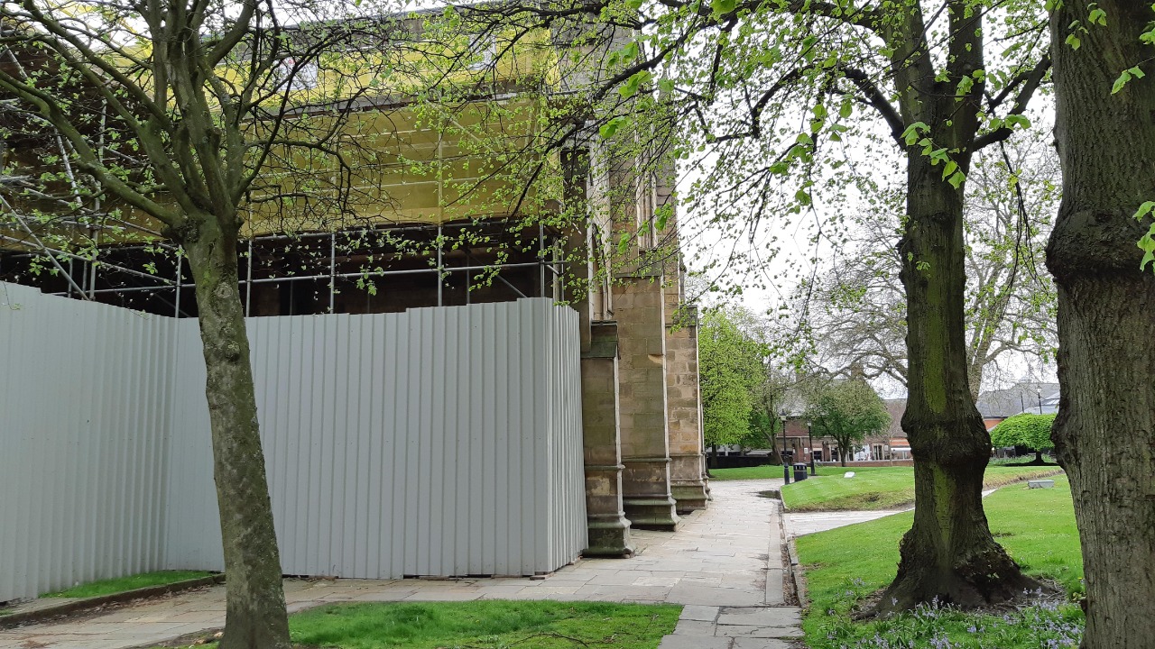
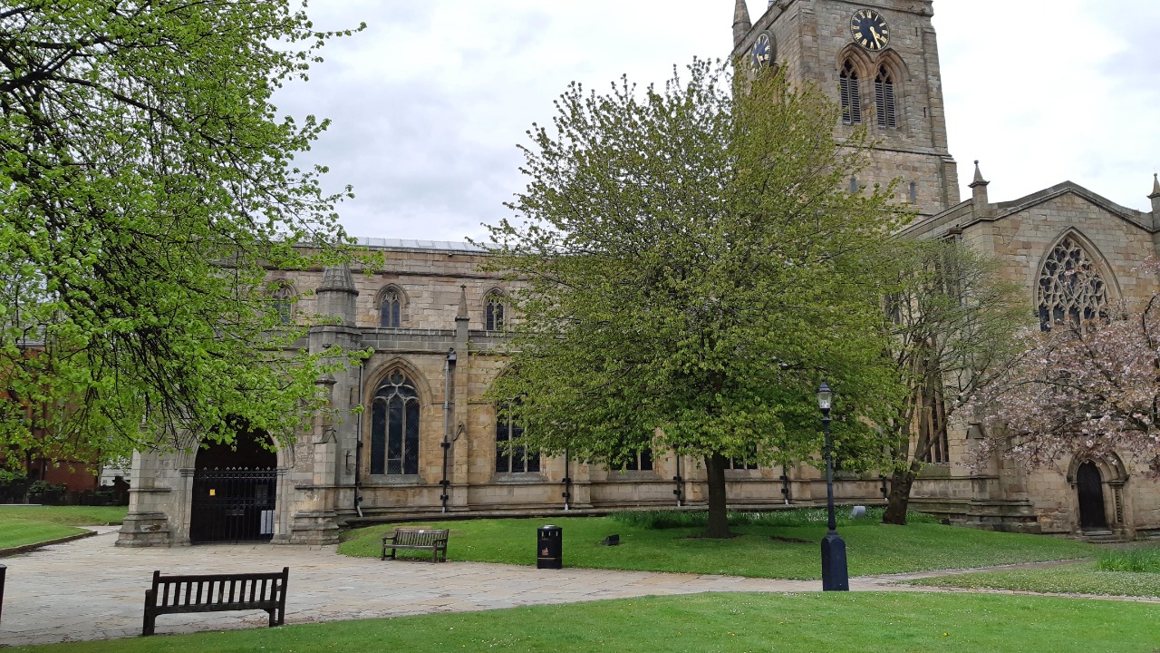
After crossing another main road the route briefly enters the grounds of the Royal Hospital before following a wide grassy path behind houses. It then crosses a golf course where the route is complicated but well waymarked, before dropping down into Chesterfield. This would be a significant climb in the other direction. After a short stretch on roadside pavements it passes Chesterfield railway station before crossing a footbridge over the A61 and continuing uphill to end alongside the crooked spire church.
-
Share your thoughts
Share your views about this route, give it a star rating, indicate whether it should be verified or not.
Include information that will be useful to others considering to walk or wheel it.
You can add up to 15 photos.
There are no other routes for Chesterfield — North Wingfield
If you know a better way, then please let us know.
Review this better route and help establish a trusted network of walking routes.
Suggest a better route if it better meets our methodology.
Share your thoughts