Description
Beclow One has a couple of issues in that the route doesn't track well to a map. Additionally it seems to follow (but shifted) a number of civil parish boundaries rather than footpaths. This alternative walks between Beccles and Oulton Broad on the established Angles Way and then crosses through to Lowestoft on local paths and residential roads. It could be made a little shorter by crossing east through Beccles and taking marsh road after Worlingham to meet the Angles Way
Beclow One has a couple of issues in that the route doesn't track well to a map. Additionally it seems to follow (but shifted) a number of civil parish boundaries rather than footpaths. This alternative walks between Beccles and Oulton Broad on the established Angles Way and then crosses through to Lowestoft on local paths and residential roads. It could be made a little shorter by crossing east through Beccles and taking marsh road after Worlingham to meet the Angles Way
Status
This route has been reviewed by 1 person.
There are no issues flagged.
Photos for Beclow two


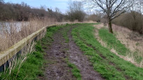

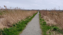
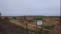
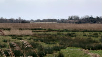
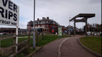
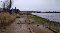
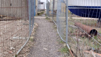

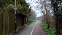
Photos of this route will appear when they are added to a review. You can review this route here.
Information

Route status - Live
Reviews - 1
Average rating -
Is this route good enough? - Yes (1)
There are currently no problems reported with this route.
Downloads - 1
Surveys
We are working to build-up a picture of what routes look like. To do that we are asking volunteers to survey routes so that we can communicate features, obstacles and challenges that may make a route desirable or not.
Slow Ways surveyors are asked to complete some basic online training, but they are not vetted. If you are dependent on the survey information being correct in order to complete a route, we recommend that you think critically about the information provided. You may also wish to wait until more than one survey has been completed.
Help people know more about this route by volunteering to submit a survey.
- Complete the survey training.
- Submit a survey for this route.
Geography information system (GIS) data
Total length
Maximum elevation
Minimum elevation
Start and end points
Beccles
Grid Ref
TM4222090329
Lat / Lon
52.45718° / 1.56382°
Easting / Northing
642,221E / 290,329N
What3Words
bypasses.ourselves.freed
Lowestoft
Grid Ref
TM5476692892
Lat / Lon
52.47447° / 1.75001°
Easting / Northing
654,766E / 292,892N
What3Words
issues.couple.report
| Beccles | |
|---|---|
| Grid Ref | TM4222090329 |
| Lat / Lon | 52.45718° / 1.56382° |
| Easting / Northing | 642,221E / 290,329N |
| What3Words | bypasses.ourselves.freed |
| Lowestoft | |
|---|---|
| Grid Ref | TM5476692892 |
| Lat / Lon | 52.47447° / 1.75001° |
| Easting / Northing | 654,766E / 292,892N |
| What3Words | issues.couple.report |
Sorry Land Cover data is not currently available for this route. Please check back later.
Other Routes for Beccles—Lowestoft See all Slow Ways
Review this better route and help establish a trusted network of walking routes.
Suggest a better route if it better meets our methodology.