
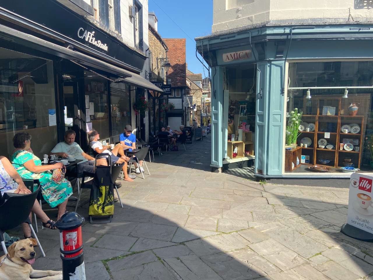
1. For this survey of Fromai one, I walked from Frome to Maiden Bradley. The route out of Frome begins with this pedestrianised market street. 0 km from start — 18 Jul 2021
2. The other end of the market street gets a bit tight and busy! 0.1 km from start — 18 Jul 2021
3. The path up to the steps isn't handicapped accessible. Kerb ramps aren't where they need to be, and it approaches a series of stairs in any event! 0.1 km from start — 18 Jul 2021

4. Five + Five + Four + Five steps up to the church courtyard 0.1 km from start — 18 Jul 2021

5. Church courtyard is a lovely paved path. 0.2 km from start — 18 Jul 2021
6. Ramp from church courtyard to pavement along road. 0.2 km from start — 18 Jul 2021
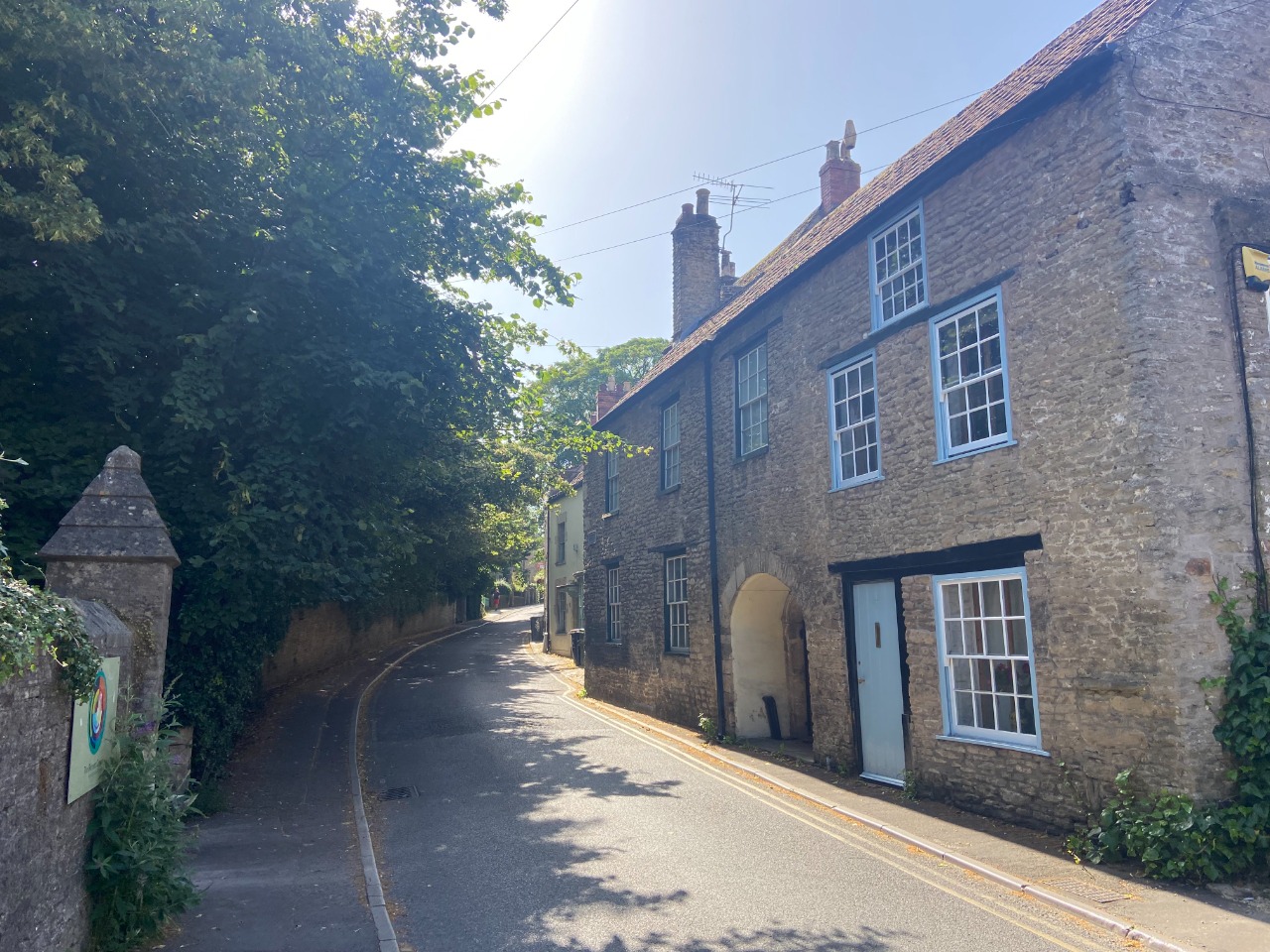
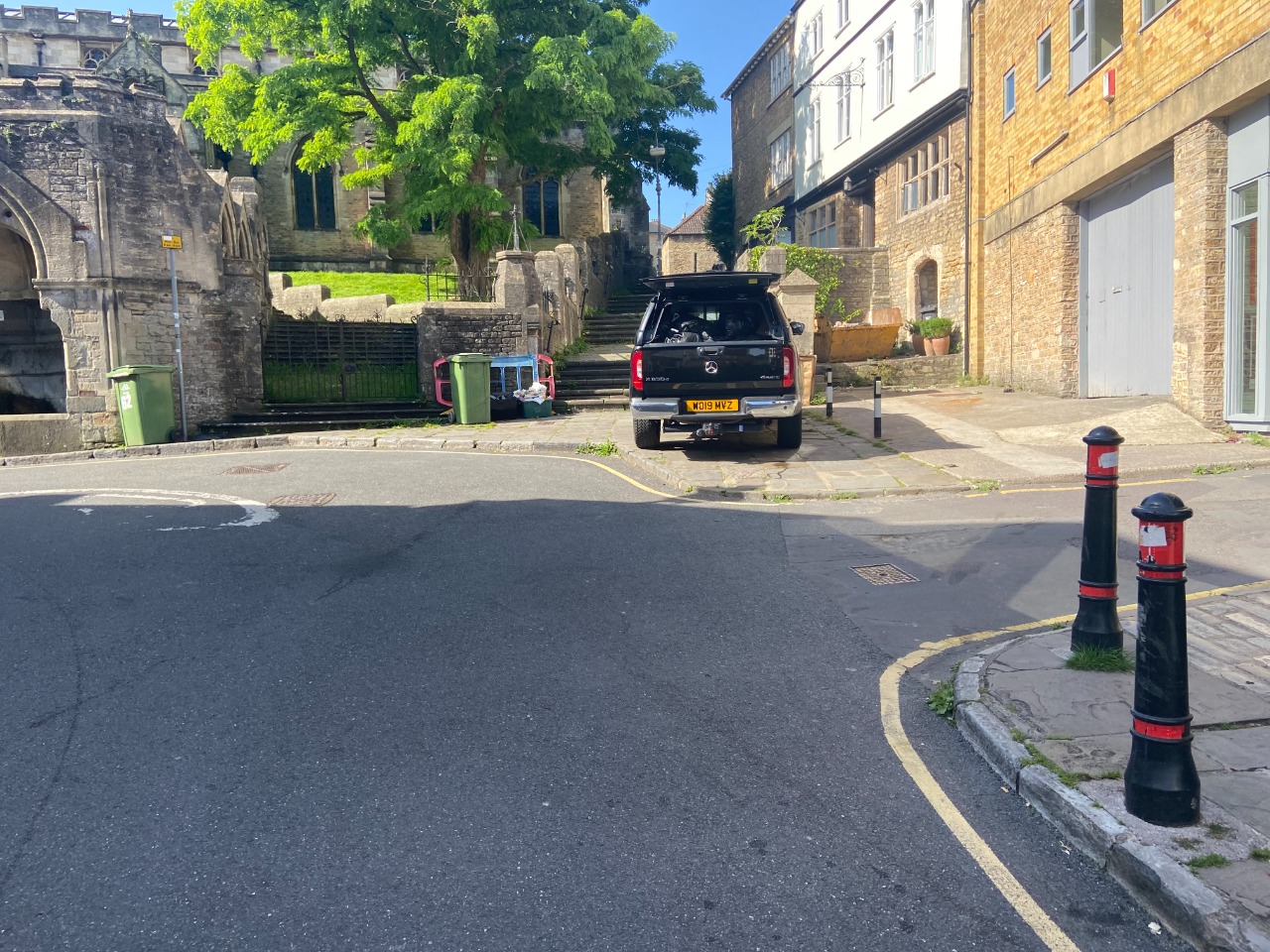
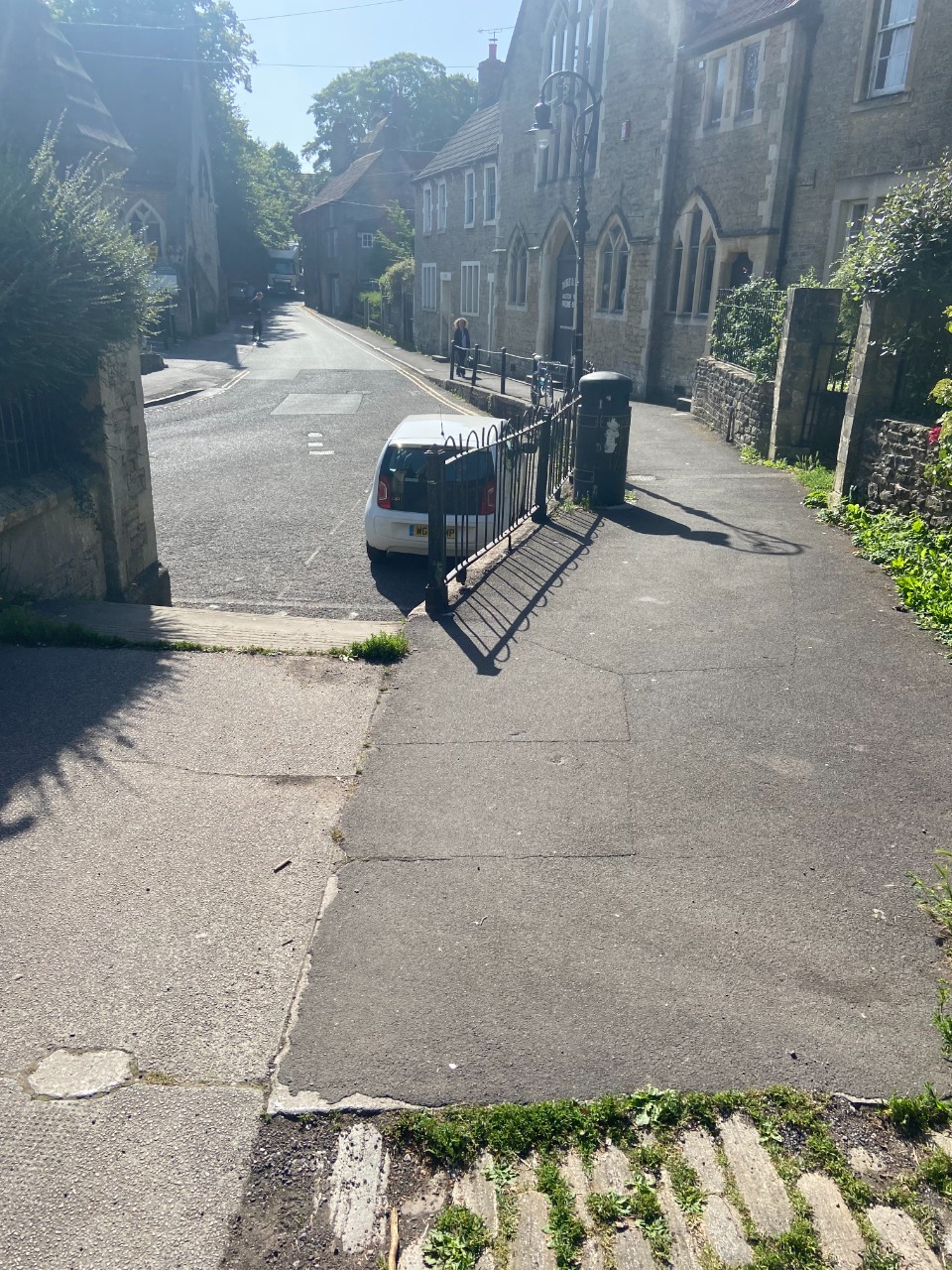
7. Relatively narrow pavement walking, but nice quiet road. 0.3 km from start — 18 Jul 2021
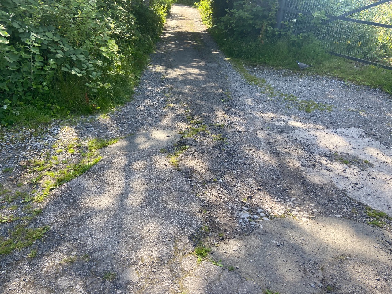
8. After following the pavement to where it turns towards Frome Station, there's a steep uphill to the station of road walking before following a quiet lane for a short stretch. Towards the end of the quiet lane, the road begins to crumble 1.3 km from start — 18 Jul 2021
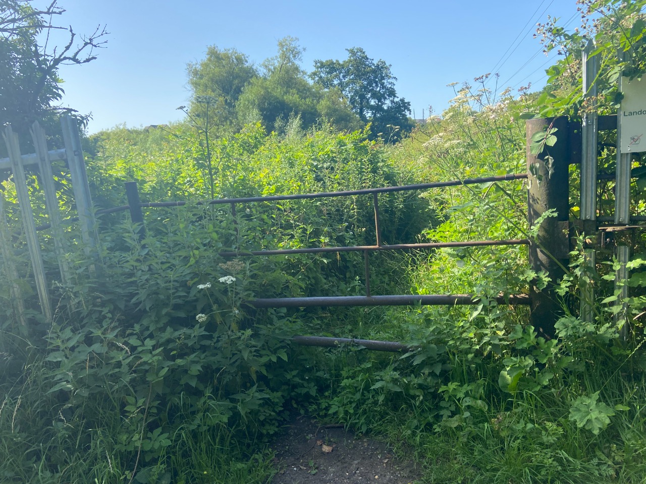
9. Pretty sure I had to climb over this gate! 1.3 km from start — 18 Jul 2021
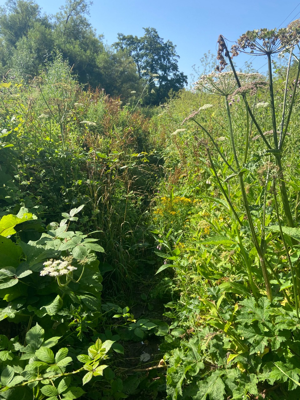
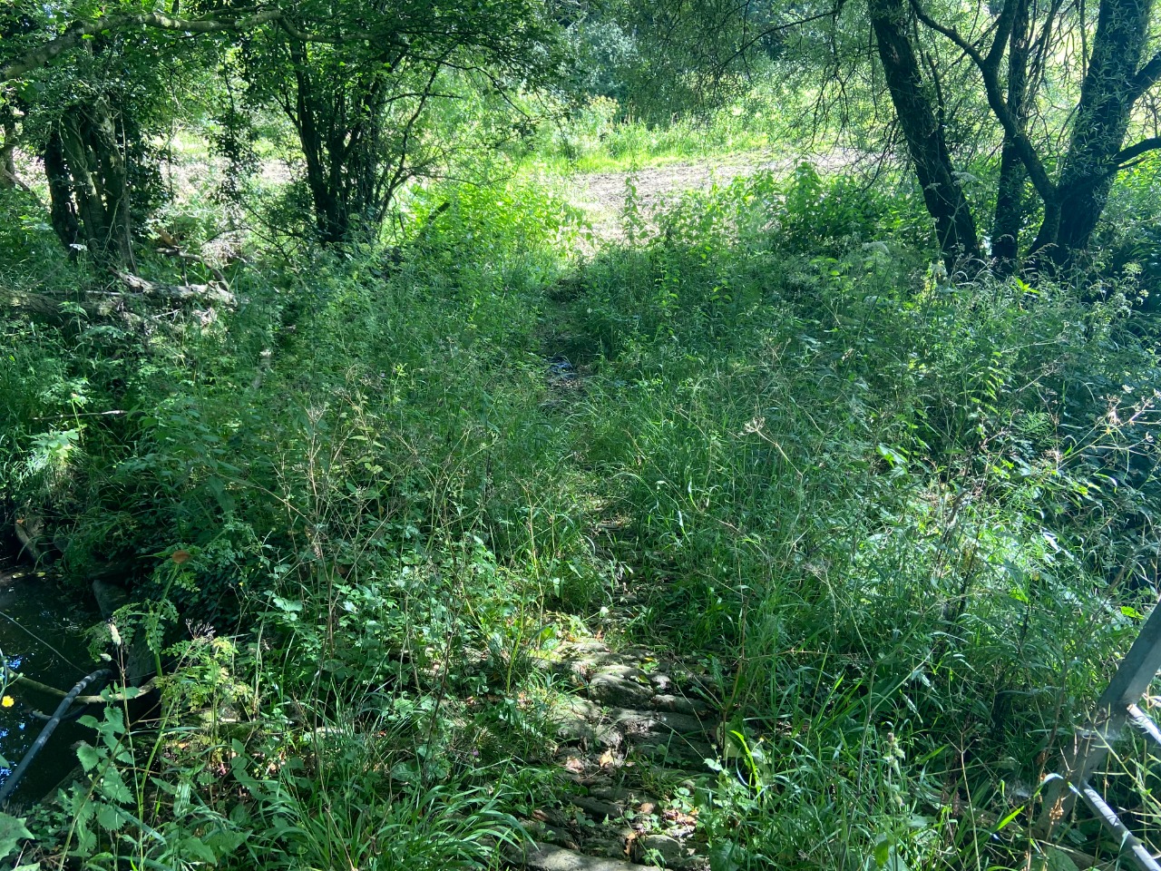
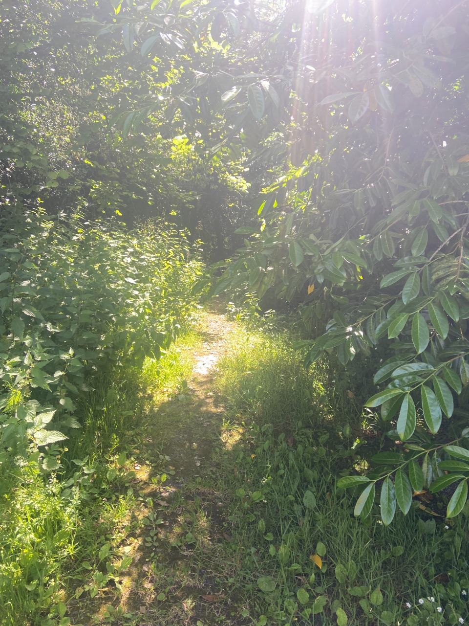
10. Path along the river was VERY overgrown and the plants STUNG like crazy. 1.4 km from start — 18 Jul 2021

11. Some low-hanging trees in the path, too. 1.8 km from start — 18 Jul 2021
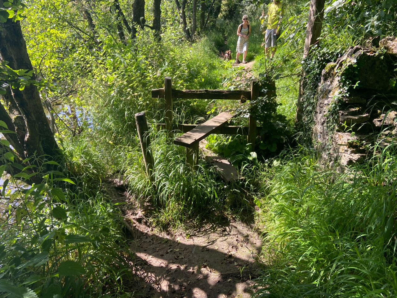
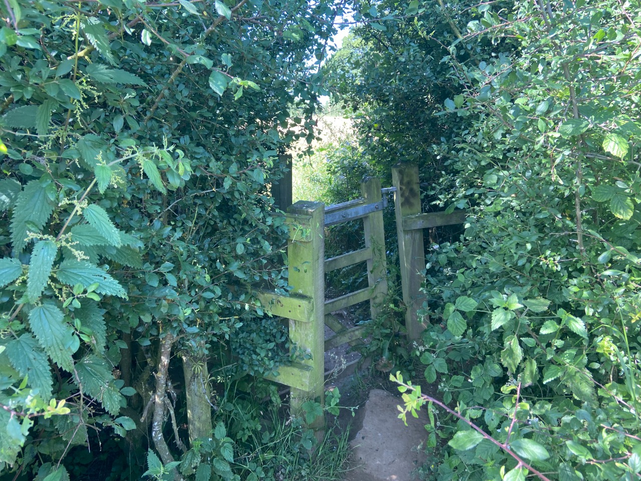
12. First stile, had a little space to go around and not over it. Either way, maneuvering is required! 1.9 km from start — 18 Jul 2021

13. The path approaching this next gate isn't perfectly plotted, but I found it not too hard to follow it in the end. 2.3 km from start — 18 Jul 2021
14. Path continues with really good quality clear walking to the road crossing (Feltham Lane) 2.4 km from start — 18 Jul 2021
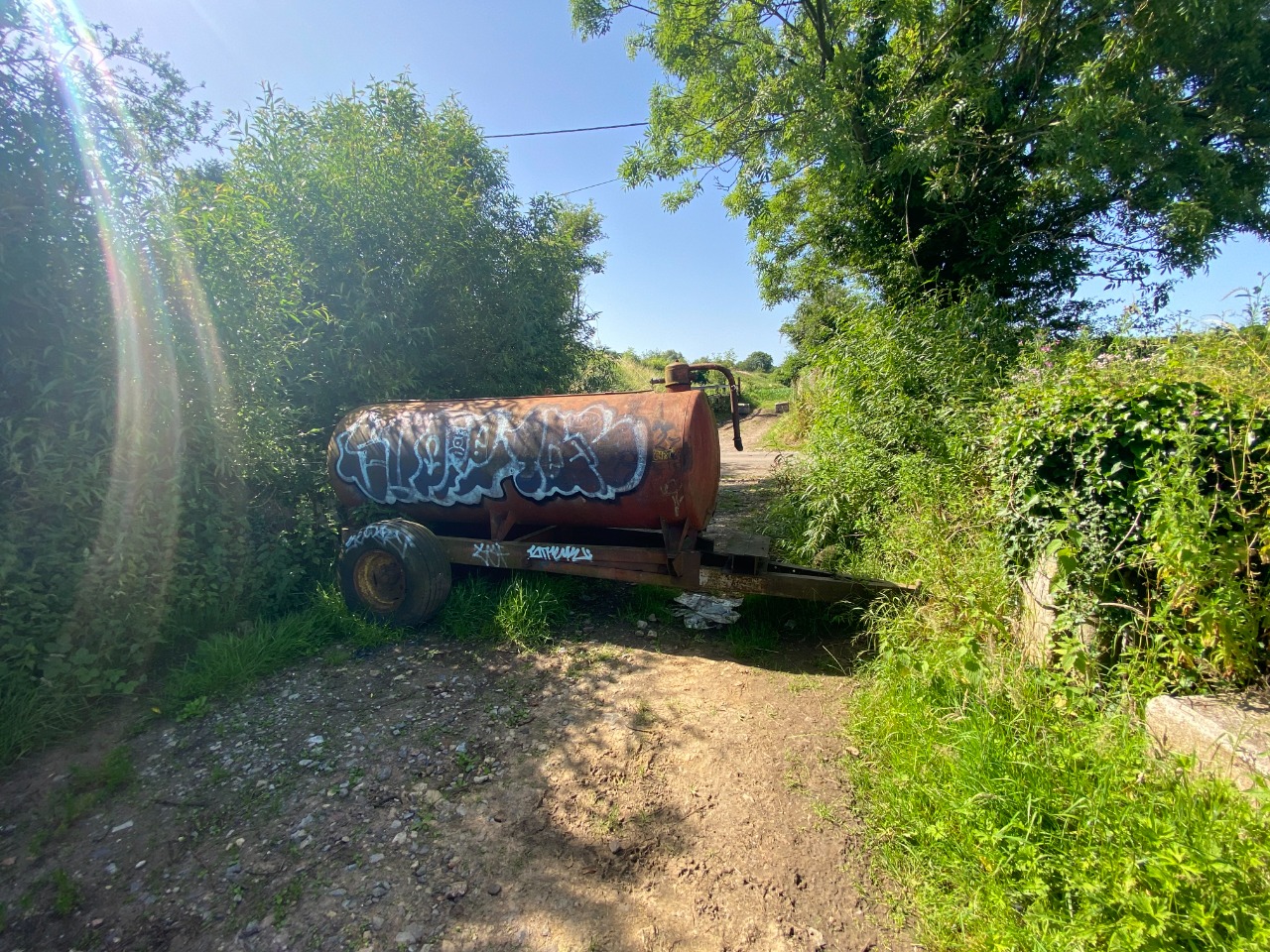
15. Have to navigate around this water tank at Feltham Lane. 2.8 km from start — 18 Jul 2021
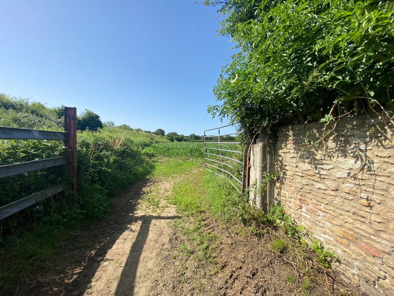
16. Open gate at the other side of Feltham Lane. 2.8 km from start — 18 Jul 2021
17. What follows is a series of probably three or four fields with paths through them separated by stiles. Example stile here. Probably five or six gates or stiles in total. 3 km from start — 18 Jul 2021
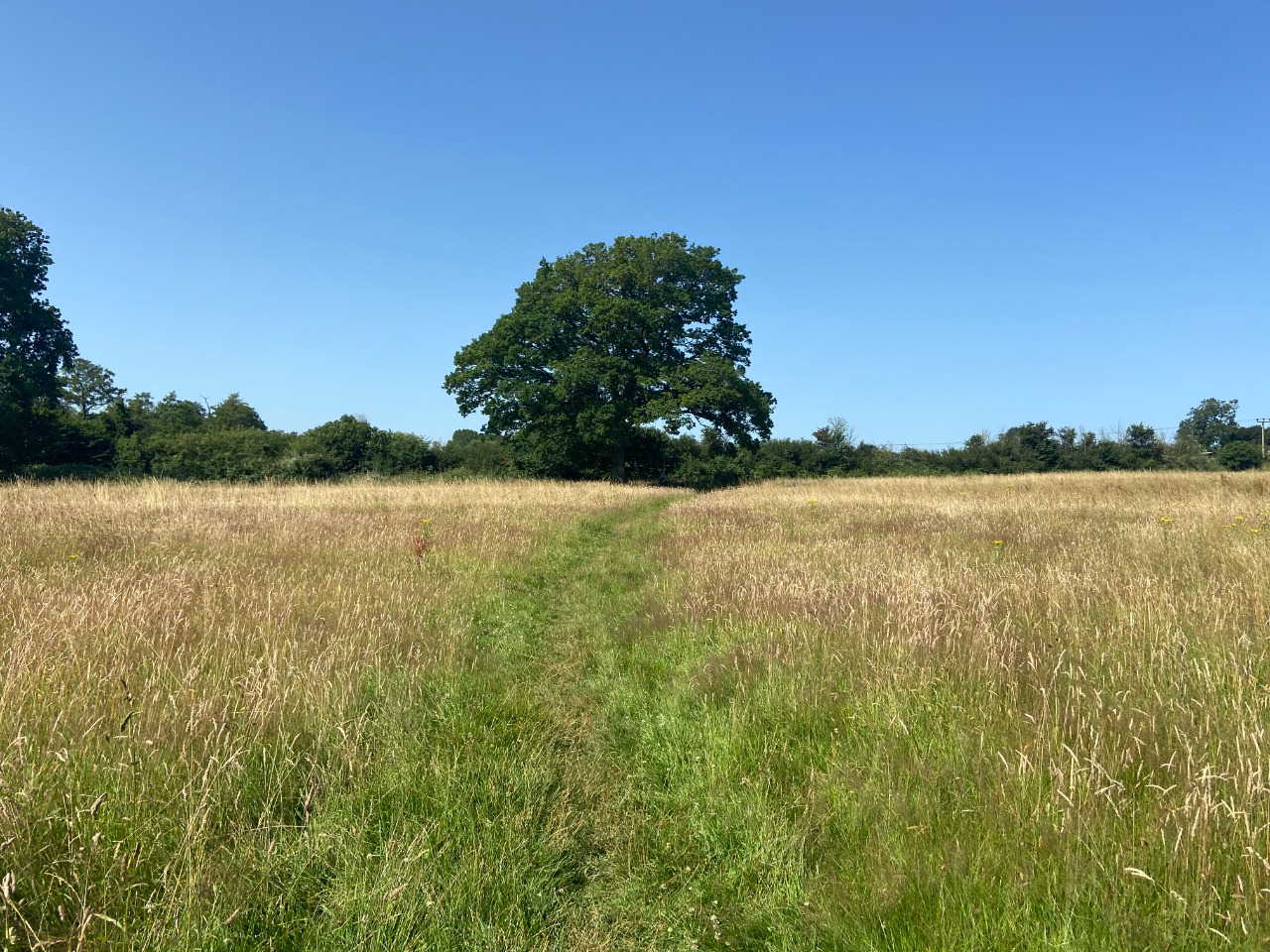
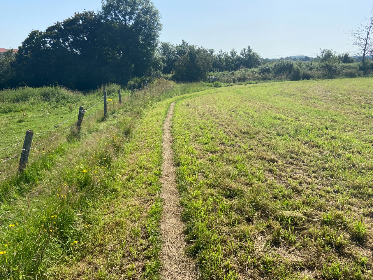
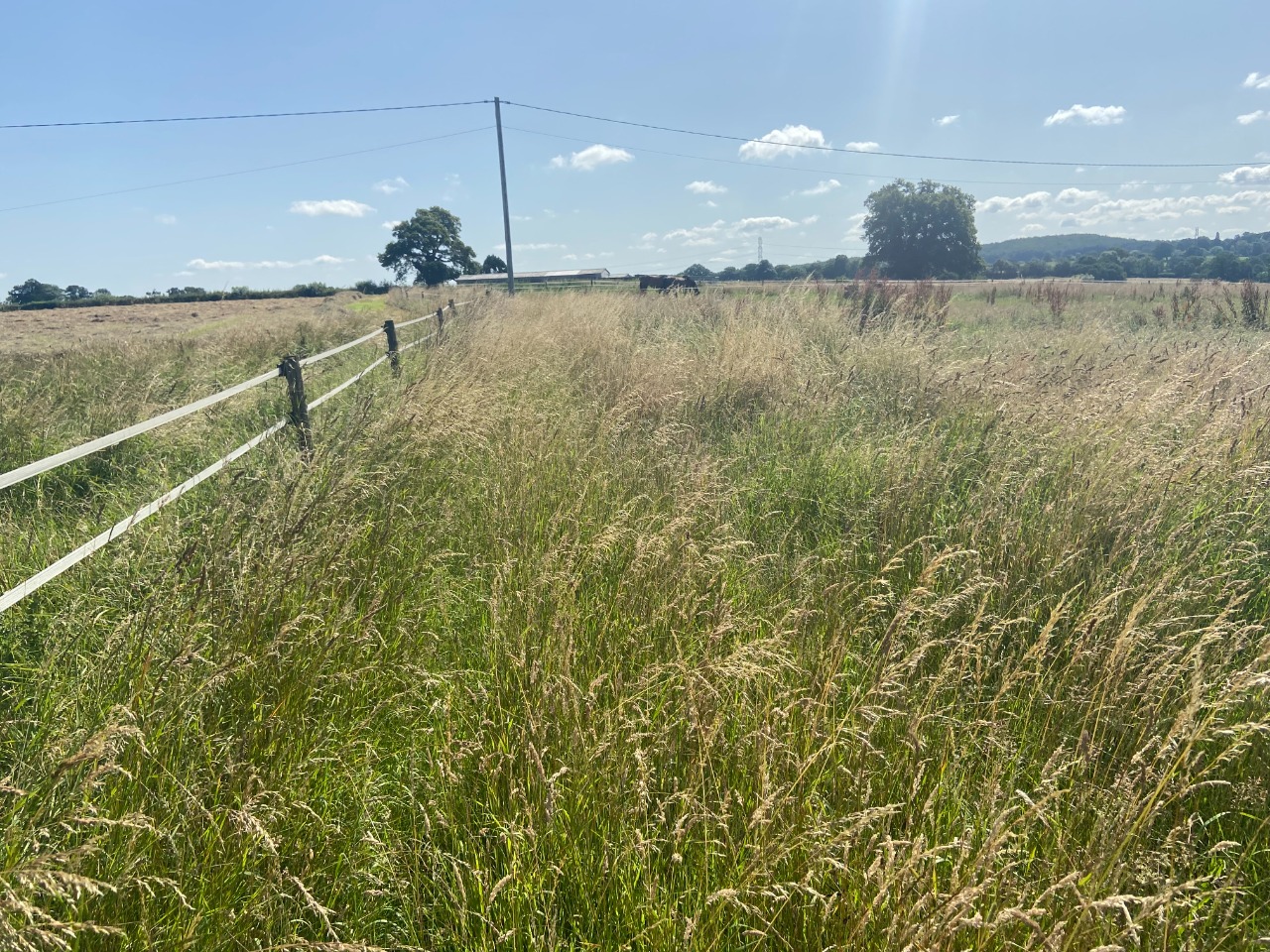
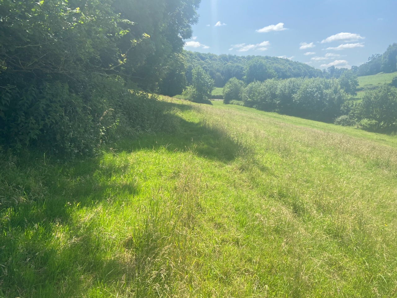
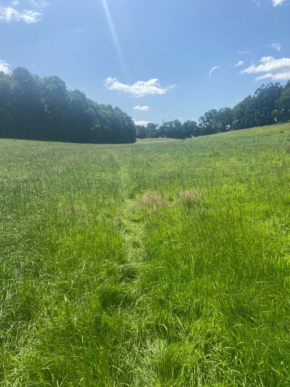
18. And here's what a representative field in this stretch looks like. 3.4 km from start — 18 Jul 2021

19. The final field approaching the B3092 had a handful of quiet and tame cows in it. 3.6 km from start — 18 Jul 2021
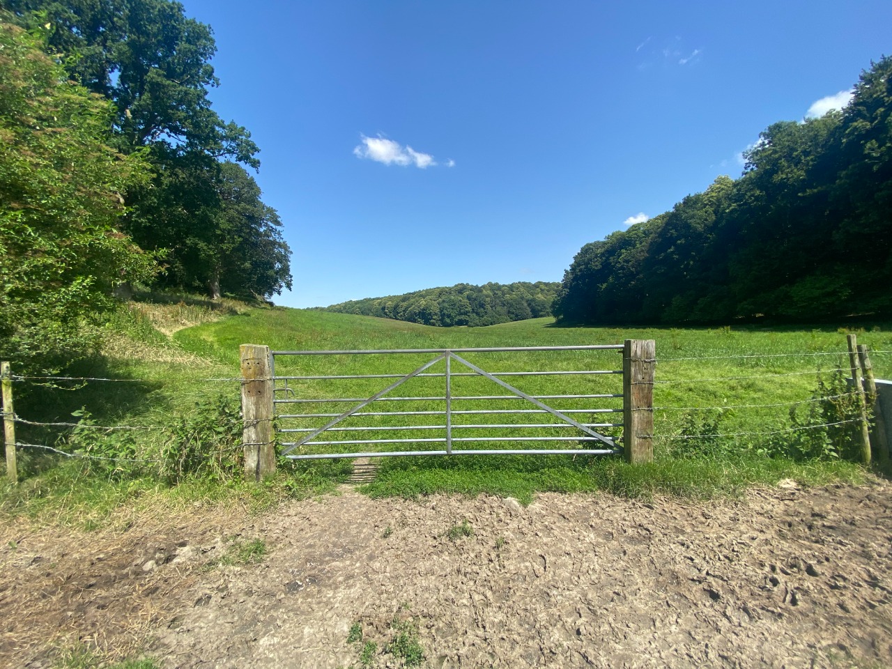
20. Gate to leave cow field and emerge onto B3092. 3.7 km from start — 18 Jul 2021

21. Road walking on B3092 isn't great, as the road is a bit fast and busy, but the stretch is short so not terrible. 3.8 km from start — 18 Jul 2021

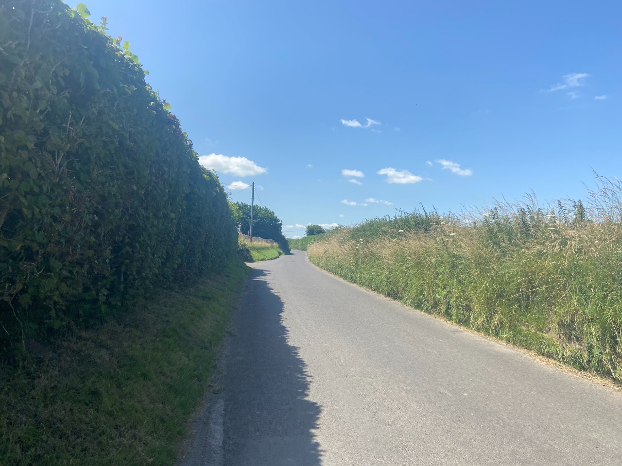
22. Great quiet lane walking! 4.2 km from start — 18 Jul 2021

23. Gate as you approach the A361. There was a pedestrian side that was open when I passed through. 4.5 km from start — 18 Jul 2021
24. Crossing the A road is pretty dangerous, so be careful. I got lucky with a nice traffic break shortly after arriving. After crossing, there's a similar stretch of road walking on a quiet lane until you turn into a field using this stile. 4.8 km from start — 18 Jul 2021
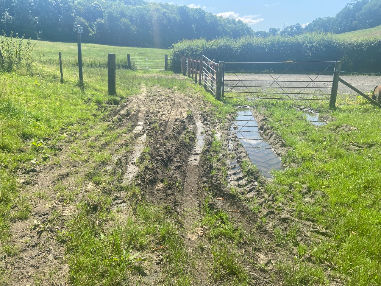
25. This is where it became a little tricky to navigate. I more or less stuck to what was plotted and found it okay, but it got a bit dicey. The paths are just not always the easiest to follow in reality. Further, the ground quality varies heavily - from mud, rutted grass, tall wildflowers, etc. 5 km from start — 18 Jul 2021
26. Another example in this stretch of a hard-to-spot and overgrown section of trail between two fields. 5.1 km from start — 18 Jul 2021

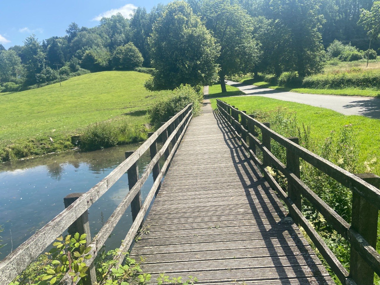
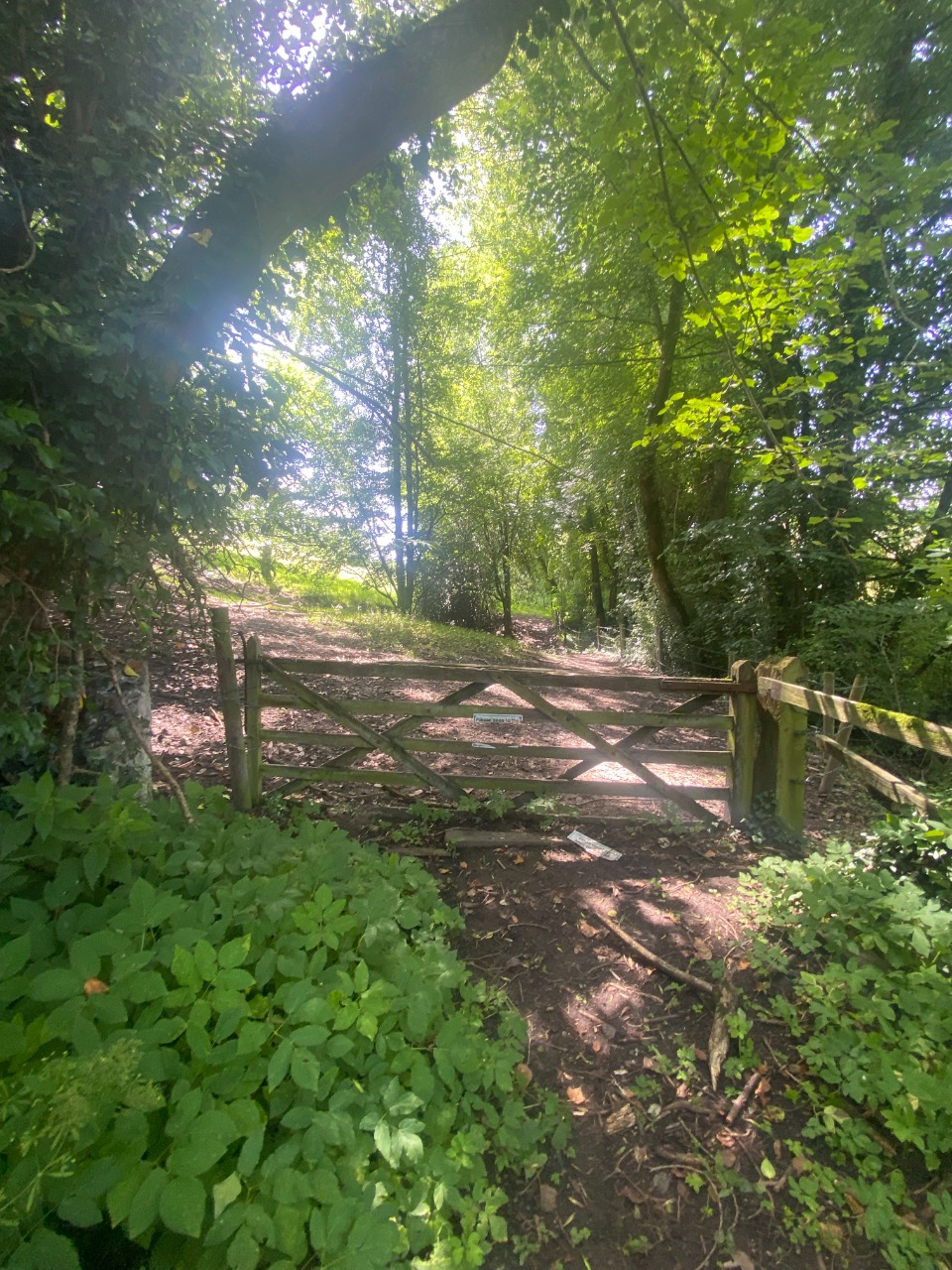
27. The rail crossing was a bridge, but extremely overgrown! Gates to tackle on both sides. Many of the gates in this section you could either climb over, fumble with an awkward mechanism, or get your hands all cut up in some stinging plant surrounding the handle! It was a bit tricky. 5.4 km from start — 18 Jul 2021
28. Grasses were overgrown in the section approaching the B3092. 5.5 km from start — 18 Jul 2021
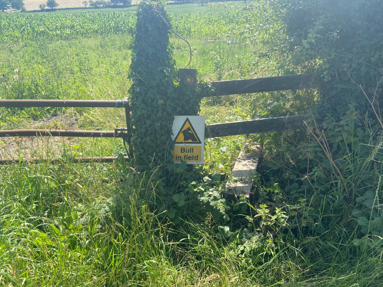
29. Next, walk down the B3092. Not terrible because short, but definitely not pleasant road walking. This is the stile to use to get off the B3092 again. This sign concerned me, but I saw only stalks of corn and no bull. 5.76 km from start — 18 Jul 2021
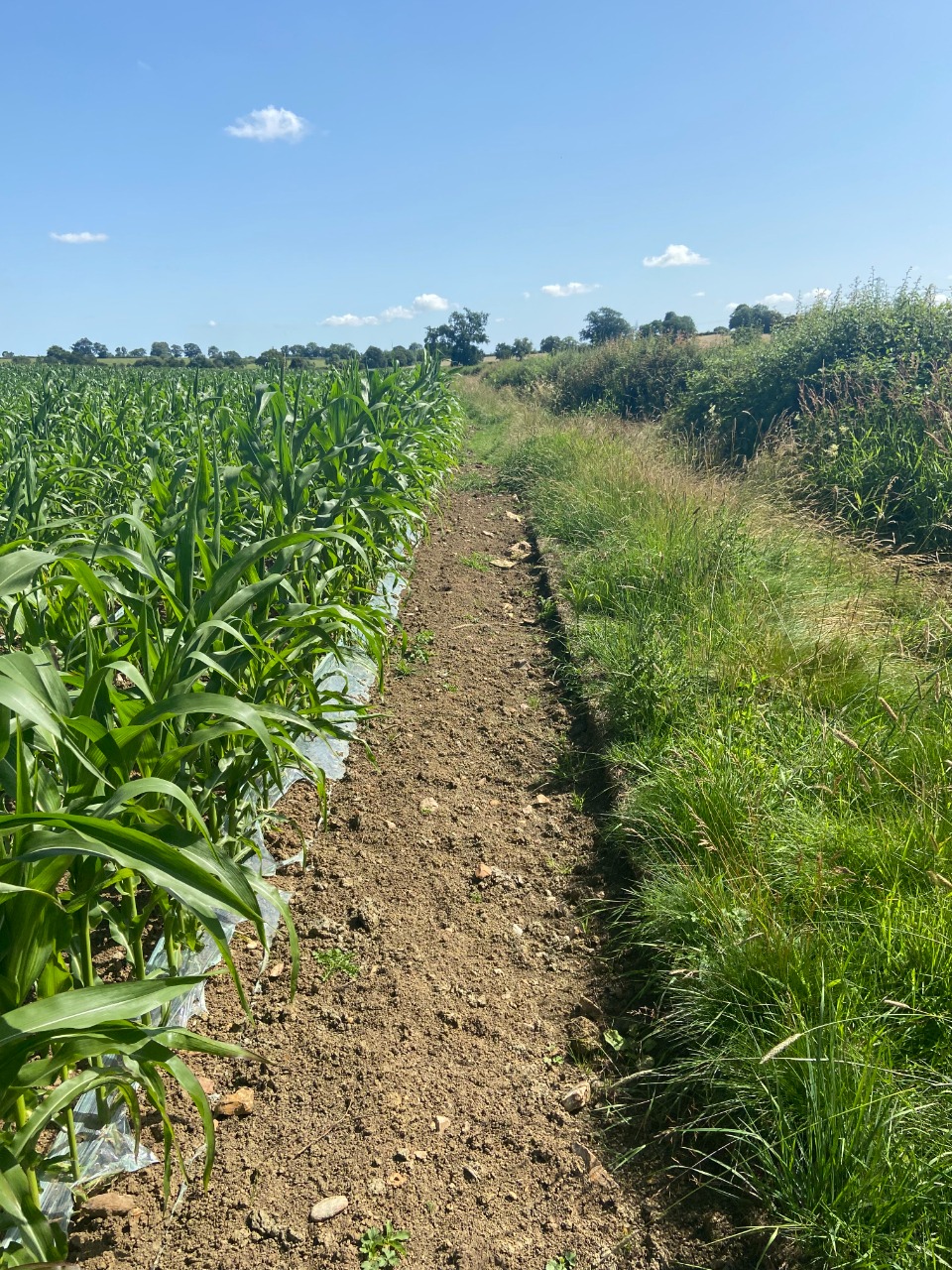
30. I had a VERY hard time following the path through these cornfields. I had to skirt the edges of the fields instead of following the paths through the centre. The edges, though, were very overgrown with stinging plants! 5.9 km from start — 18 Jul 2021

31. Several more gates and stiles to pass through on the way to St. Katherine's church. I'm lighter on details here because I passed through many gates I wasn't sure I needed to in my attempts to follow the trail. I don't have a definitive answer on what's required and what's not, as a result. 6.5 km from start — 18 Jul 2021

32. The final woods stretch approaching St. Katherine's church was very overgrown with stinging plants! 7 km from start — 18 Jul 2021
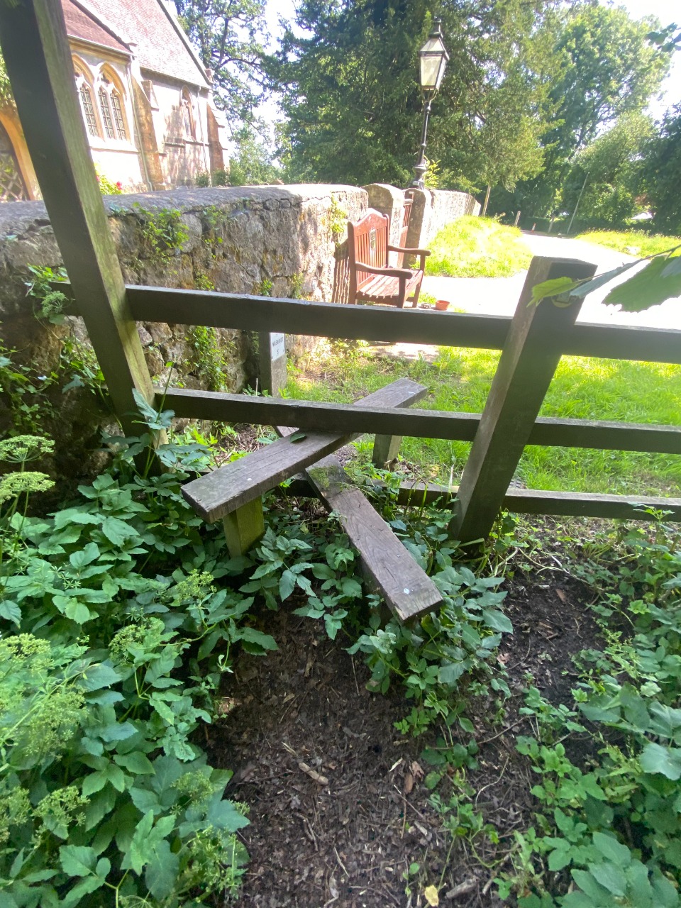
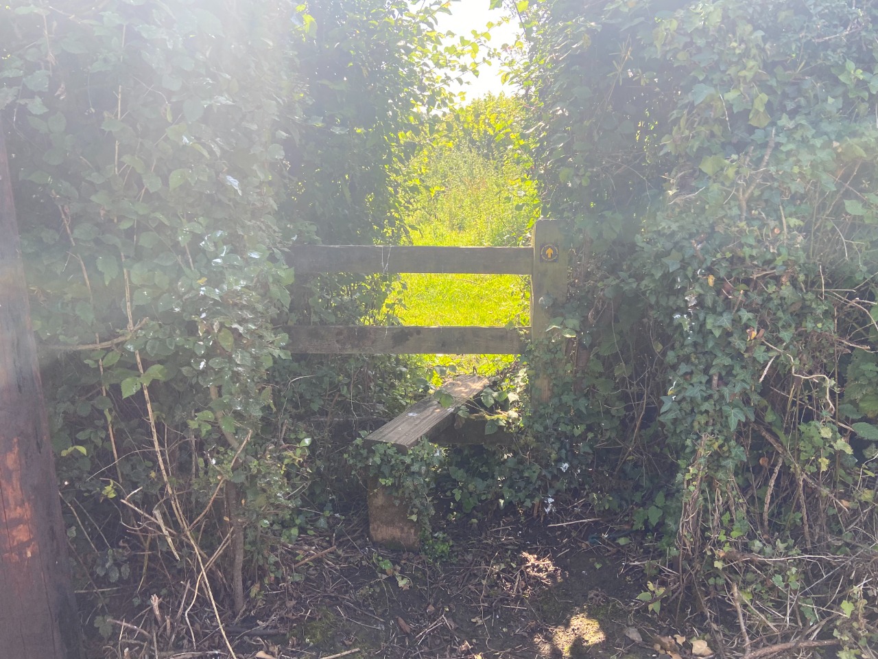
33. Stile and bench at St. Katherine's church. 7.2 km from start — 18 Jul 2021

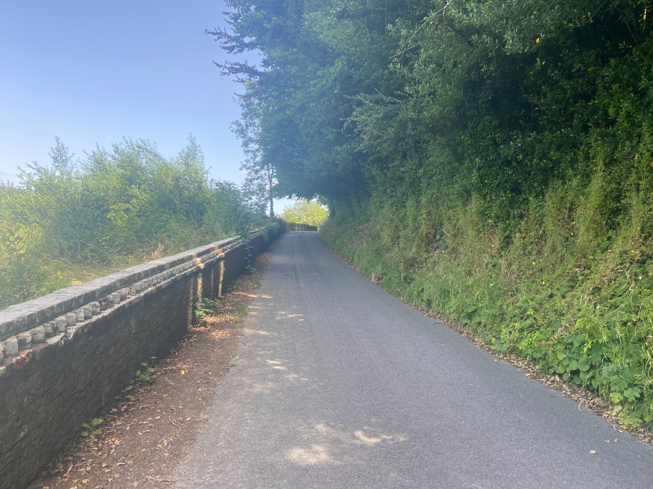
34. Road walking, dirt road walking, and muddy dirt road walking common for the next stretch until you really get on Longleat property. 7.7 km from start — 18 Jul 2021

35. Pretty typical of Slow Way through Longleat property. Single lane access road with wide shoulder. Perfectly pleasant walking. 10.4 km from start — 18 Jul 2021
36. Short bit of road walking out of Hoorningsham. 11.4 km from start — 18 Jul 2021
37. Soon, though, a separated pavement/sidewalk appears along the road. 12 km from start — 18 Jul 2021
38. Next, the route turns down another road. This has a relatively steep down gradient. 12.2 km from start — 18 Jul 2021
39. Path continues off-road. Some muddy, some overgrown sections. In this stretch, I found a bit of tricky navigating, but I trusted my gut and ended up ok. 12.3 km from start — 18 Jul 2021
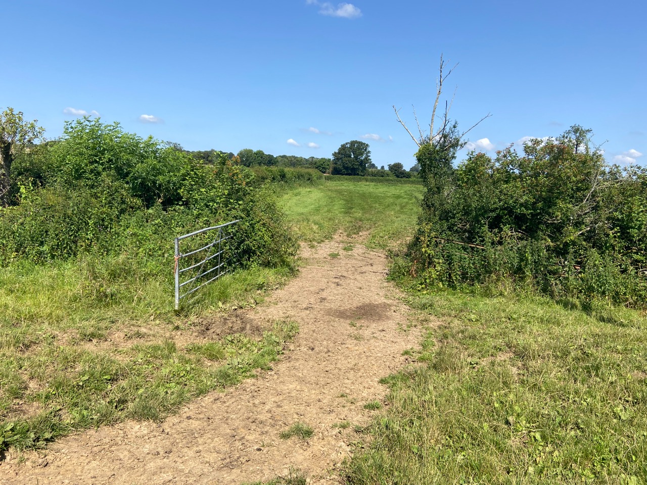
40. Example of a gate in the woods in this stretch. 12.4 km from start — 18 Jul 2021

41. At one point on an otherwise really good stretch of footpath, a fallen tree blocked the way! 12.5 km from start — 18 Jul 2021

42. Back-to-back stiles. 12.6 km from start — 18 Jul 2021
43. Path through field around the vicinity of Pottle Street. At Pottle Street, instead of heading west to continue south, just continue straight south. The Slow Way plotting is wrong - don't go up Pottle Street: there's no path where the map says there is! 12.8 km from start — 18 Jul 2021
44. A bit of mud approaching Pottle Street. 12.9 km from start — 18 Jul 2021
45. Path through field just south of Pottle Street. 13.1 km from start — 18 Jul 2021
46. A few gates to cross in this stretch. 13.3 km from start — 18 Jul 2021
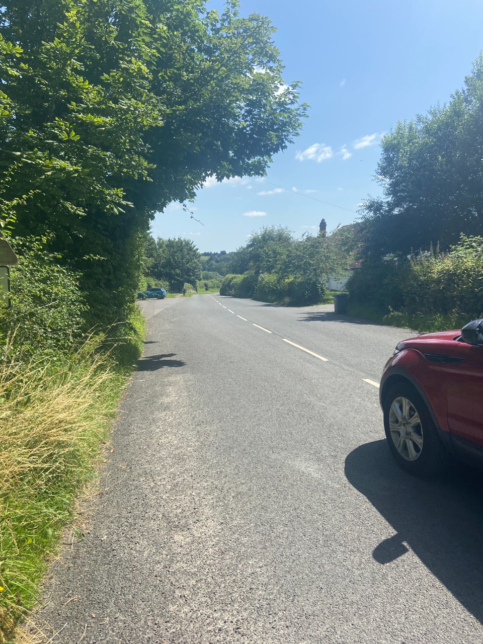
47. Aaand, road walking the rest of the way into Maiden Bradley. I found the road walking to be just fine. The road was quiet. 14.1 km from start — 18 Jul 2021
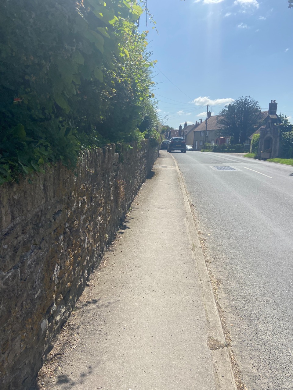
48. Turning the corner into Maiden Bradley a sidewalk picks up. I got water from the spout at the community center on the corner, but the pub near the end of the route offered me water, too! 15.4 km from start — 18 Jul 2021