Frome — Maiden Bradley
Fromai one

Slow Way not verified yet. Verify Fromai here.
Slow Way not verified yet. Verify Fromai here.
By a Slow Ways Volunteer on 07 Apr 2021
Description
This is a Slow Ways route connecting Frome and Maiden Bradley.
Know of a better route? Share it here.
This is a Slow Ways route connecting Frome and Maiden Bradley.
Know of a better route? Share it here.
Status
This route has been reviewed by 2 people.
This route has been flagged (1 times) for reasons relating to access.
Photos for Fromai one


Photos of this route will appear when they are added to a review. You can review this route here.
Information
Route status - Live
Reviews - 2
Average rating -
Is this route good enough? - Yes (1) No (1)
Problems reported - Access (1)
Downloads - 5
Surveys
What is this route like?
Surveys are submitted by fellow users of this website and show what you might expect from this Slow Ways route. Scroll down the page to read more detailed surveys.
| Grade 0U based on 0 surveys | Sign up or log in to survey this route. | ||
|---|---|---|---|
| Description | Note | ||
| Currently ungraded. Access grade U: Currently ungraded. |
Grading is based on average scores by surveyors. This slow way has 0 surveys. | ||
| Full grading description | |||
Only people who have completed our training can become Slow Ways surveyors and submit a survey. We do not vet contributors, so we cannot guarantee the quality or completeness of the surveys they complete. If you are dependent on the information being correct we recommend reading and comparing surveys before setting off.
Survey Photos
We are working to build-up a picture of what routes look like. To do that we are asking volunteers to survey routes so that we can communicate features, obstacles and challenges that may make a route desirable or not.
Slow Ways surveyors are asked to complete some basic online training, but they are not vetted. If you are dependent on the survey information being correct in order to complete a route, we recommend that you think critically about the information provided. You may also wish to wait until more than one survey has been completed.
Help people know more about this route by volunteering to submit a survey.
- Complete the survey training.
- Submit a survey for this route.
Geography information system (GIS) data
Total length
Maximum elevation
Minimum elevation
Start and end points
Frome
Grid Ref
ST7764948039
Lat / Lon
51.23109° / -2.32149°
Easting / Northing
377,649E / 148,039N
What3Words
gangs.mull.truth
Maiden Bradley
Grid Ref
ST8015838842
Lat / Lon
51.14848° / -2.28505°
Easting / Northing
380,158E / 138,842N
What3Words
wand.answers.voltage
Fromai One's land is
| Frome | |
|---|---|
| Grid Ref | ST7764948039 |
| Lat / Lon | 51.23109° / -2.32149° |
| Easting / Northing | 377,649E / 148,039N |
| What3Words | gangs.mull.truth |
| Maiden Bradley | |
|---|---|
| Grid Ref | ST8015838842 |
| Lat / Lon | 51.14848° / -2.28505° |
| Easting / Northing | 380,158E / 138,842N |
| What3Words | wand.answers.voltage |
| Arable | 10.9% |
| Pasture | 61.4% |
| Urban | 19.7% |
| Woods | 8.0% |
Data: Corine Land Cover (CLC) 2018
reviews
Tim Ryan
13 Mar 2024The section of route between Honingsham and the house and so between Honingsham and leaving the park at Cole Hill is, according to the estate not accessible on foot, although a Sustrans trail and part of the Wiltshire Cycle way. you need to be on a cycle. Fromai (two) is a good option.
Mtormey
18 Jul 2021Good Slow Way with varied terrain and scenery.
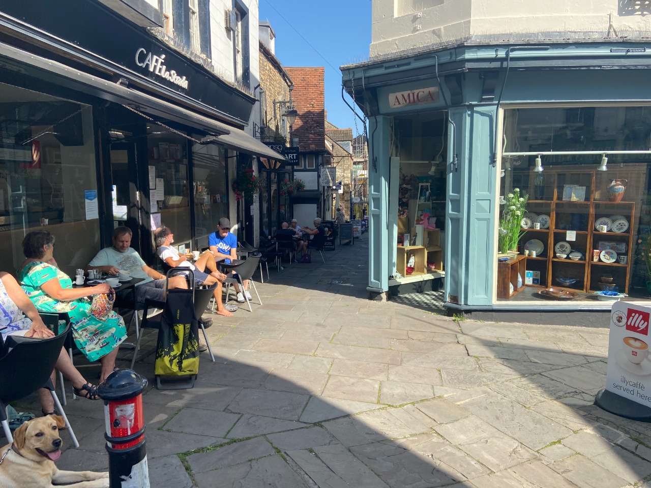
I walked Frome -> Maiden Bradley. I loved the vibrant market street in Frome as a starting point. Fun to walk through and explore (when open!).
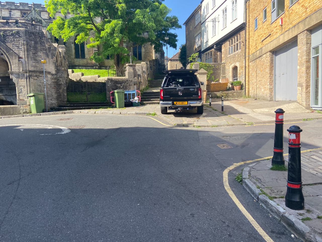
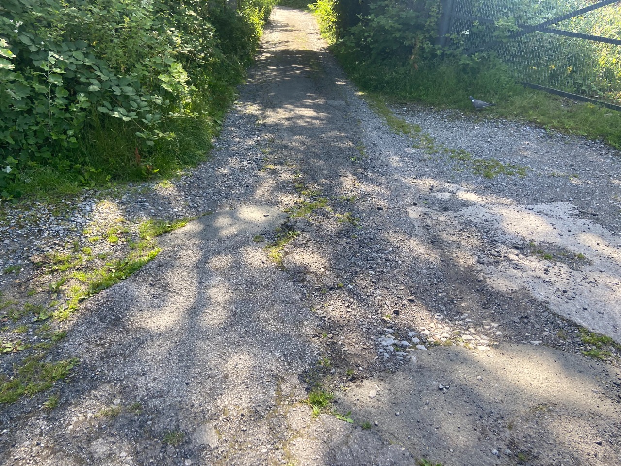
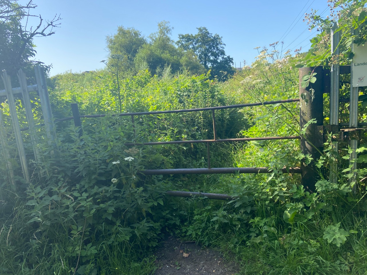
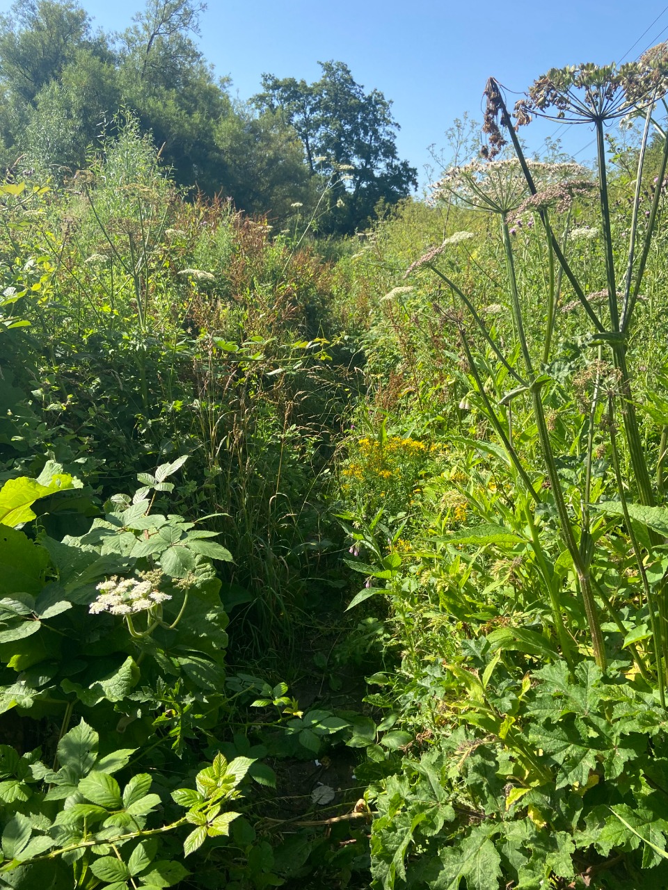
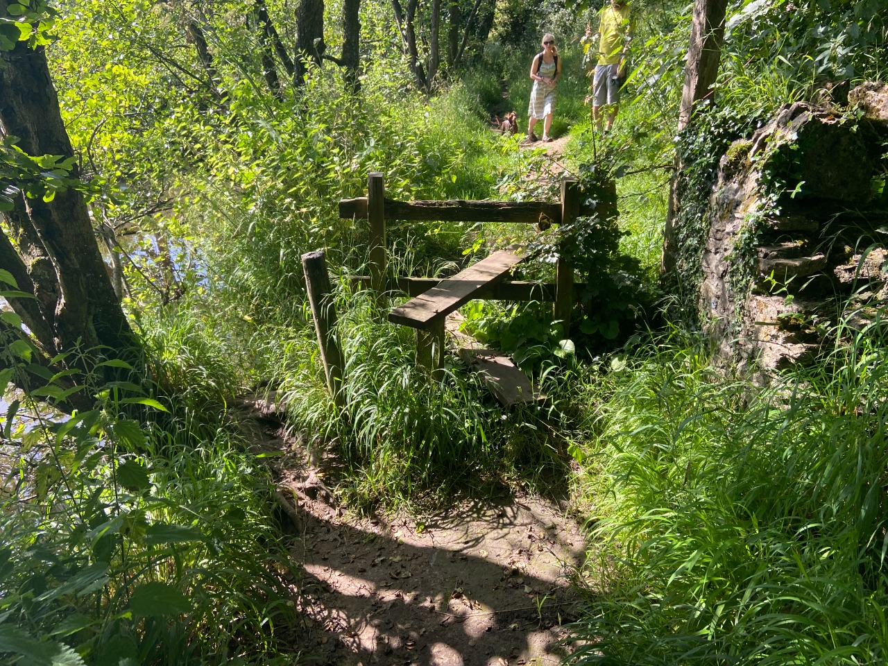
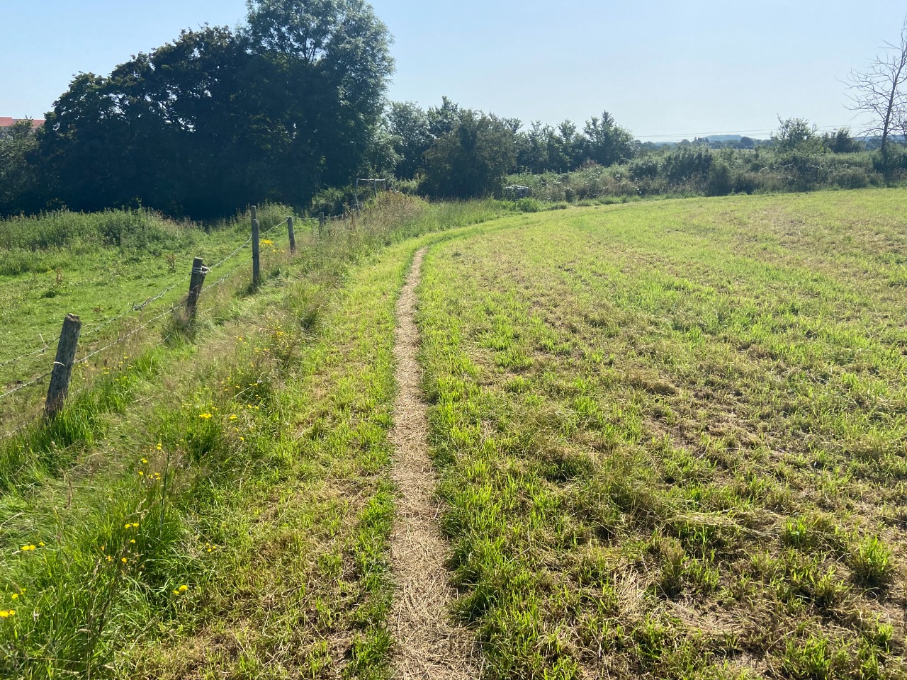
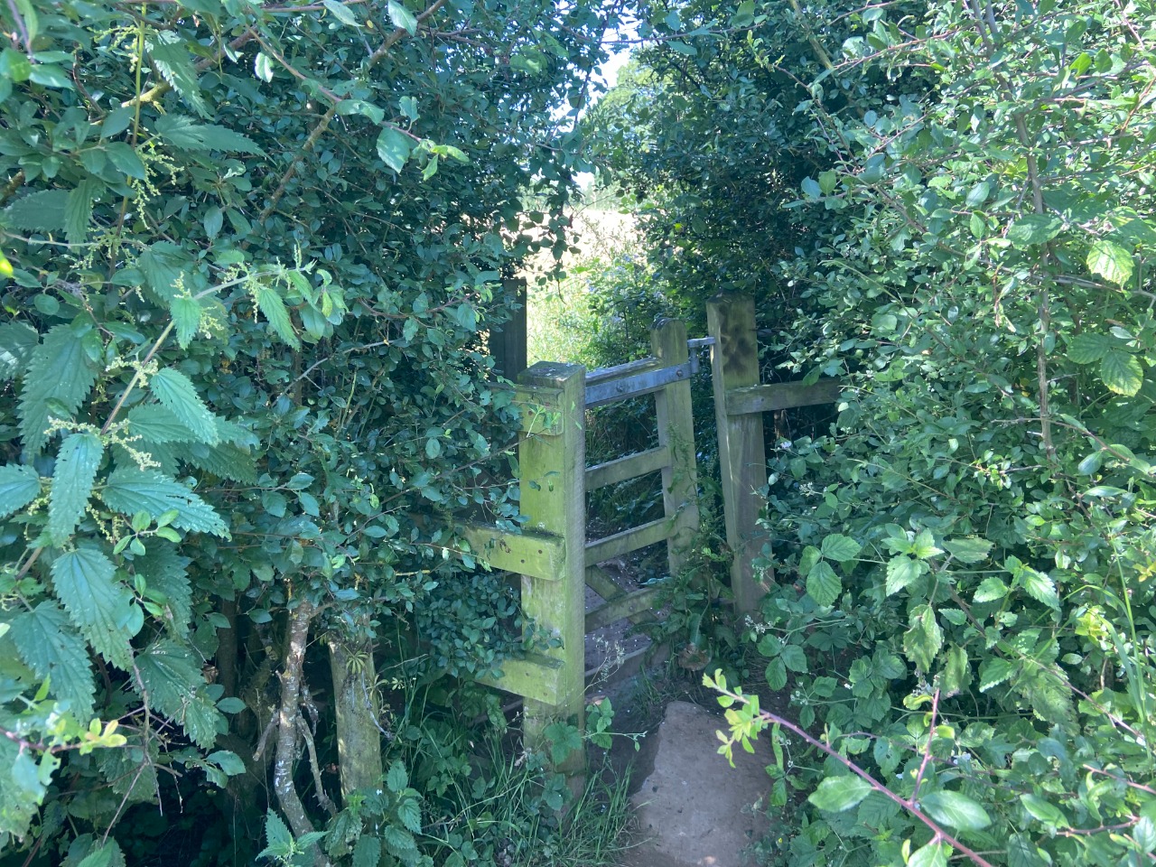
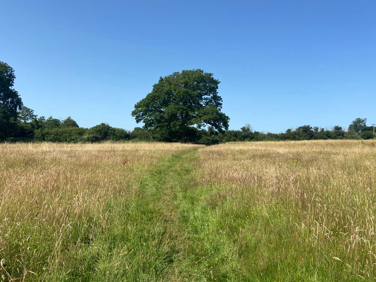
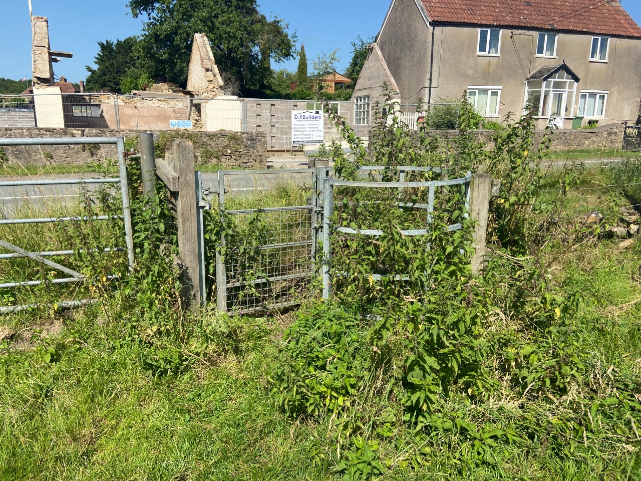
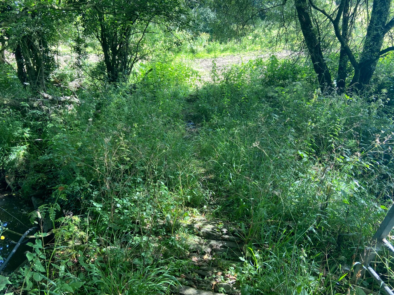
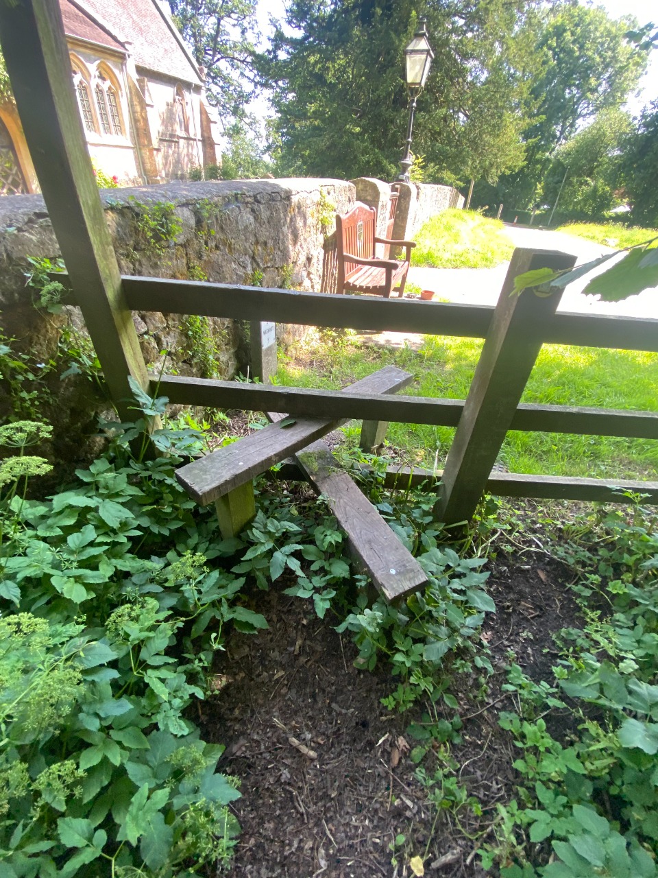
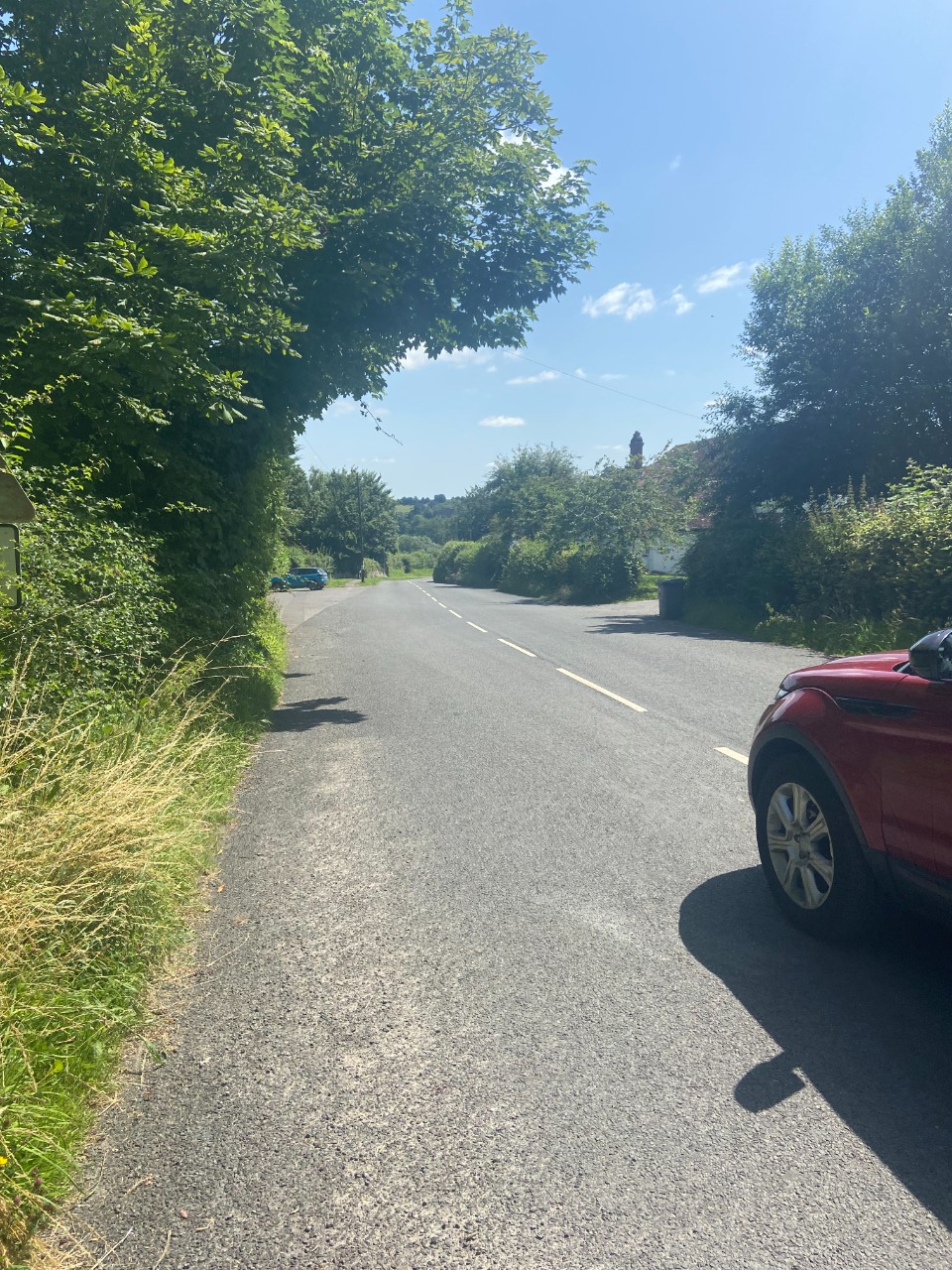
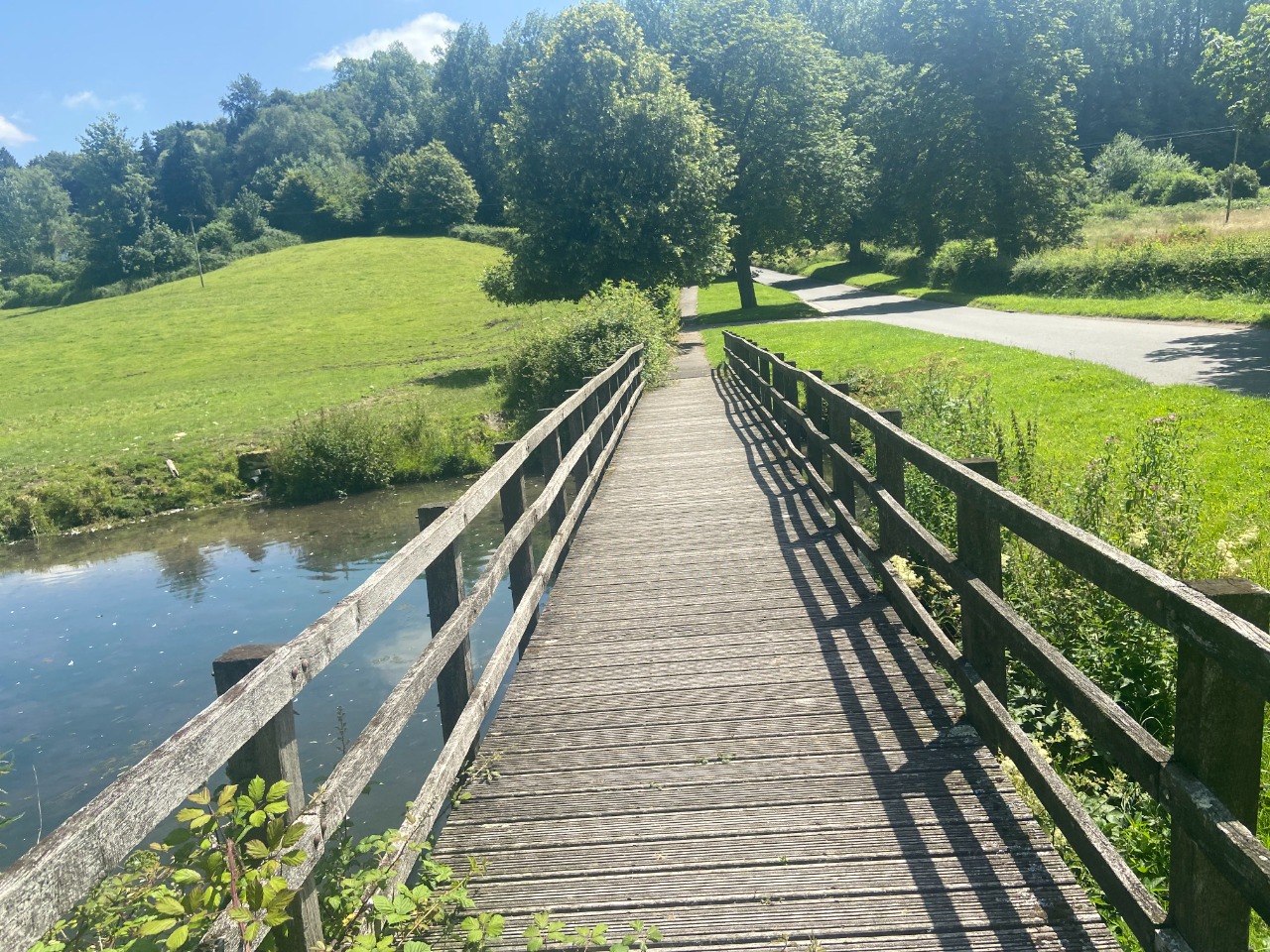
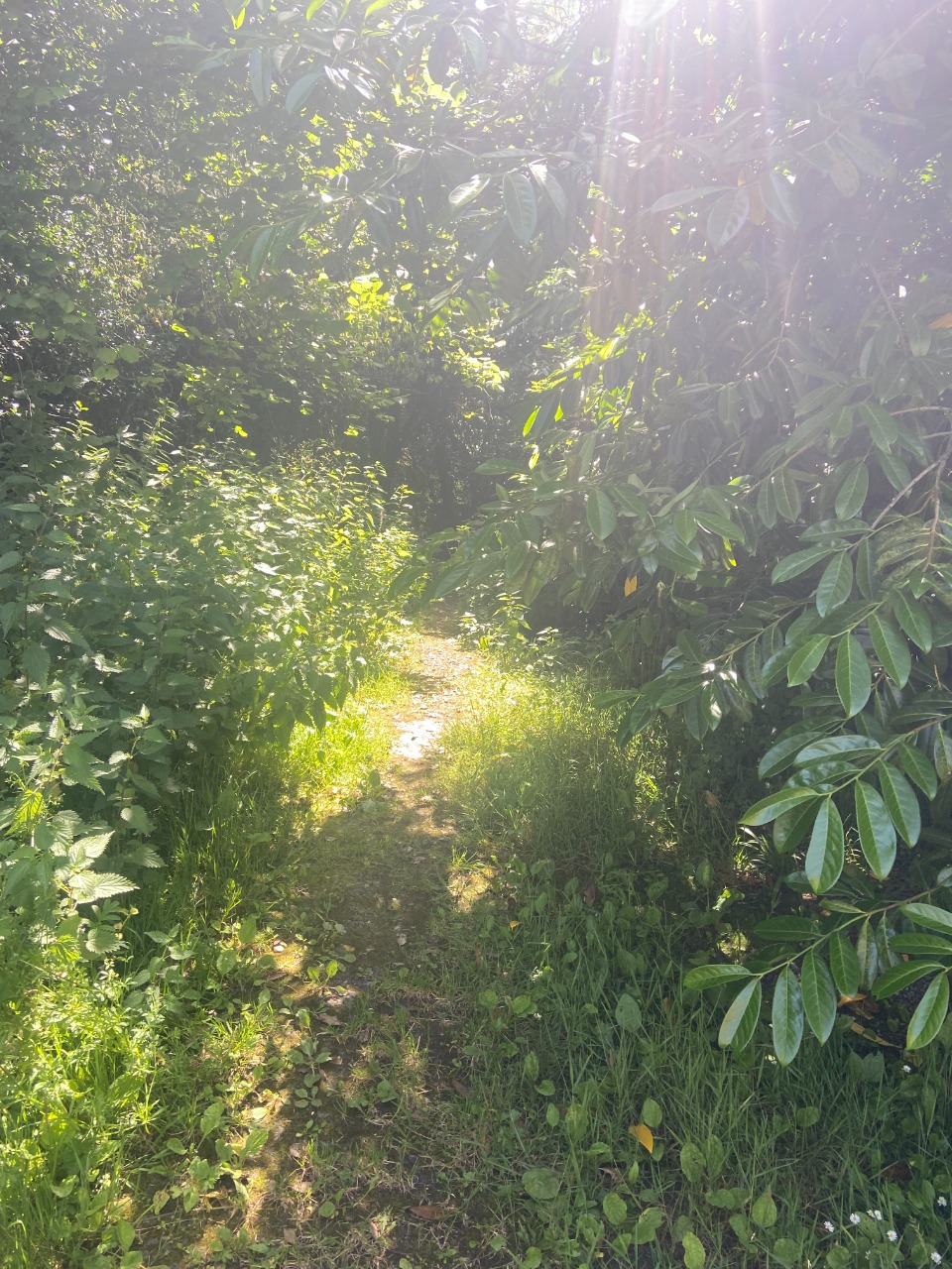
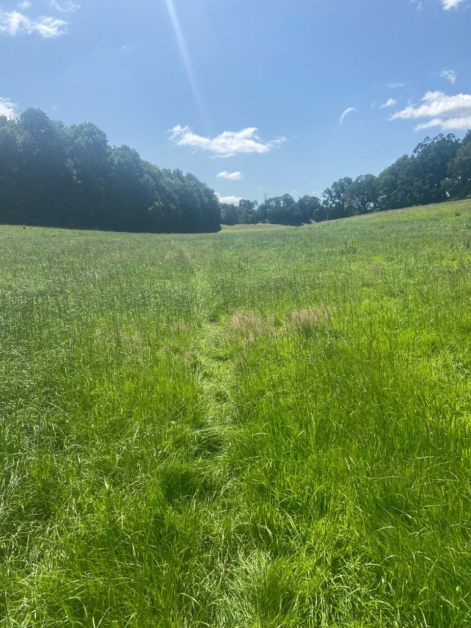
The segment along the A362 is short enough, and after a steep uphill segment after the Slow Way route turns towards Frome Station, there's a long stretch of path along the River. This path is VERY overgrown in parts, and often overgrown with stinging plants! In other places, the path was a bit muddy or had low-hanging trees. The main obstacle, though, was the stinging plants!
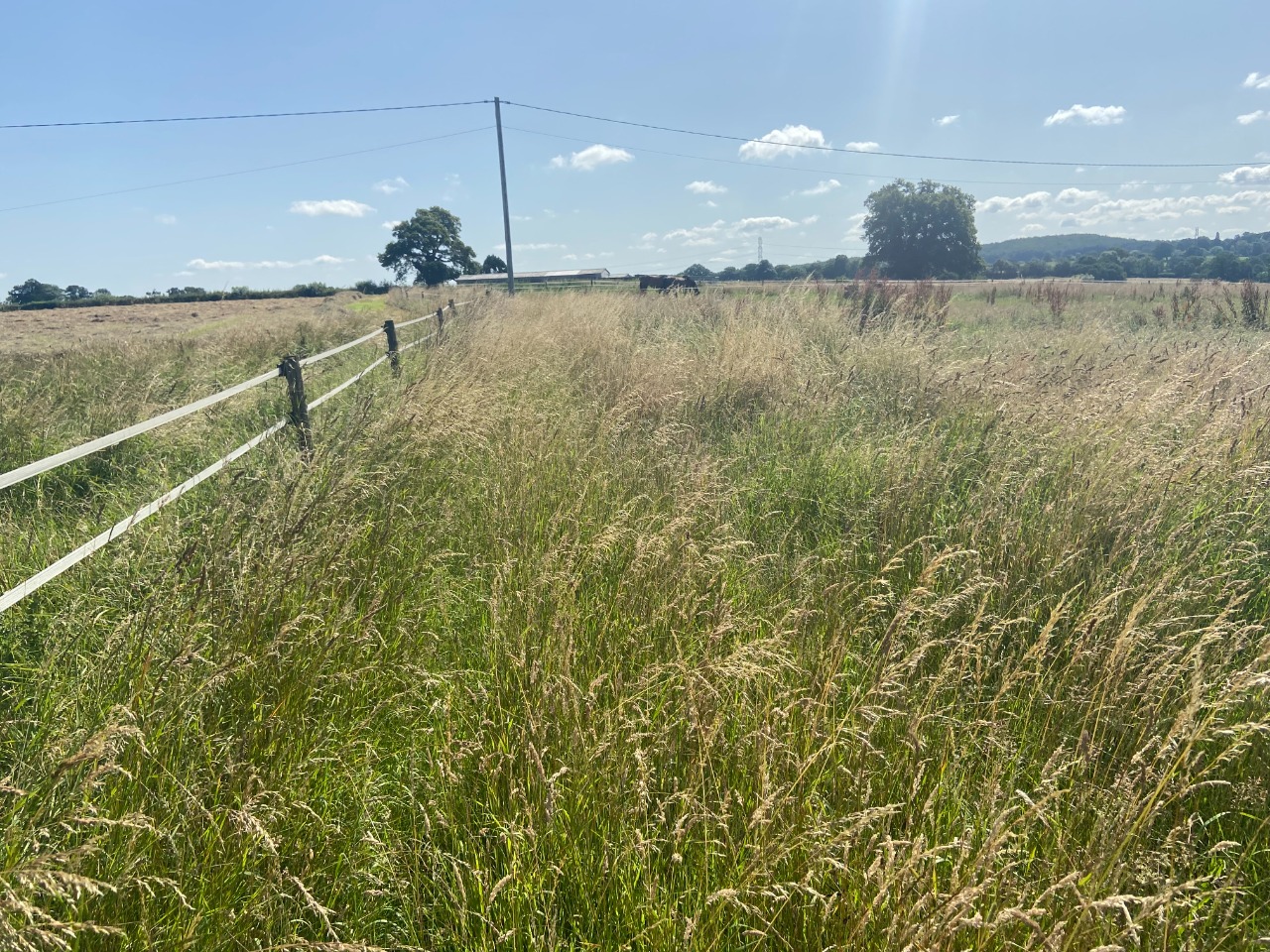
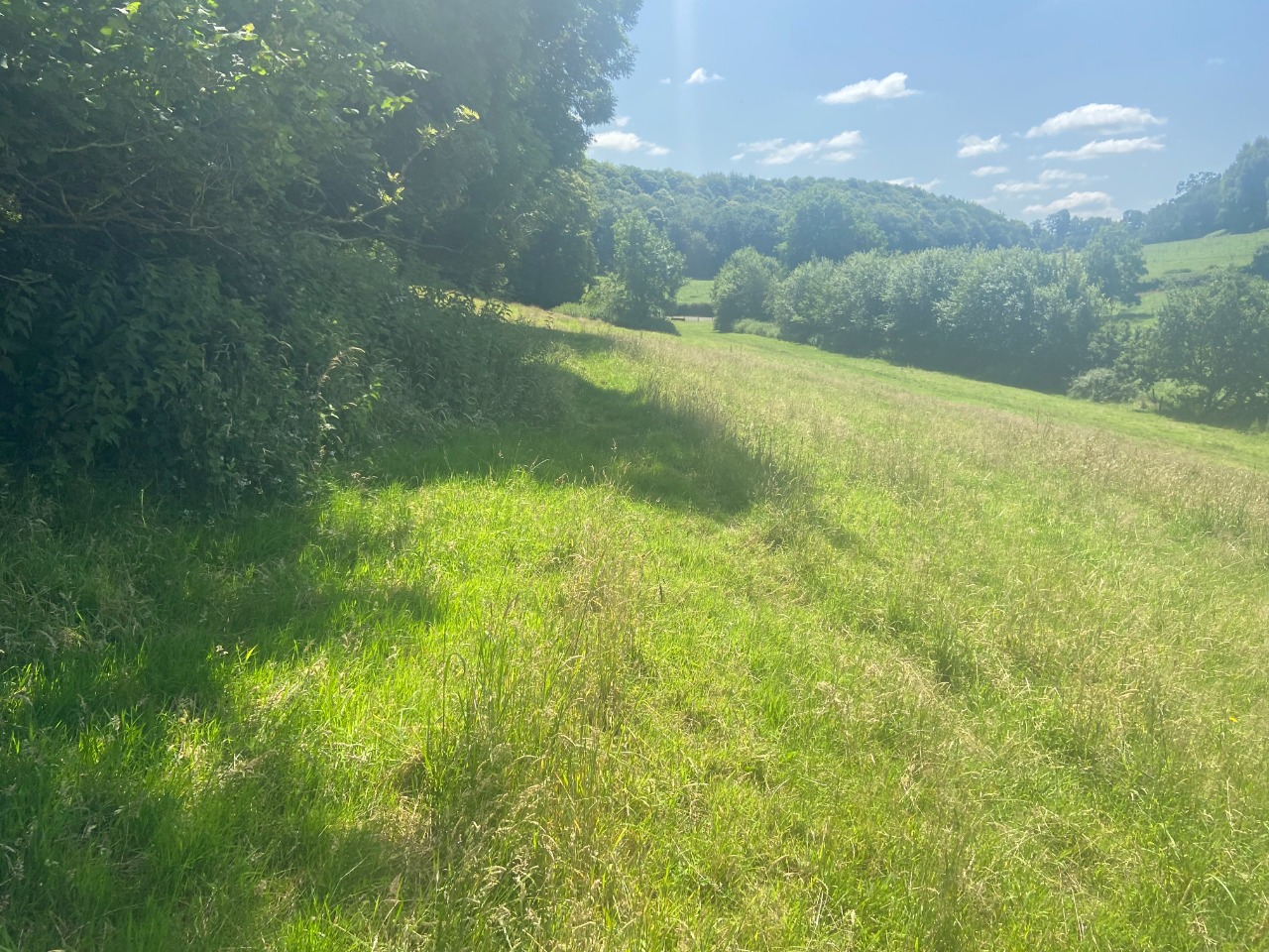
Approaching Feltham Lane, there were many people out and some dogs, too, and the open fields were easier for walking and beautiful! The path isn't totally aligned with what exists on the map, but it's not too difficult to figure out how to go.
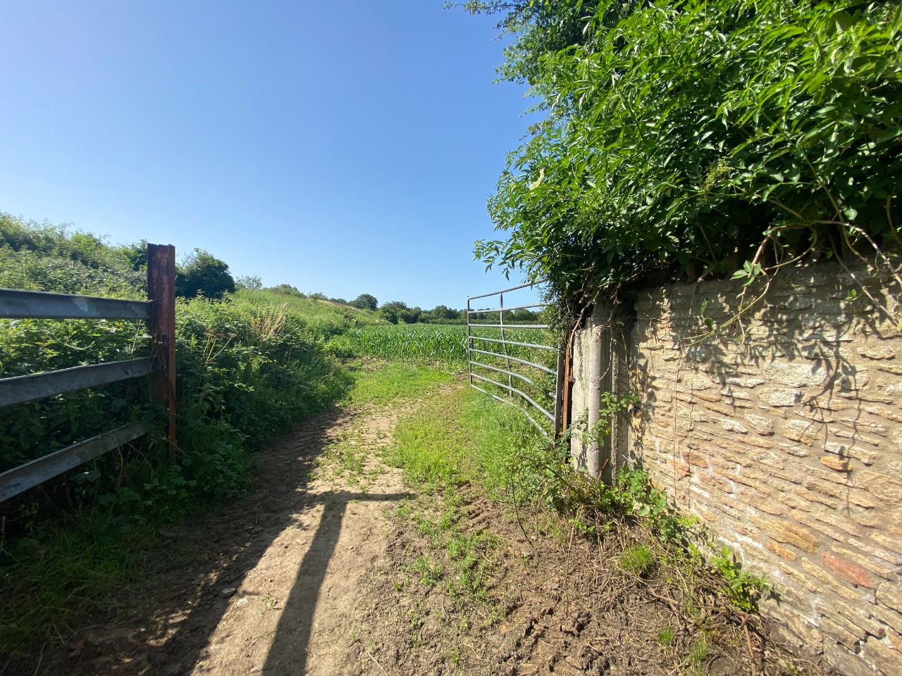
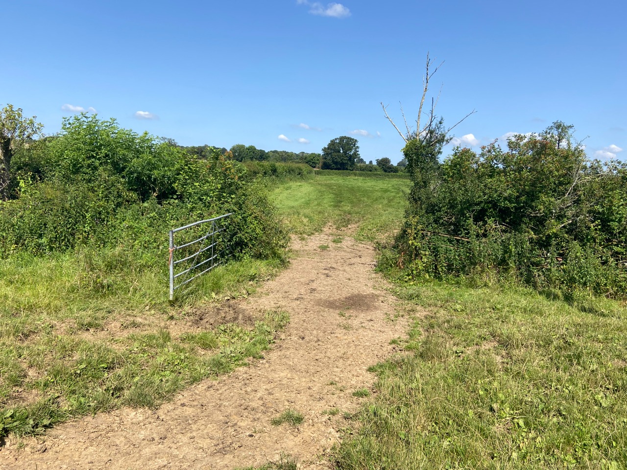
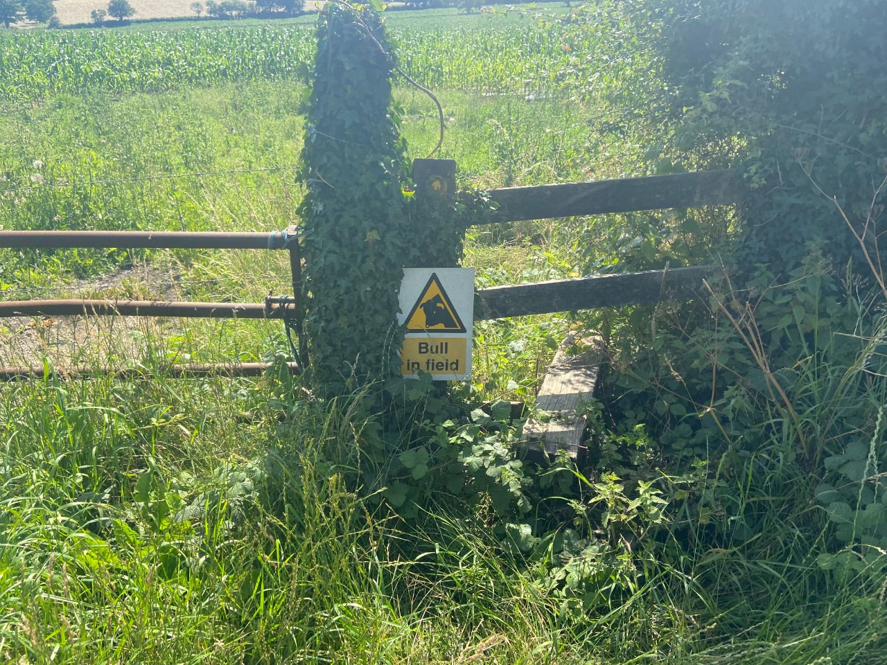
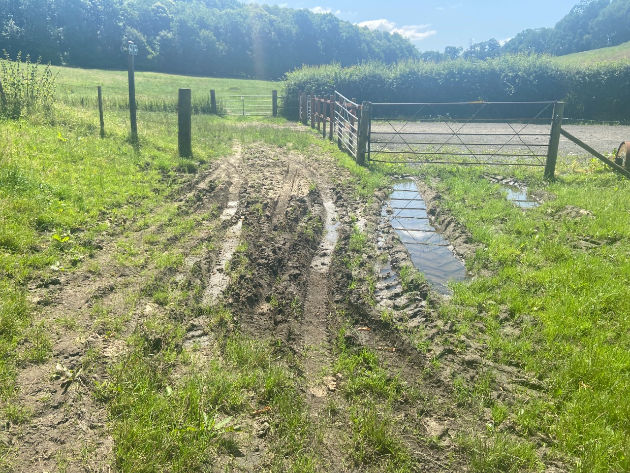
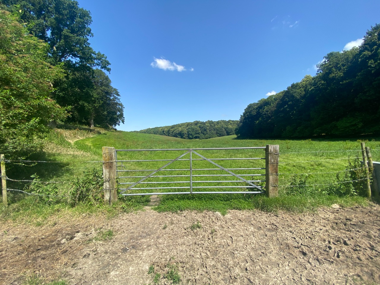
Approaching the B3092 the path goes through a succession of fields (and gates), and the last field had several cows in it. I was nervous to walk through but they didn't mind me at all.
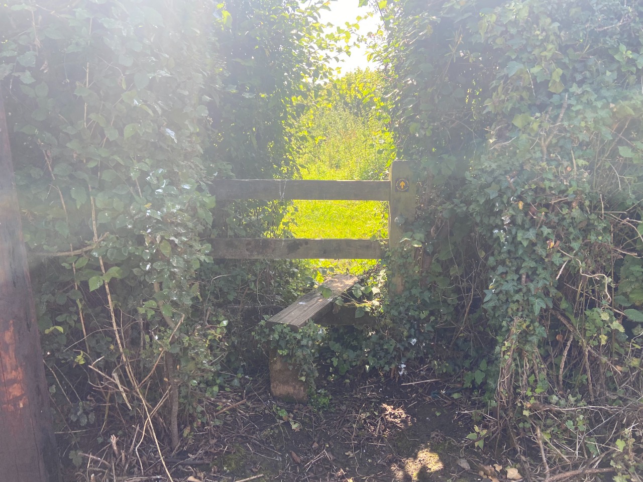
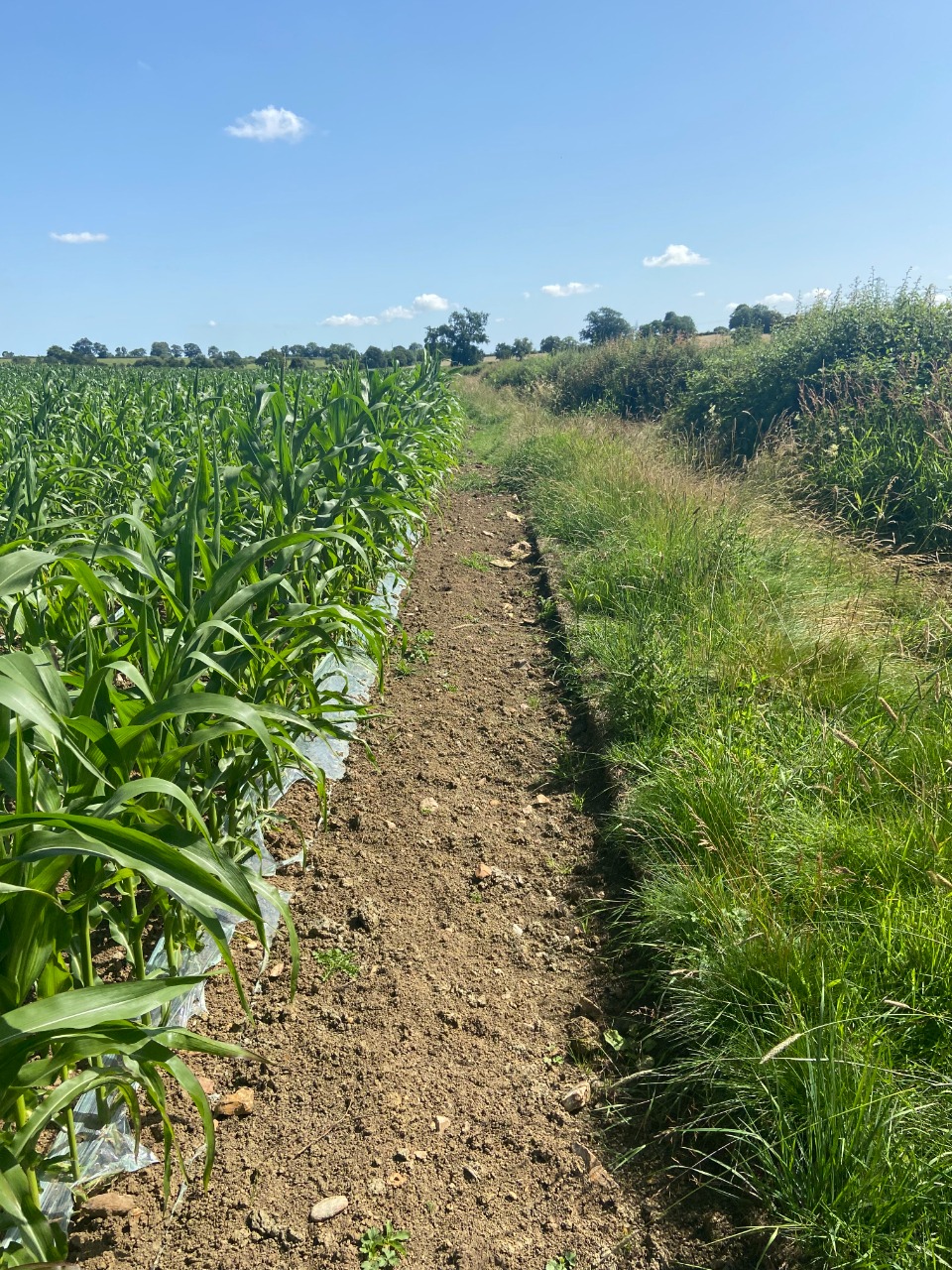
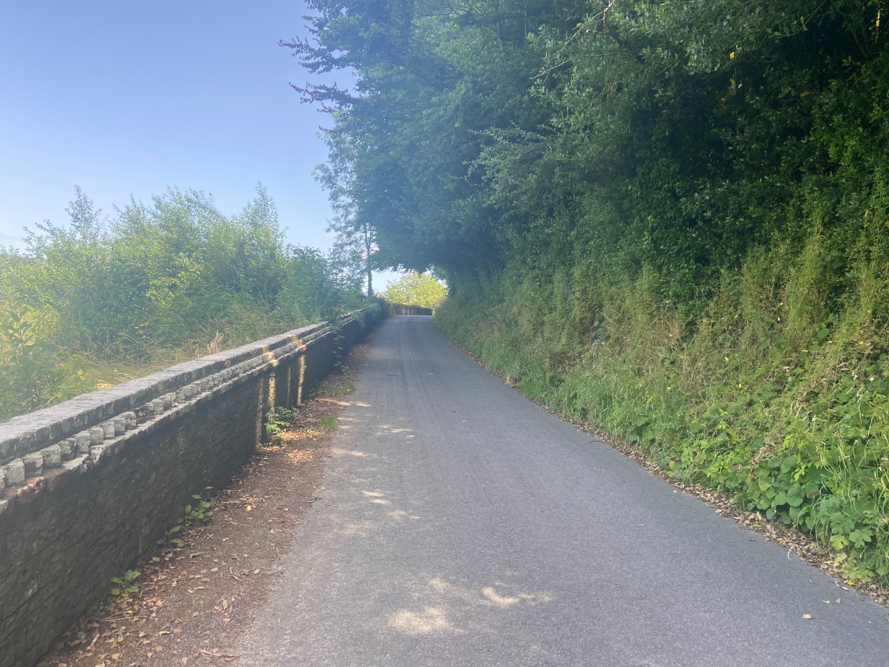
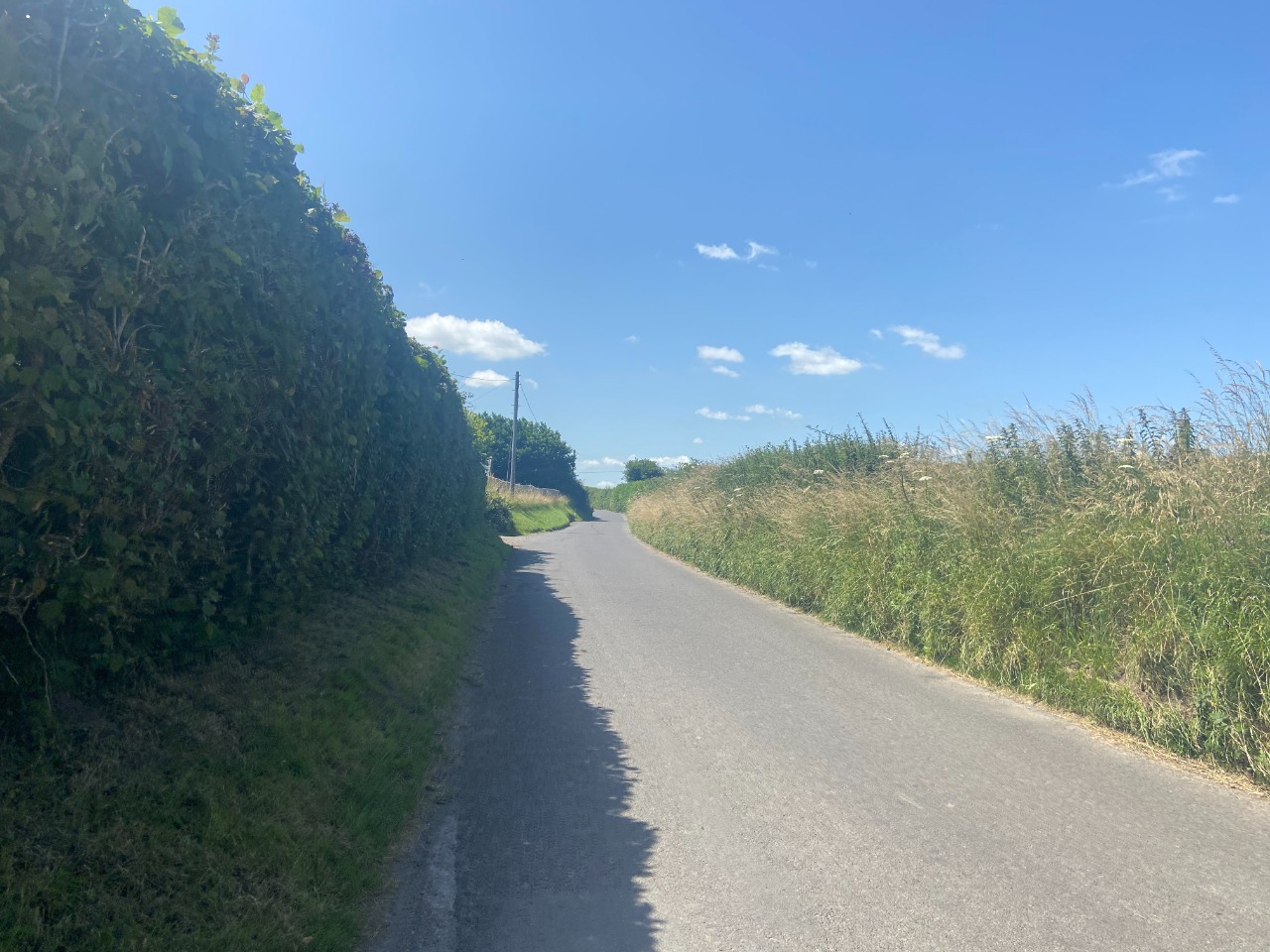
The stretch between Vinney Lane and St. Katherine's church was difficult. For much of it, the path was a bit difficult to follow, but I just generally headed in the direction I expected and made it through. In other segments, the path was very overgrown (again with stinging plants!). Walking along the B3092 wasn't extremely pleasant, but it was short enough. I did see several deer out in these fields!
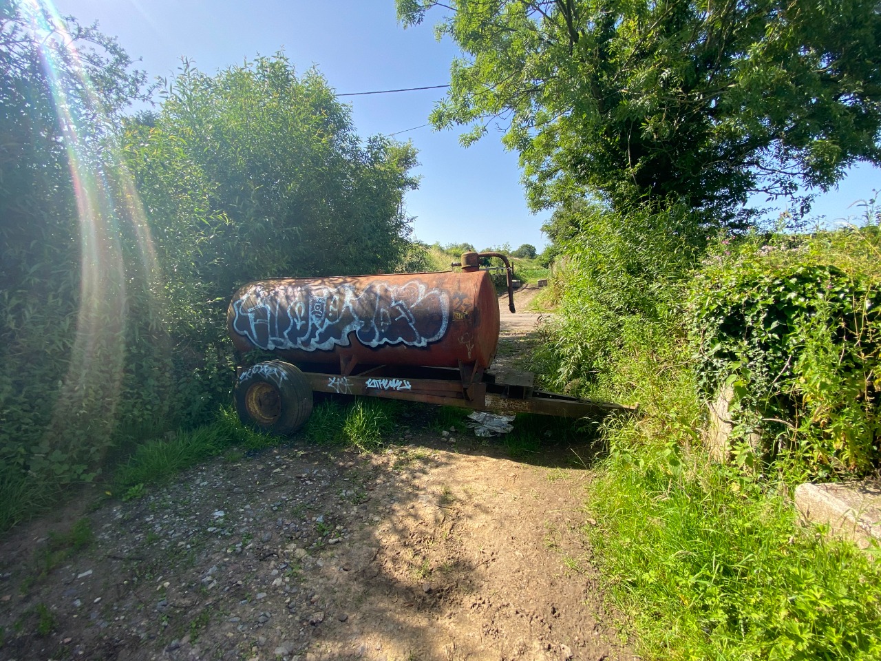
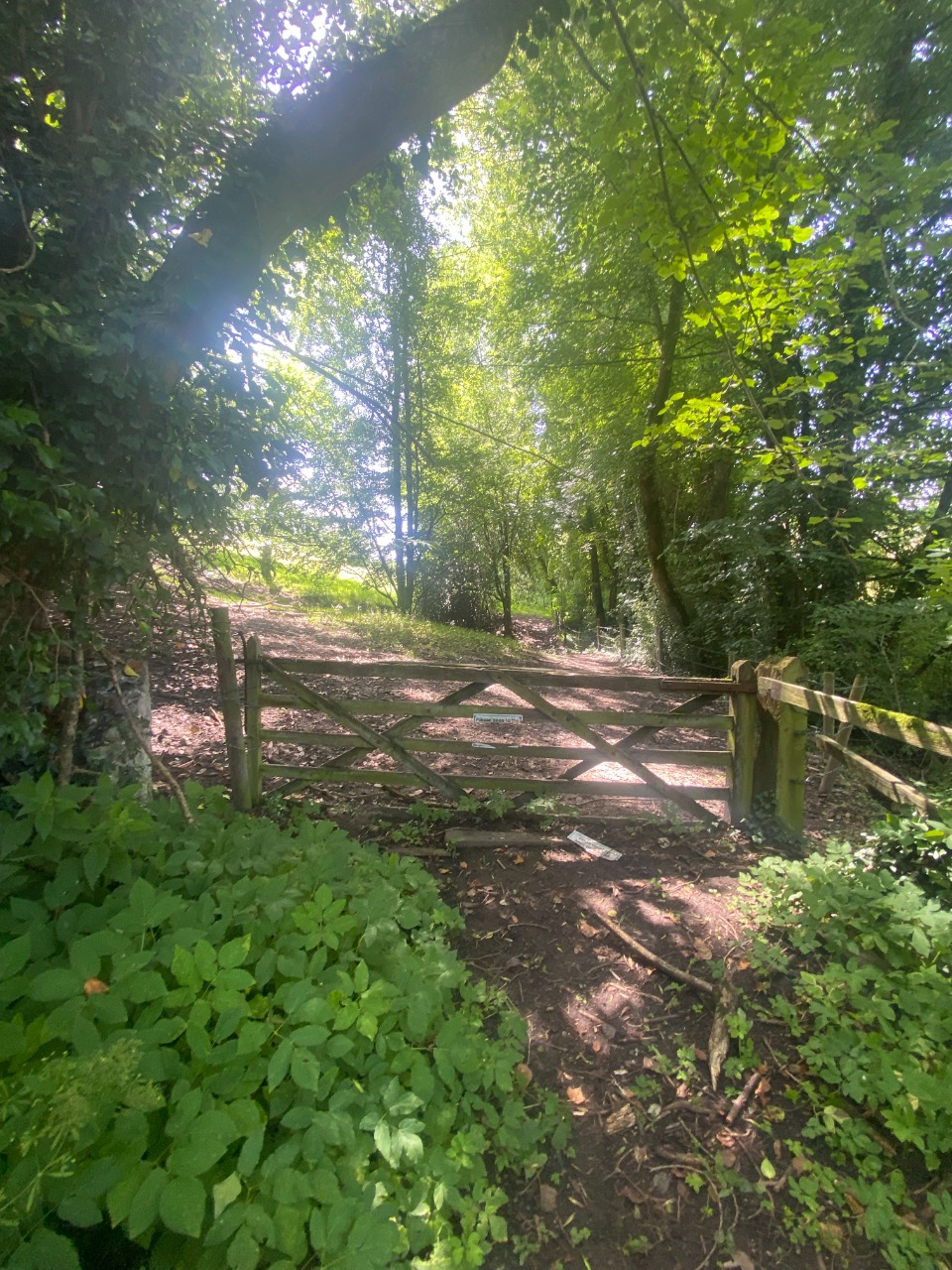
The stretch through Longleat was a bit surreal, because it totally felt like I was trespassing on a paid attraction, but I really don't think I was. I didn't pass through any closed gates, and no one stopped me. Really cool to see the house up close!
Horningsham looked lovely, and a huge sign offering "COLD PINTS" on a very hot day was very attractive to me...
Where the Slow Way route goes up Pottle Street a little bit before heading back into the field, just continue straight across and don't go up Pottle Street - there's no path there!
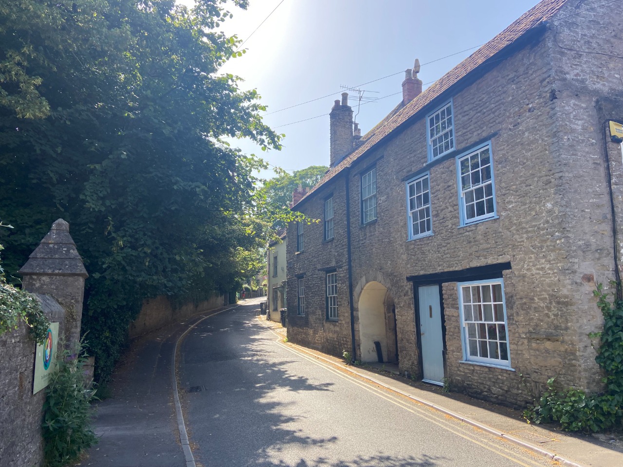
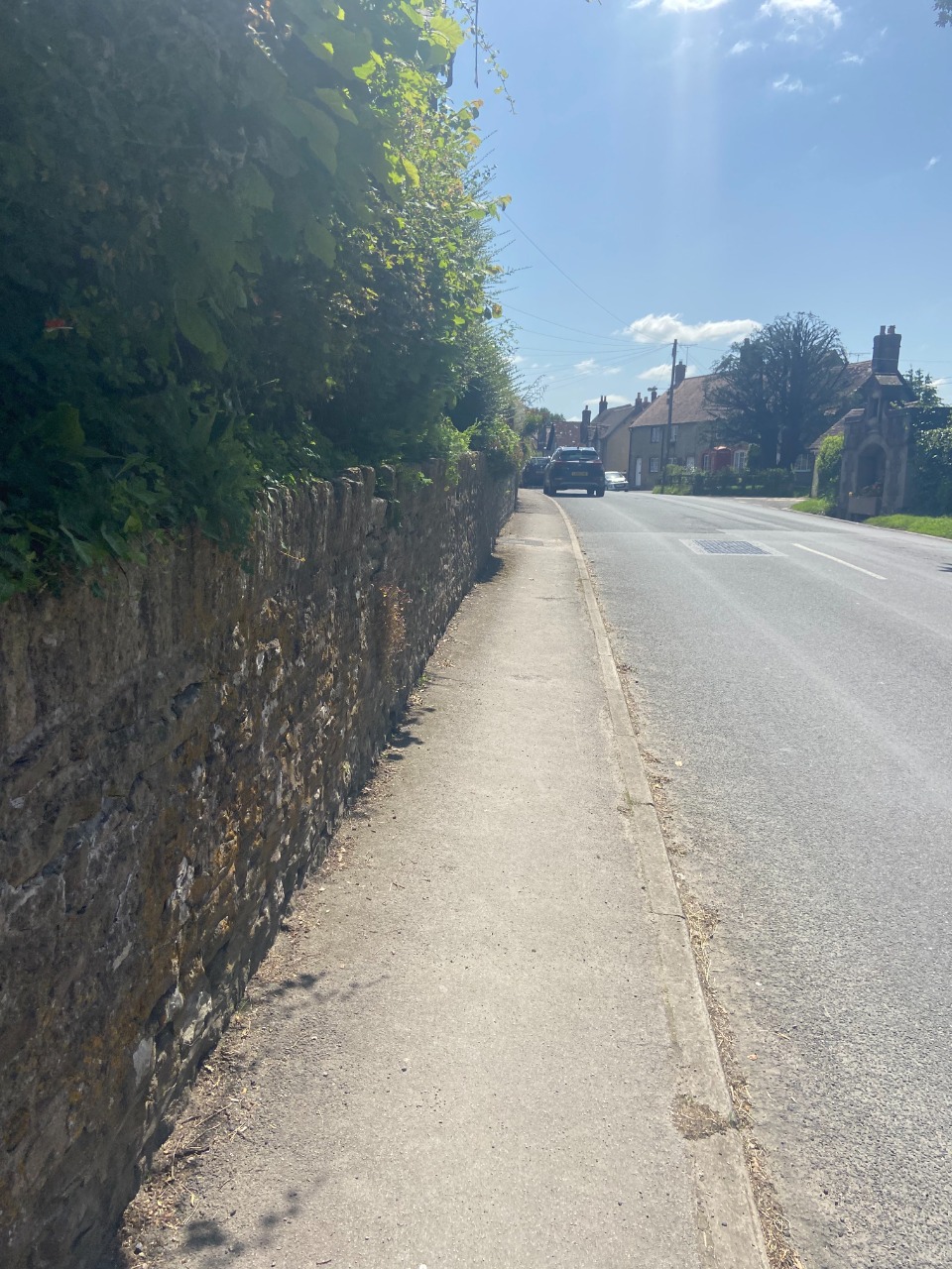
Road walking into Maiden Bradley was perfectly pleasant.
Overall, a good route, but the couple difficult navigation spots and overgrown paths made it tough to give it anything above three stars!.
-

Tim Ryan
13 Mar 2024Hi Mike, I hope you are well. Thanks for this review very comprehensive. Sounds like a good walk. Unfortunately your feelings about walking through the private estate are not without foundation. It appears that Longleat do not allow access on foot on what are Sustrans trails. Only on a bicycle. Needs further research, but thats the line just now. Fortunately Fromai two, does look a good option.
-
Share your thoughts
Share your views about this route, give it a star rating, indicate whether it should be verified or not.
Include information that will be useful to others considering to walk or wheel it.
You can add up to 15 photos.
Other Routes for Frome—Maiden Bradley See all Slow Ways
Review this better route and help establish a trusted network of walking routes.
Suggest a better route if it better meets our methodology.
Share your thoughts