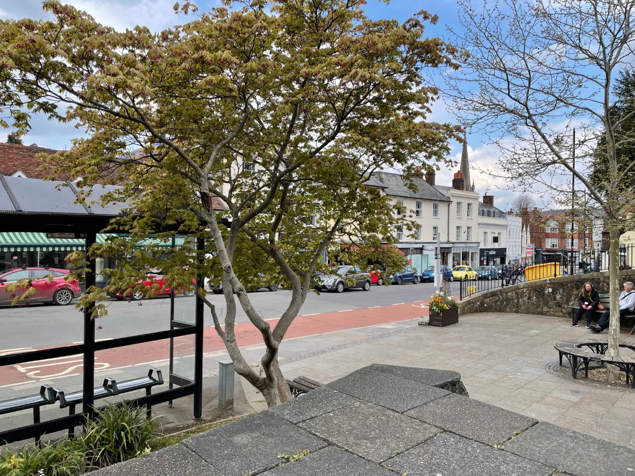
1. This is the start point in Dorking of Dorrei two from Dorking towards Reigate 0 km from start — 13 May 2021
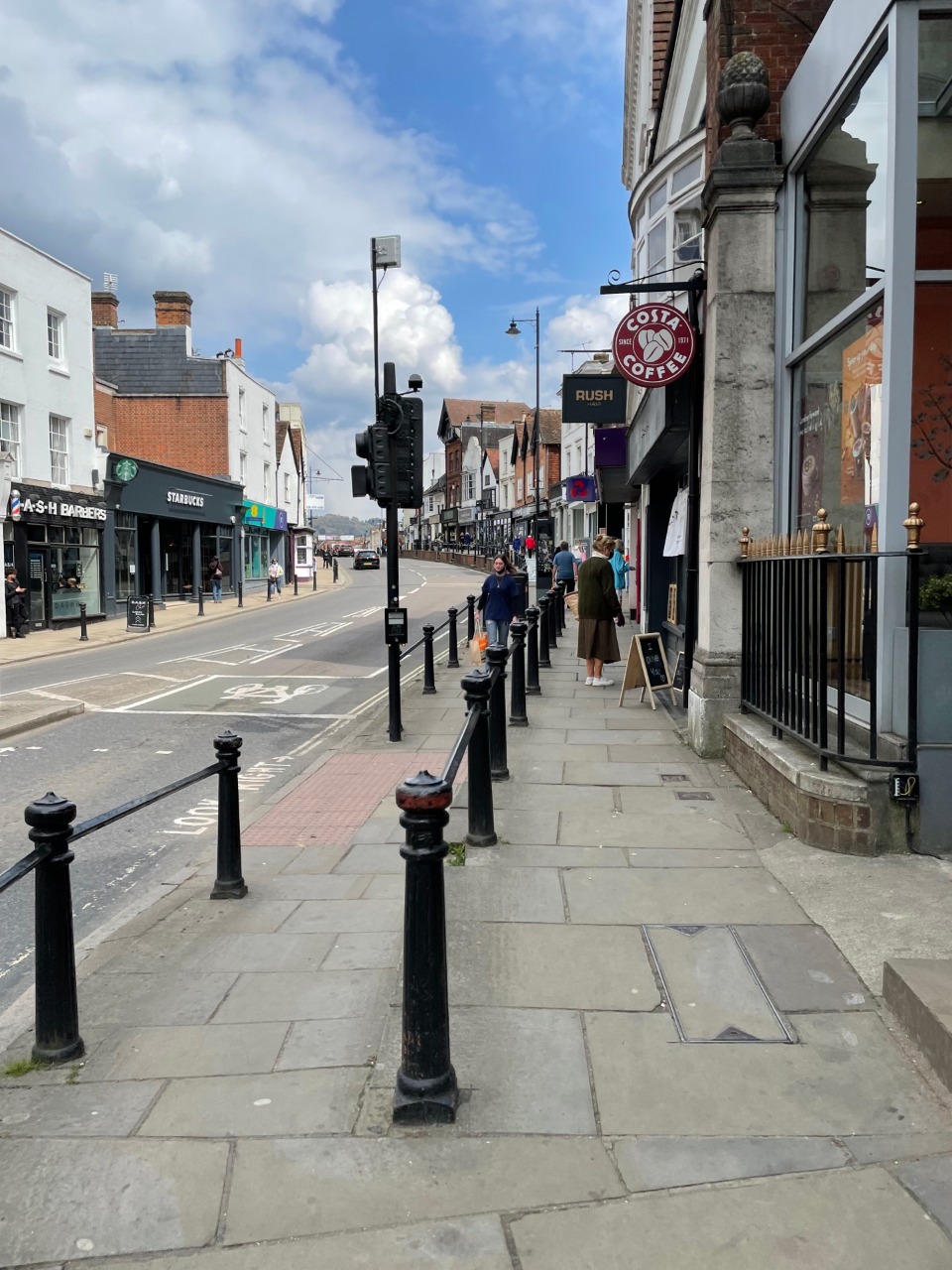
2. The pavement in Dorking's High Street has some narrow sections 0.1 km from start — 13 May 2021
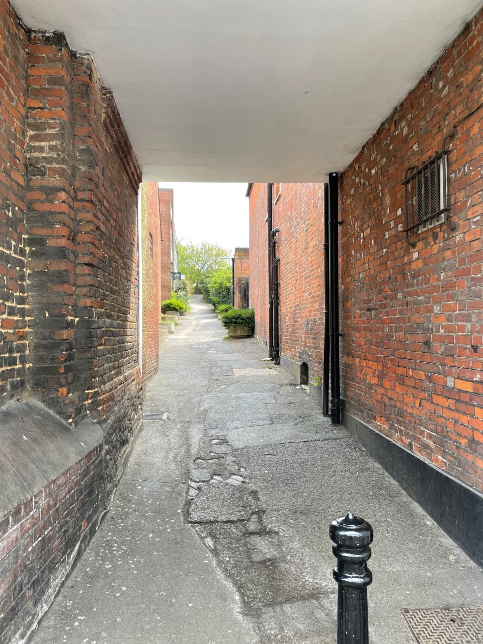
3. Follow the alley next to Robert Dyas to start the route proper out of Dorking 0.2 km from start — 13 May 2021
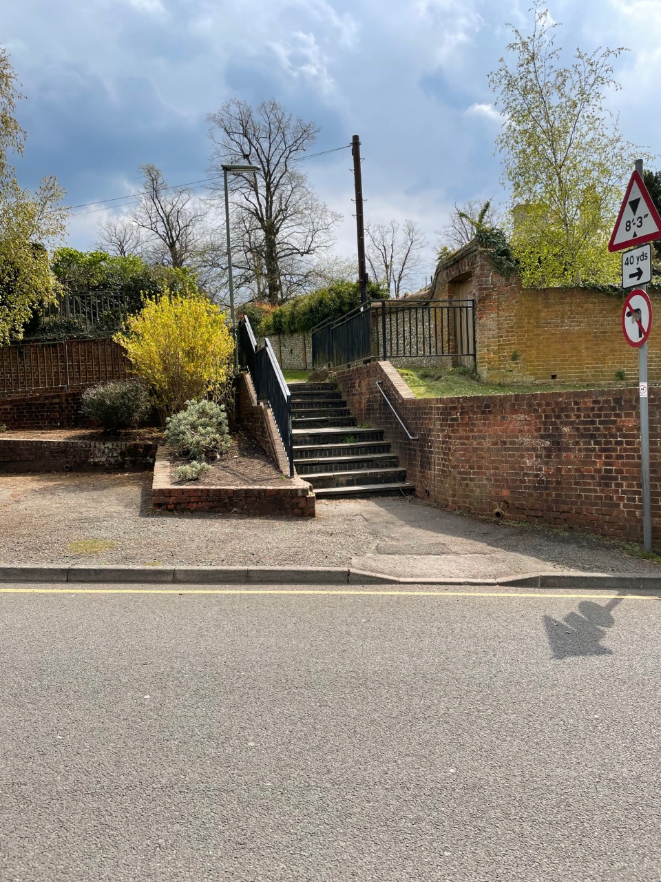
4. There are steps or a ramp to exit the car park at Marlborough Road 0.2 km from start — 13 May 2021
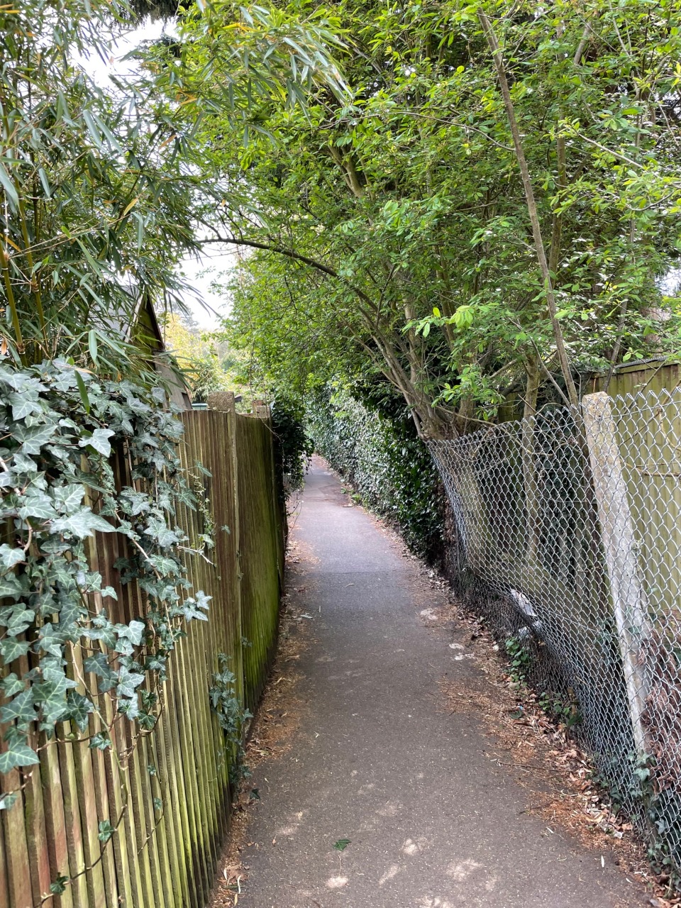
5. The alley behind Beresford Road has some overhanging trees 0.4 km from start — 13 May 2021

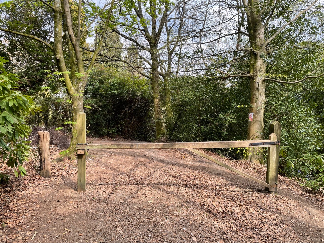
6. Turn left onto St Paul's Road East through this gate to follow Dorrei two 0.6 km from start — 13 May 2021
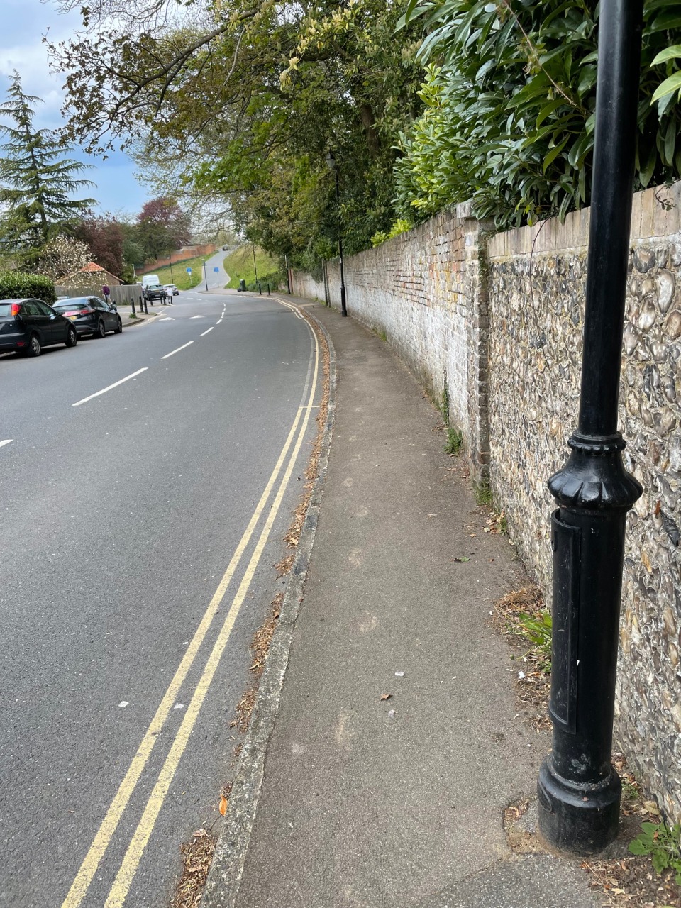
7. The pavement along Chart Lane here (looking back north towards Dorking) is one of the narrowest points on the route, although there is little traffic. 1.1 km from start — 13 May 2021
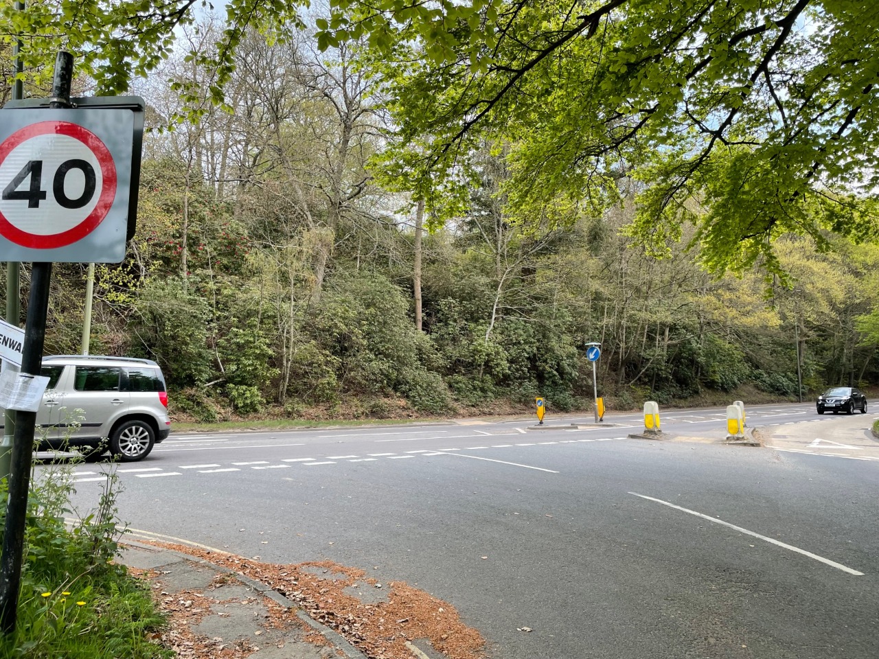
8. The crossing of the A24 at the junction with Chart Lane. Whilst there are dropped kerbs and a traffic island, the traffic is fast and the road is on a bend, so caution must be taken. 1.4 km from start — 13 May 2021
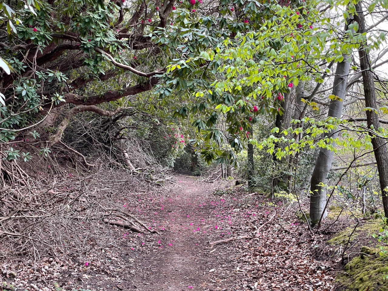
9. Route up from the A24 to Deepdene Terrace through rhodendrons. This is the steepest part of the route and includes some steps set into the hillside along with exposed tree roots. It is unsuitable for wheels. 1.6 km from start — 13 May 2021
10. Eastern exit from Deepdene Terrace 1.8 km from start — 13 May 2021
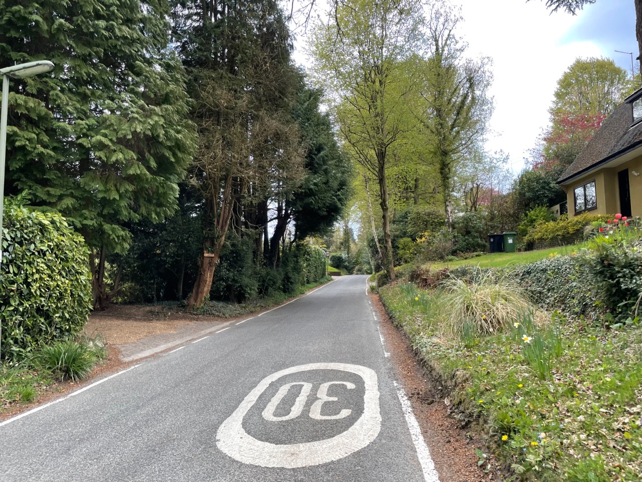
11. Road walking along Punchbowl Lane. This road isn't very busy but there is no pavement so take care. 2.6 km from start — 13 May 2021
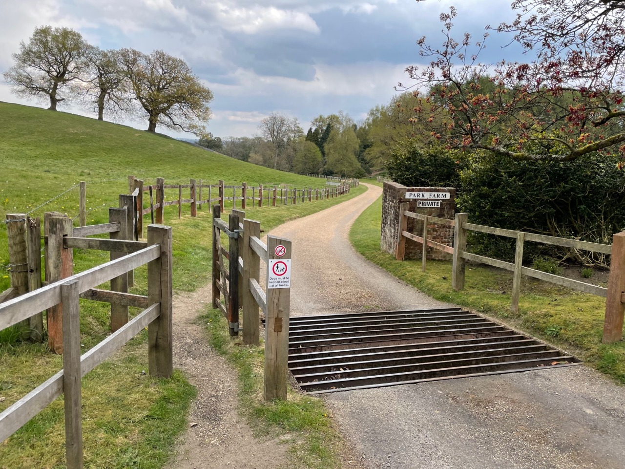
12. To head towards the next village (Brockham) you must enter Park Farm via this gate. The pedestrian gate is the narrowest obstacle on the route other than stiles. 2.7 km from start — 13 May 2021
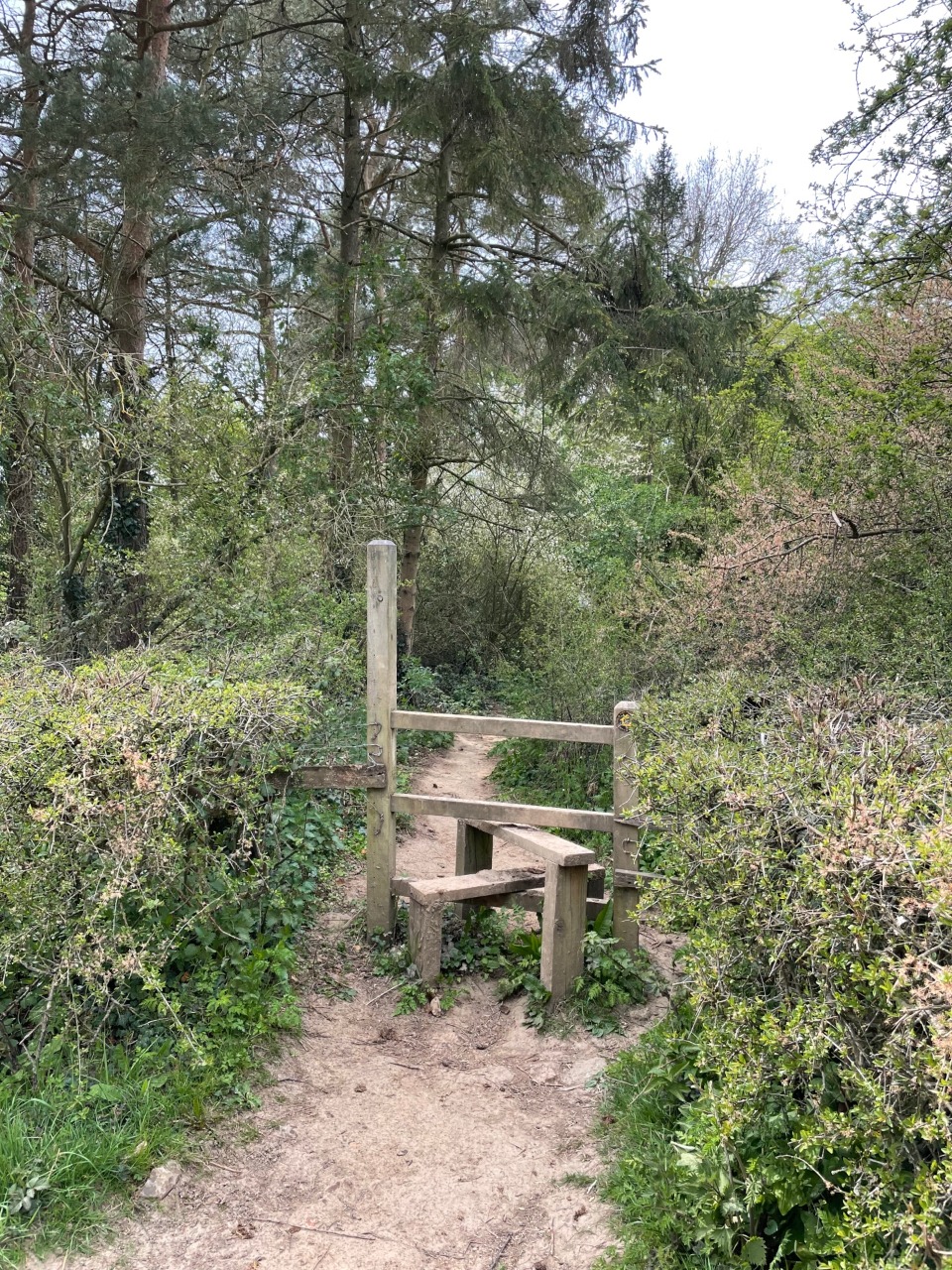
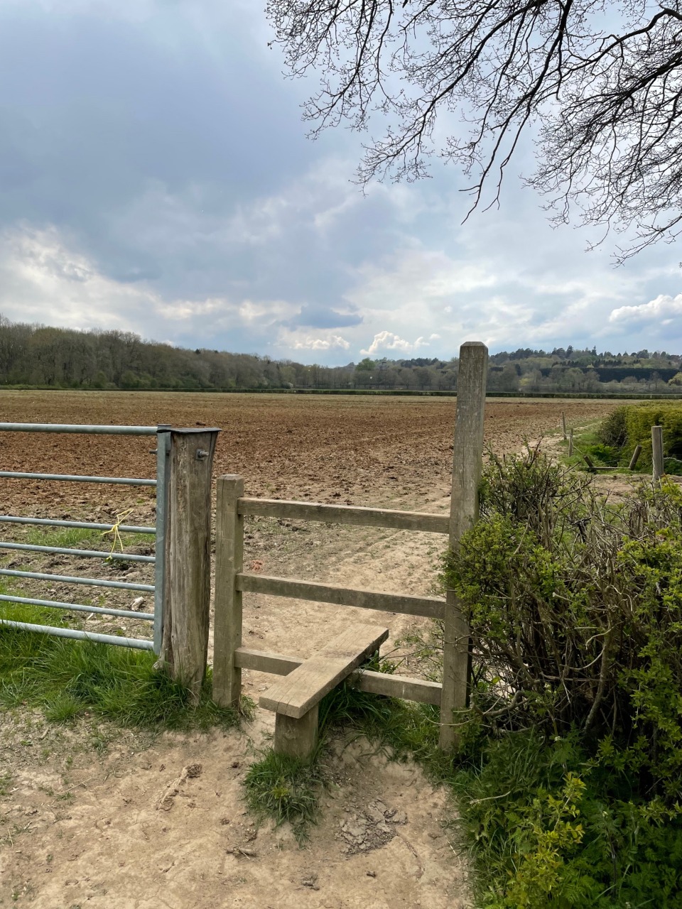
13. Stile between Park Farm in Reigate and Pondtail Farm in Brockham. 3.7 km from start — 13 May 2021
14. Stile on the approach to Pondtail Farm from the west 4 km from start — 13 May 2021
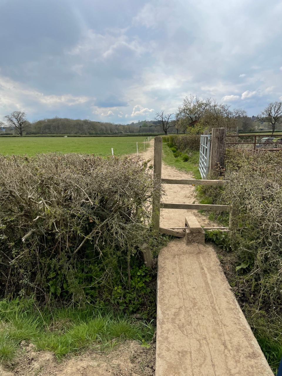
15. Stile and small bridge to cross into Pondtail Farm from the west 4.1 km from start — 13 May 2021
16. Stile in Pondtail Farm. At this point we diverted right out to Old School Lane rather than ahead towards the River Mole (the official route) to avoid cattle in the next field. 4.2 km from start — 13 May 2021
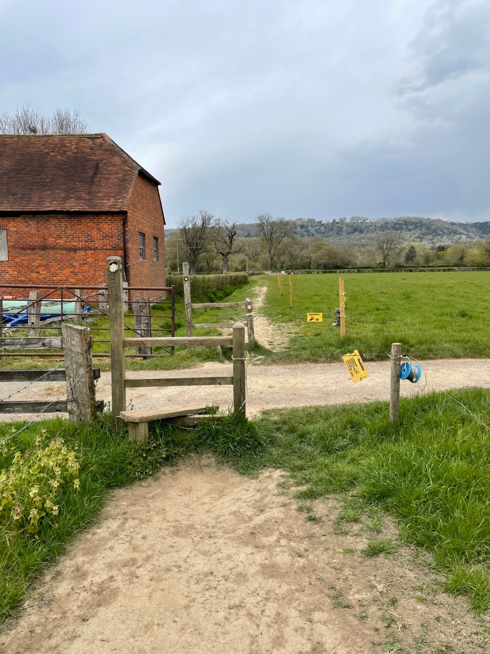
17. Gate at the eastern end of Brockham village - turn left following the Greensand Way signs towards the River Mole 5.1 km from start — 13 May 2021
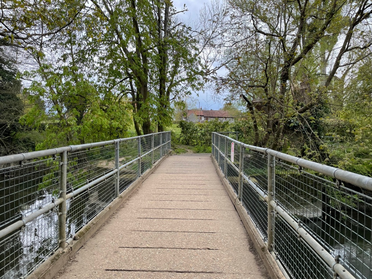
18. Bridge over the River Mole just northeast of Brockham village 5.3 km from start — 13 May 2021
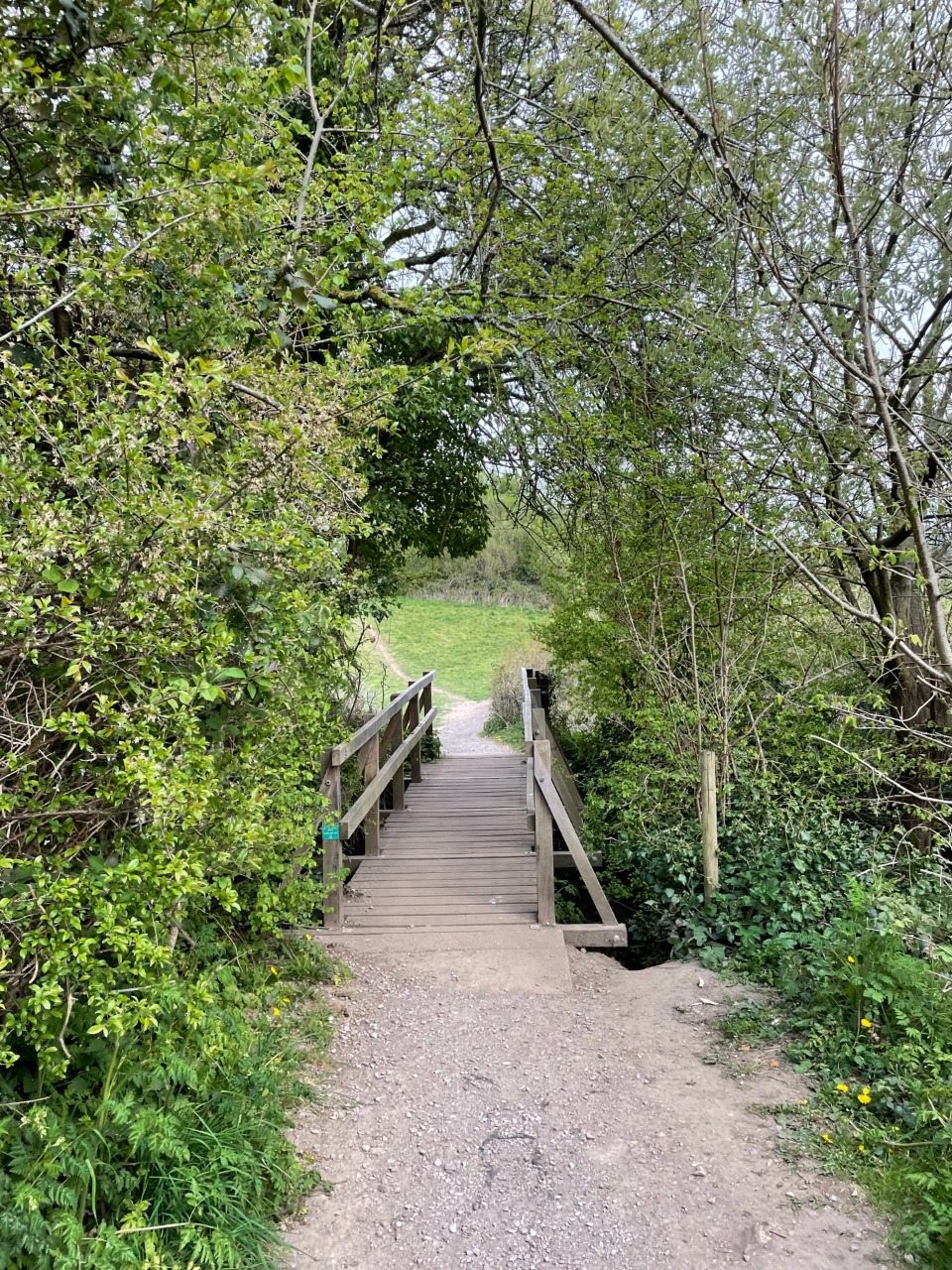
19. Small bridge at the eastern end of Poland Wood on the outskirts of Brockham village 5.7 km from start — 13 May 2021

20. Gate at eastern end of Poland Wood 5.8 km from start — 13 May 2021

21. Gate at eastern end of St Michael's Church in Betchworth, leading out to The Street and the Dolphin pub 6.5 km from start — 13 May 2021
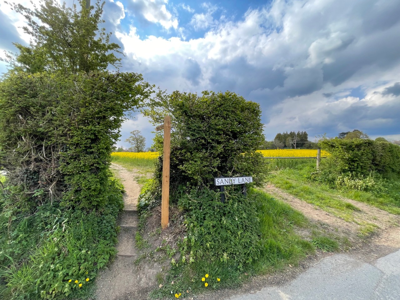
22. Southern end of Sandy Lane at junction with Wonham Lane, looking west towards Dorking and Betchworth. The 'official' route is through this rapeseed field although it is also possible to following the lane. 7 km from start — 13 May 2021
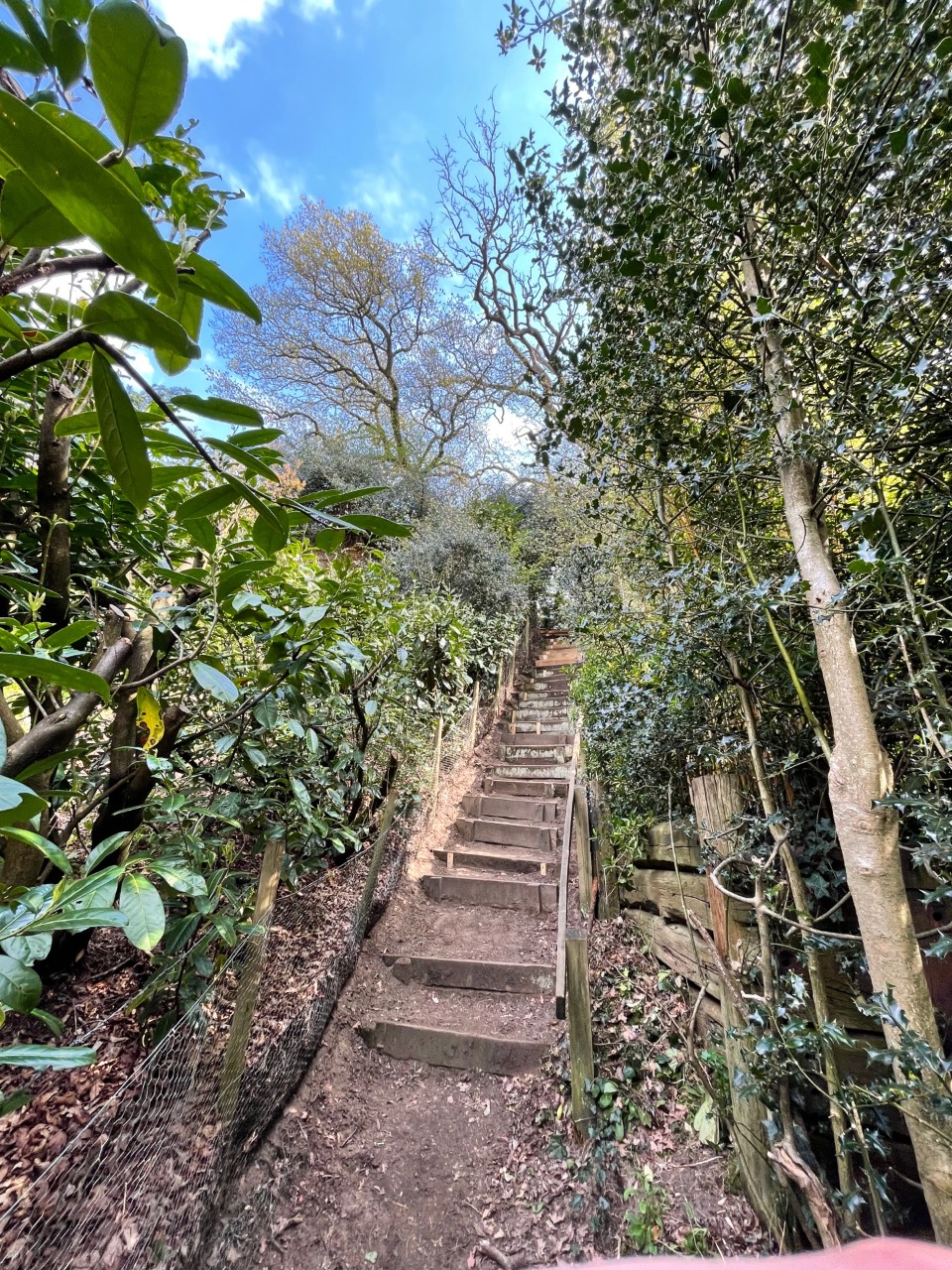
23. Steep steps up from Old Road in Betchworth, onto the Greensand Way. The steps climb a 30degree incline. 7.5 km from start — 13 May 2021
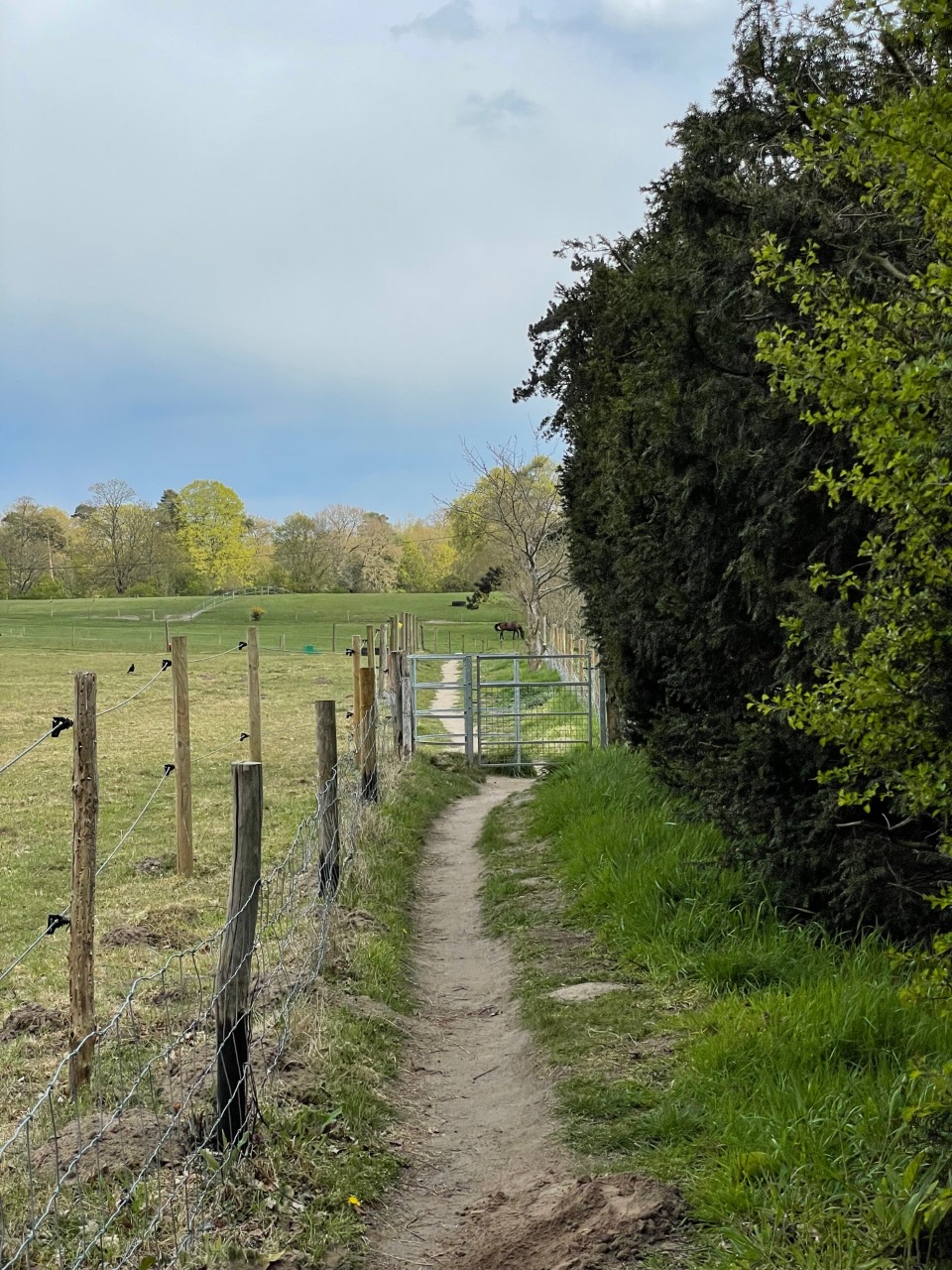
24. There are numerous stiles around this farm on the eastern edge of Betchworth. We diverted off the route slightly, around the fields with the horses. 7.7 km from start — 13 May 2021

25. Kissing gate at the entrance to farmland west of Dungates Lane. 8 km from start — 13 May 2021
-
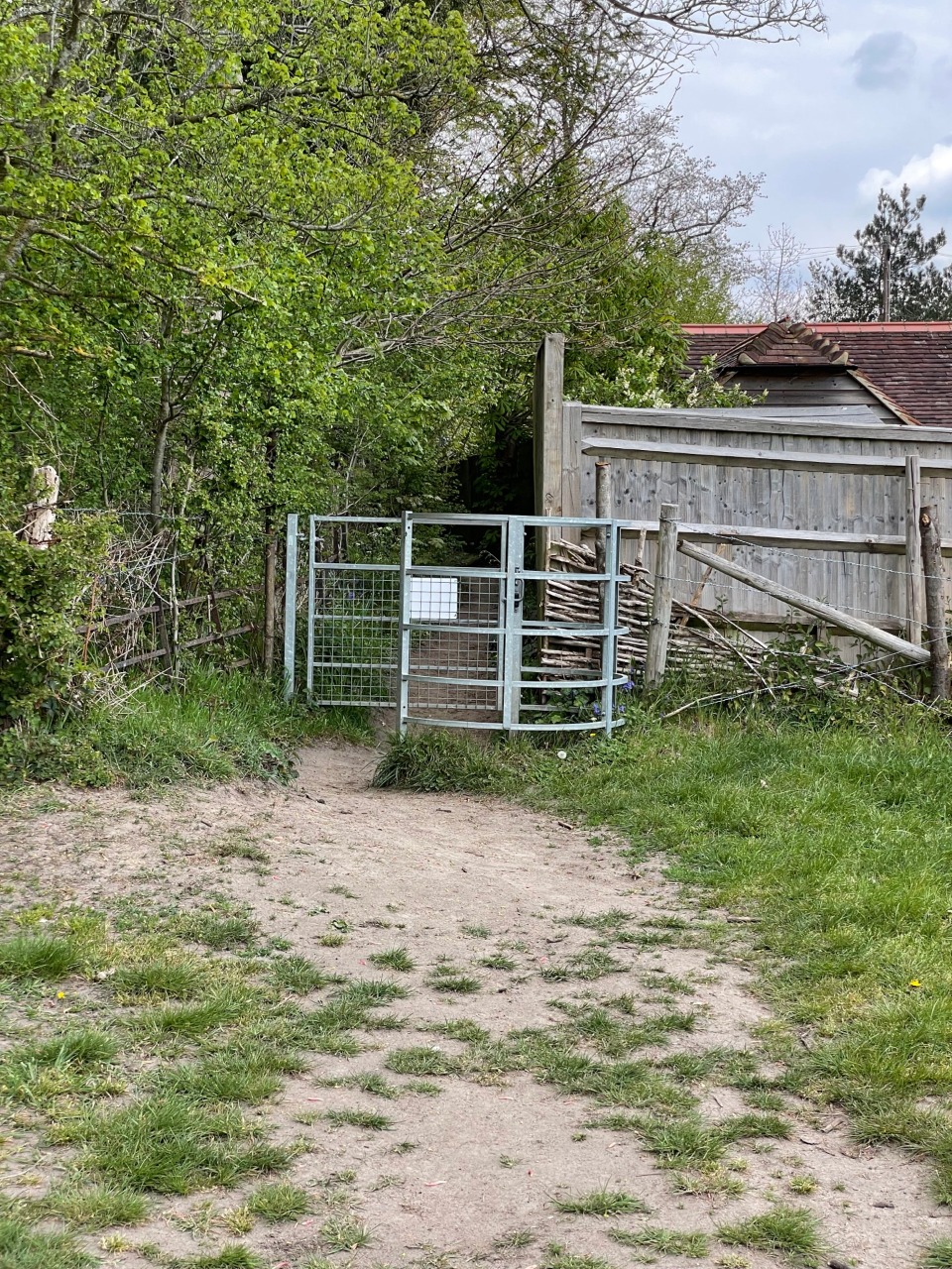
26. Kissing gate in farmland west of Dungates Lane 8.2 km from start — 13 May 2021
27. Kissing gate at exit onto/from Dungates Lane 8.5 km from start — 13 May 2021

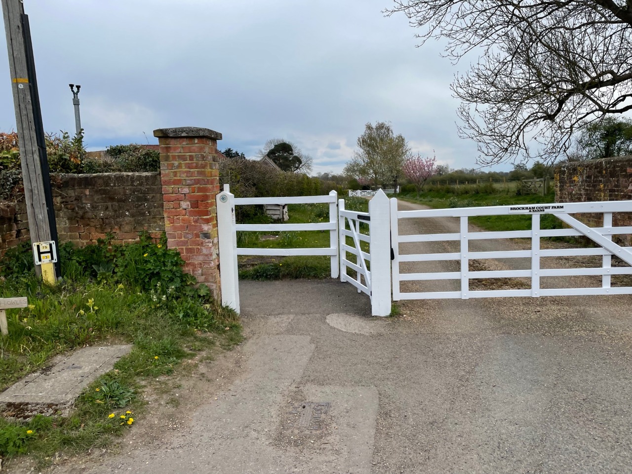
28. Exit from countryside onto Park Lane in Reigate. It is possible to avoid this gate by following Littleton Lane and Park Lane itself. The official route continues left down Park Lane into the town centre, but it is also possible to cross straight ahead into Priory Park for a more pleasant route into the centre. 11.7 km from start — 13 May 2021