Description
A more accurately plotted route and hence .gpx file. Also takes a short cut to keep the total distance within 17 miles and take in the Butchers Arms pub
A more accurately plotted route and hence .gpx file. Also takes a short cut to keep the total distance within 17 miles and take in the Butchers Arms pub
Status
This route has been reviewed by 3 people.
There are no issues flagged.
Photos for Herled two

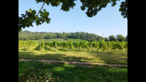


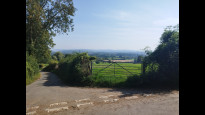


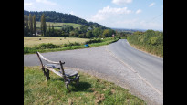
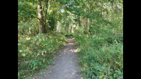
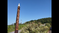
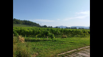
Photos of this route will appear when they are added to a review. You can review this route here.
Information
")
Route status - Live
Reviews - 3
Average rating -
Is this route good enough? - Yes (3)
There are currently no problems reported with this route.
Downloads - 11
Surveys
We are working to build-up a picture of what routes look like. To do that we are asking volunteers to survey routes so that we can communicate features, obstacles and challenges that may make a route desirable or not.
Slow Ways surveyors are asked to complete some basic online training, but they are not vetted. If you are dependent on the survey information being correct in order to complete a route, we recommend that you think critically about the information provided. You may also wish to wait until more than one survey has been completed.
Help people know more about this route by volunteering to submit a survey.
- Complete the survey training.
- Submit a survey for this route.
Geography information system (GIS) data
Total length
Maximum elevation
Minimum elevation
Start and end points
Hereford
Grid Ref
SO5119339982
Lat / Lon
52.05607° / -2.71324°
Easting / Northing
351,193E / 239,982N
What3Words
froze.prop.skinny
Ledbury
Grid Ref
SO7109737711
Lat / Lon
52.03705° / -2.42276°
Easting / Northing
371,097E / 237,711N
What3Words
cries.wool.eyelash
| Hereford | |
|---|---|
| Grid Ref | SO5119339982 |
| Lat / Lon | 52.05607° / -2.71324° |
| Easting / Northing | 351,193E / 239,982N |
| What3Words | froze.prop.skinny |
| Ledbury | |
|---|---|
| Grid Ref | SO7109737711 |
| Lat / Lon | 52.03705° / -2.42276° |
| Easting / Northing | 371,097E / 237,711N |
| What3Words | cries.wool.eyelash |
Sorry Land Cover data is not currently available for this route. Please check back later.
Other Routes for Hereford—Ledbury See all Slow Ways
Review this better route and help establish a trusted network of walking routes.
Suggest a better route if it better meets our methodology.