Brent Cross — Finchley Central
Brefin one

Verified Slow Way
Verified by 100.00% of reviewers
Verified Slow Way
Verified by 100.00% of reviewers
By a Slow Ways Volunteer on 07 Apr 2021
Description
This is a Slow Ways route connecting Brent Cross and Finchley Central.
Know of a better route? Share it here.
This is a Slow Ways route connecting Brent Cross and Finchley Central.
Know of a better route? Share it here.
Status
This route has been reviewed by 6 people.
There are no issues flagged.
Photos for Brefin one


Photos of this route will appear when they are added to a review. You can review this route here.
Information
Route status - Live
Reviews - 6
Average rating -
Is this route good enough? - Yes (6)
There are currently no problems reported with this route.
Downloads - 9
Surveys
What is this route like?
Surveys are submitted by fellow users of this website and show what you might expect from this Slow Ways route. Scroll down the page to read more detailed surveys.
| Grade 2X based on 1 surveys | Sign up or log in to survey this route. | ||
|---|---|---|---|
| Description | Note | ||
| Grade 2: Mostly smooth and compacted surfaces, but there may be some loose gravel, muddy patches or cobbles. Access grade X: At least one stile, flight of steps or other obstacle that is highly likely to block access for wheelchair and scooter users. |
Grading is based on average scores by surveyors. This slow way has 1 surveys. | ||
| Full grading description | |||
Only people who have completed our training can become Slow Ways surveyors and submit a survey. We do not vet contributors, so we cannot guarantee the quality or completeness of the surveys they complete. If you are dependent on the information being correct we recommend reading and comparing surveys before setting off.
Survey Photos
Facilities
Facilities in the middle third of this route.
Challenges
Potential challenges reported on this route. Some challenges are seasonal.
Obstacles
Obstacles on this route.
Accessibility
Is this route step and stile free?
Measurements
Surveyors were asked to measure the narrowest and steepest parts of paths.
The narrowest part of the path is 100.0cm (1)
The steepest uphill gradient walking East 21.0% (1)
The steepest uphill gradient walking West 20.0% (1)
The steepest camber gradient across the path 10.0% (1)
How clear is the waymarking on the route: Unclear in places (1)
Successfully completed
We asked route surveyors "Have you successfully completed this route with any of the following? If so, would you recommend it to someone with the same requirements?". Here is how they replied.
Recommended by an expert
We asked route surveyors "Are you a trained access professional, officer or expert? If so, is this route suitable for someone travelling with any of the following?" Here is how they replied.
Terrain
We asked route surveyors to estimate how much of the route goes through different kinds of terrain.
50.0% of the route is on roads (1)
90.0% of the route is lit at night (1)
100.0% of the route is paved (1)
10.0% of the route is muddy (1)
There is no data on rough ground
There is no data on long grass
Report a problem with this data
1 surveys
Information from verified surveys.
Geography information system (GIS) data
Total length
Maximum elevation
Minimum elevation
Start and end points
Brent Cross
Grid Ref
TQ2390787946
Lat / Lon
51.57677° / -0.21328°
Easting / Northing
523,907E / 187,946N
What3Words
broken.dices.talked
Finchley Central
Grid Ref
TQ2528590691
Lat / Lon
51.60114° / -0.19242°
Easting / Northing
525,285E / 190,691N
What3Words
advice.frames.jumpy
Brefin One's land is
| Brent Cross | |
|---|---|
| Grid Ref | TQ2390787946 |
| Lat / Lon | 51.57677° / -0.21328° |
| Easting / Northing | 523,907E / 187,946N |
| What3Words | broken.dices.talked |
| Finchley Central | |
|---|---|
| Grid Ref | TQ2528590691 |
| Lat / Lon | 51.60114° / -0.19242° |
| Easting / Northing | 525,285E / 190,691N |
| What3Words | advice.frames.jumpy |
| Urban | 100.0% |
Data: Corine Land Cover (CLC) 2018
reviews
Jennifer Godwin
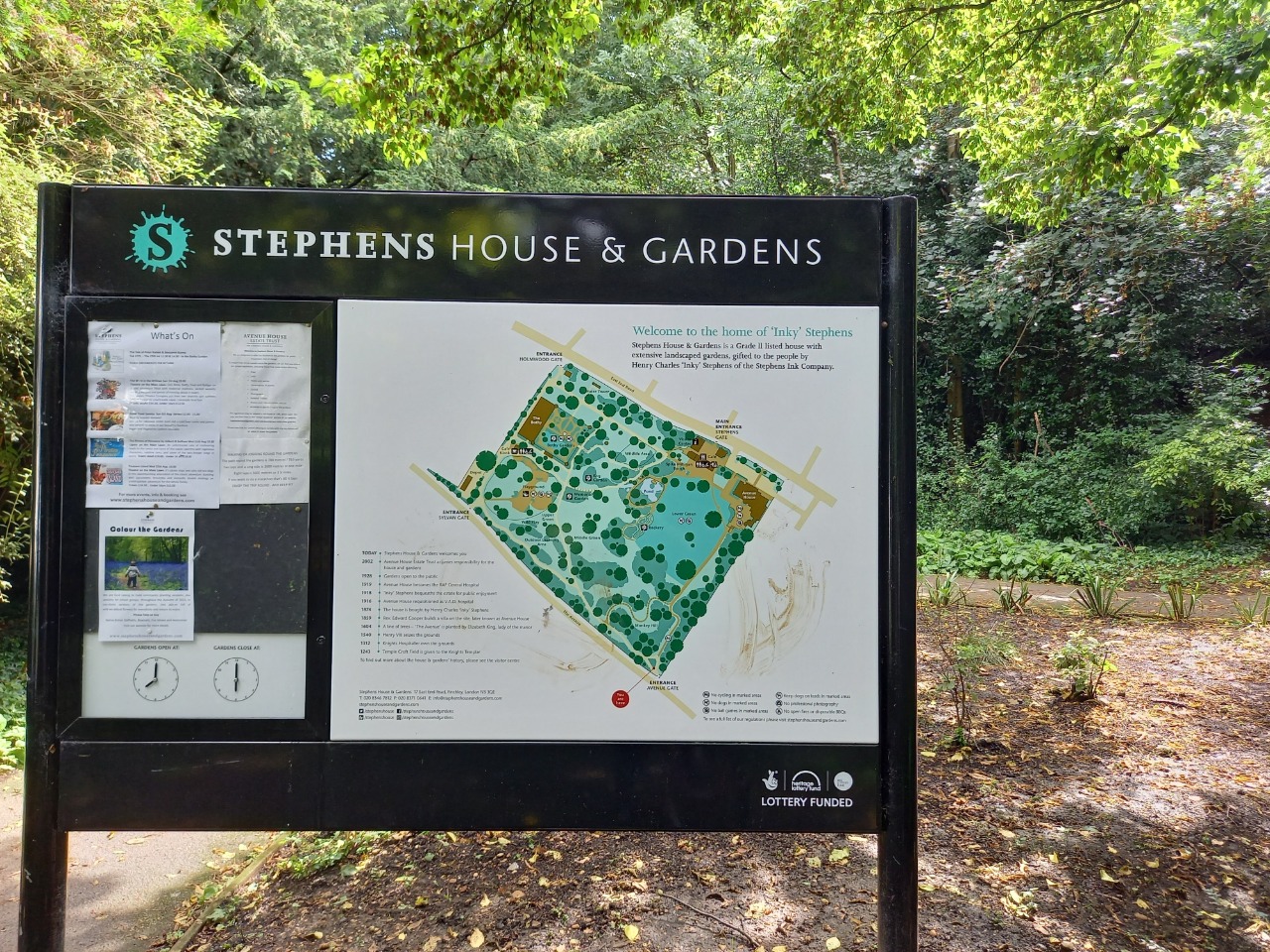
11 Nov 2023I took the opportunity to walk around Strphens house and grounds. Been walking the area all year and had never visited this little gem.
Ben
13 Aug 2023A great little walk from Brent Cross Station. Easy to walk and follow.
Brent Park and Mutton Brook being the highlights and worth a little A-Road time to connect them.
Could find some slightly quieter roads off the main roads between parkland areas - but no major issues.
-
Share your thoughts
Rebecca Lyon
13 Aug 2023This is a real hidden gem of a route! It invites you to sidestep the busy A roads and take in a range of ecological spaces from the Mutton Brook, College Rare Breeds Farm, the Dollis Brook and Stephen's House and Gardens. I have given it a 4 because there are some busy roads / stretches of suburbia to cross but it is otherwise a fantastic alternative to public transport.
-
Share your thoughts
Paul Salman
10 Feb 2023The route doesn’t finish in the correct place, if you are trying to get to the main shopping Centre. The route could also use side roads which a quieter, but this may be longer.
Generally, the route is good!.
-
Share your thoughts
Derick Rethans
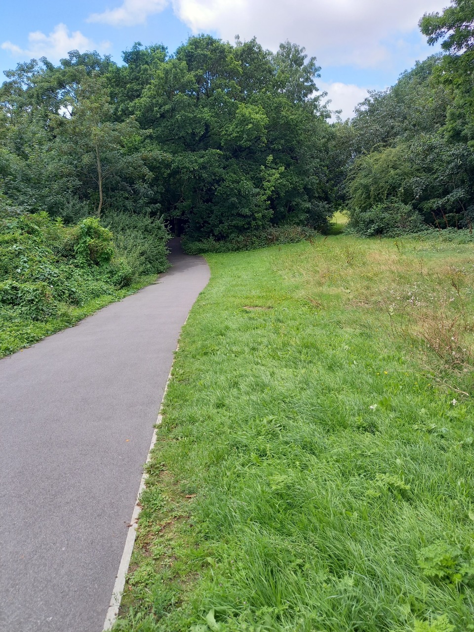
06 Mar 2022A varied walk with urban pavements and some parts. It follows the Capital Ring in some places, and the Dollis Valley Walk (well worth doing all of that!). The section along Mutton Brook and the River Brent were the nicest parts.
I had some issues near Stephen's House and Gardens as the normal entrance was closed (for repairs), but one further to the East worked as well. If the gardens are closed, then you can avoid it by using Regent's Park Road, although that isn't as nice as it has heavier traffic.
-
Share your thoughts
Strider
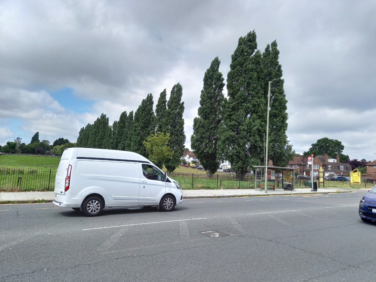
10 Aug 2021About 50/50 residential road walking and lovely parklands.
The roads are typical NW London suburban roads but with some suprises.
One Park is Stephen's House and Gardens which is closed in the evening/night and for random events but is beautiful and has a café. If closed carry on along the A598 Finchley Rd to bypass it.
The second 'park' follows the Capital Ring (signposted) for a way along beside busy roads then along the Dollis Valley Greenwalk and through Brent Park to a busy crossing close to Brent Cross Tube.
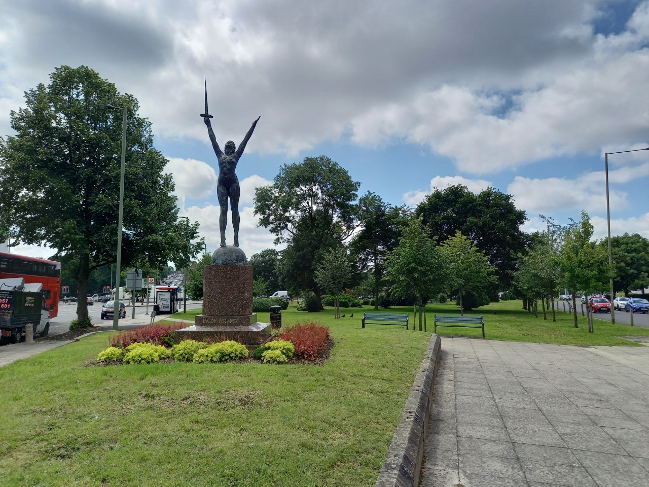
An enjoyable walk, surprise statues, farms and waterways make this feel quite rural in places.
-
Share your thoughts
Share your views about this route, give it a star rating, indicate whether it should be verified or not.
Include information that will be useful to others considering to walk or wheel it.
You can add up to 15 photos.
Other Routes for Brent Cross—Finchley Central See all Slow Ways
Review this better route and help establish a trusted network of walking routes.
Suggest a better route if it better meets our methodology.
Share your thoughts