
1. I walked this route from Rugby to West Haddon. Up to this photo, it's all on pavement. This photo shows the short track to the canal path. 2.1 km from start — 24 Apr 2024

2. Canal path in Rugby. 2.3 km from start — 24 Apr 2024

3. An example of some of the bumpy roots along the canal path in Rugby. 2.4 km from start — 24 Apr 2024

4. This photo shows how the canal path is muddier in some places - this can be quite slippery in wet weather. As a whole, the canal varies between hard, packed mud, gravel, and looser mud. 2.95 km from start — 24 Apr 2024
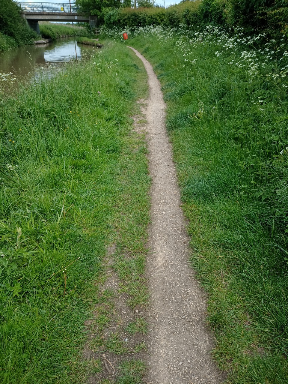
5. The canal path is quite narrow in places. 3.56 km from start — 24 Apr 2024
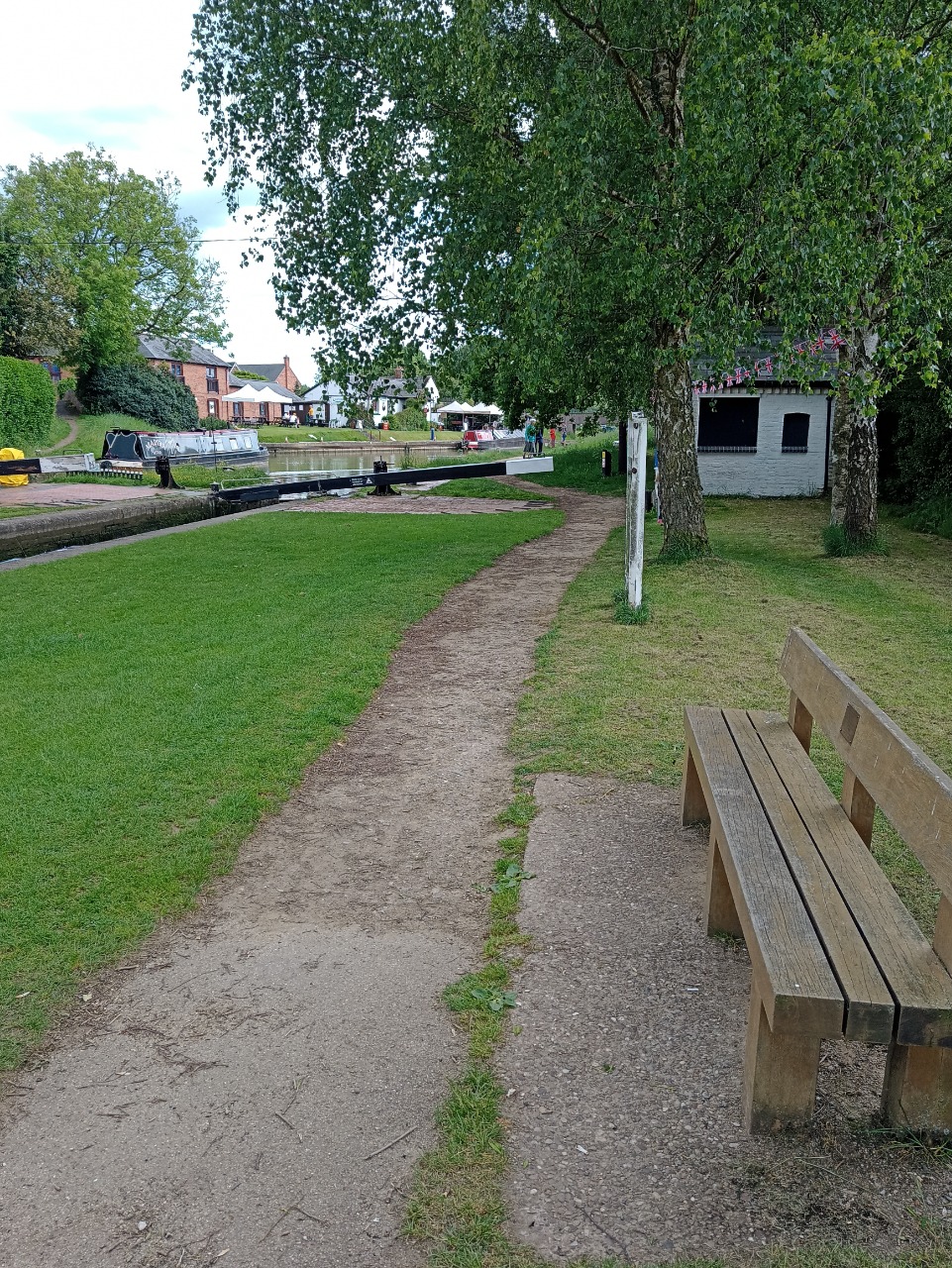
6. The locks in Hilmorton, where the route leaves the canal. Take a left when you leave the canal path. Just over the other side of the canal you can see a cafe/bar. 4.51 km from start — 24 Apr 2024

7. Just after you leave the canal there is a short stretch of road - maybe a fifth of a mile - and the pavements are usually blocked by cars. 4.68 km from start — 24 Apr 2024
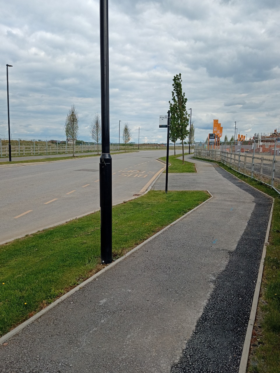
8. Wide, generally good quality paths take you through the new town of Houlton. 5.25 km from start — 24 Apr 2024

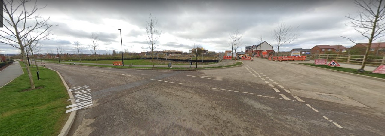
9. Houlton is a new town and some of the paths and roads are not yet open. So, you will need to take a slightly different route through the town. From the first roundabout you encounter, instead of taking a north route 'over' the town, take a right onto Station Avenue, then a left onto Maine Street. Then turn right by the kids play area onto Dollman Road, to get you onto the Crick Road. The next few photos, using Google streetview, will show the route to take. 7.68 km from start — 24 Apr 2024
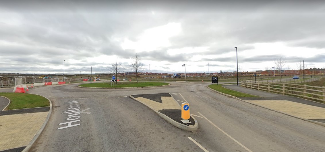
10. Go right at this roundabout, not straight over. 7.6 km from start — 24 Apr 2024
11. Take this left onto Maine Street 7.7 km from start — 24 Apr 2024

12. Take this right onto Dollman Road. You can see the kids play area on the right. 7.8 km from start — 24 Apr 2024

13. After leaving Houlton, you need to walk on the narrow verge of the Crick Road for a short way, maybe a fifth of a mile. 7.9 km from start — 24 Apr 2024

14. From the verge on the Crick Road, you can join a well paved footpath for a time. It looks like a building site but the door-sized entryway you see here is the route to the public footpath. It takes you alongside the Crick Road for a way, before you rejoin pavements alongside the road. 8.21 km from start — 24 Apr 2024
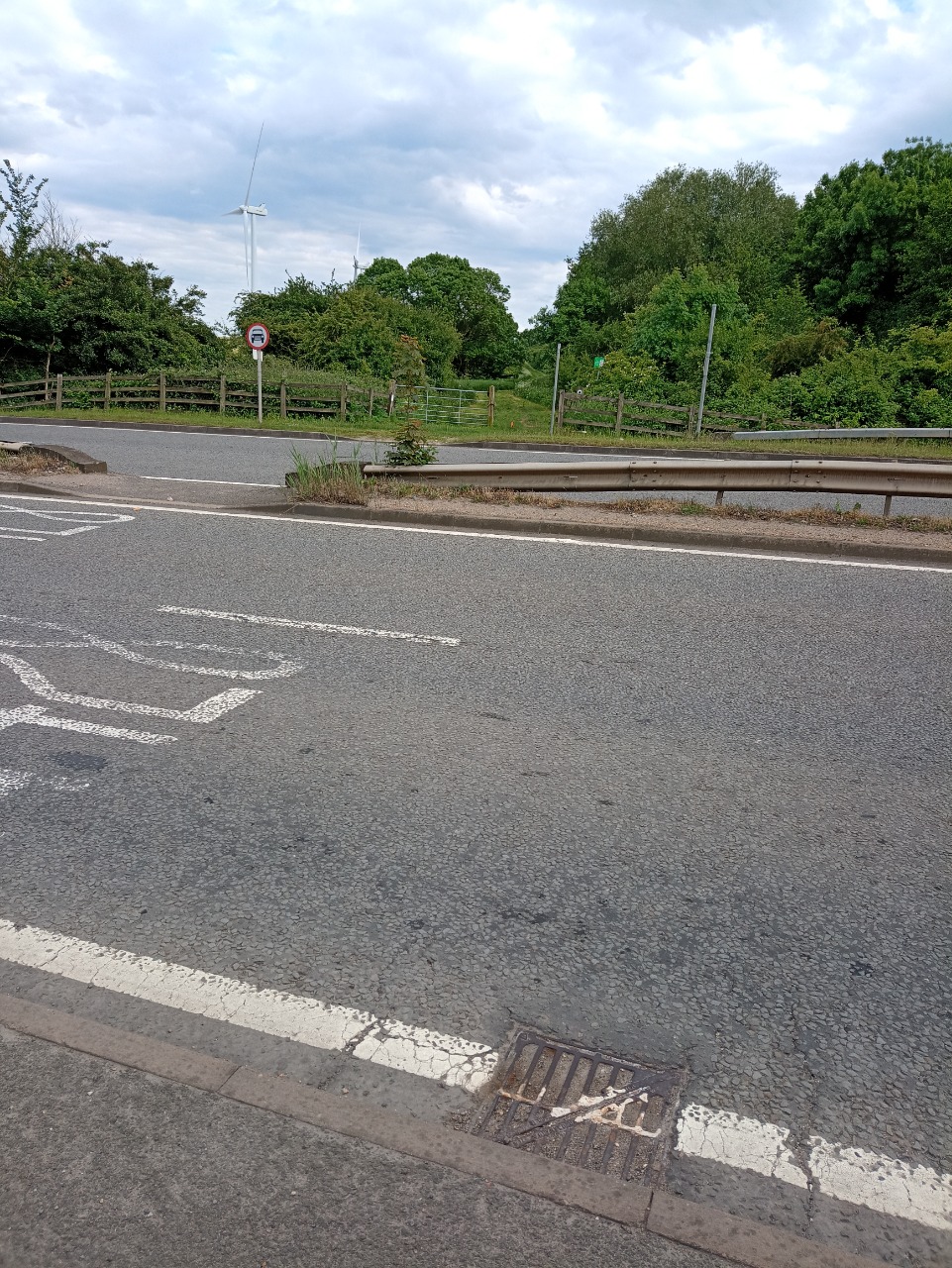
15. At this point, you need to cross the busy road to join the grassy byway/bridleway. 9.41 km from start — 24 Apr 2024
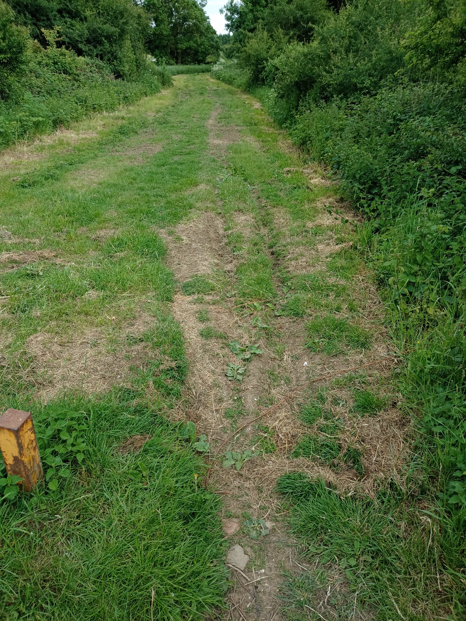
16. Typical grassy/muddy terrain on the byway/bridleway. It is narrow and fairly steep at some points. 9.41 km from start — 24 Apr 2024
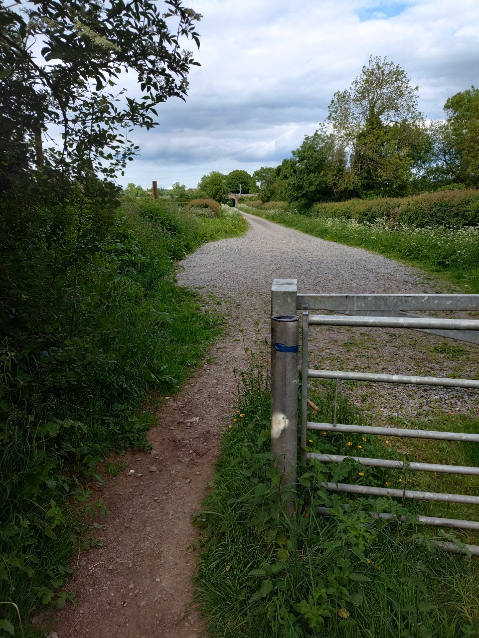
17. This bumpy, gravelly path takes you into Crick village. 10.54 km from start — 24 Apr 2024
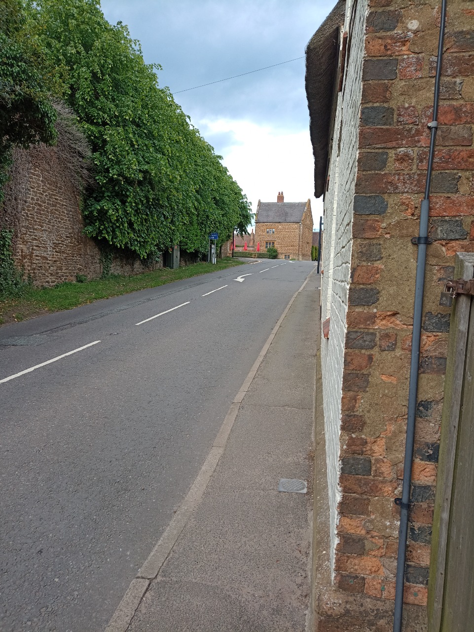
18. Uphill into Crick. There are some narrow sections of pavement. At the top of the hill here, there is a Co-op and a pub. 12.04 km from start — 24 Apr 2024
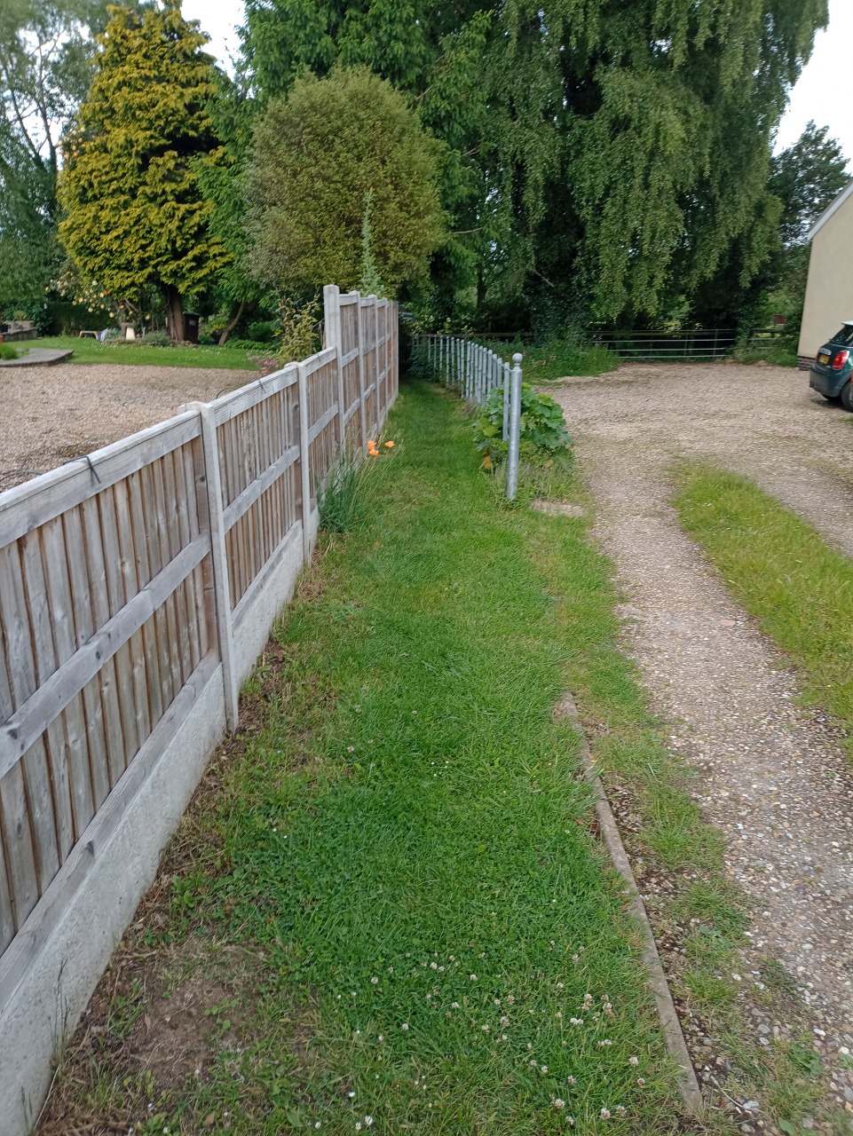
19. From the back streets of Crick, this is where you join the public footpath to West Haddon. It gets a bit tricky from here. 12.59 km from start — 24 Apr 2024

20. This is one of a number of tricky styles between Crick and West Haddon. I won't upload pics of them all - suffice to say, they are impassable to wheelchairs, pushchairs etc. 12.63 km from start — 24 Apr 2024
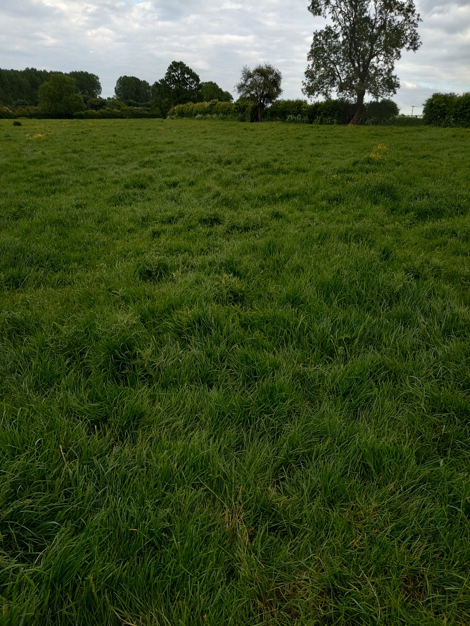
21. Unmarked route through a grassy cow field, still near Crick. There's no path here really - and there's lots of thistles. Although, the grass is a bit shorter and easier to walk through near the hedge on the right in the photo. You're heading for the top right corner of this field as you look at the pic. 12.7 km from start — 24 Apr 2024

22. After you leave the field in the previous pic, there is a section of very long grass to wade through. 12.96 km from start — 24 Apr 2024
23. Whoever is responsible for these things has decided to build the fence so that there is hardly any width on the footpath. The next pic is even worse! 13.12 km from start — 24 Apr 2024

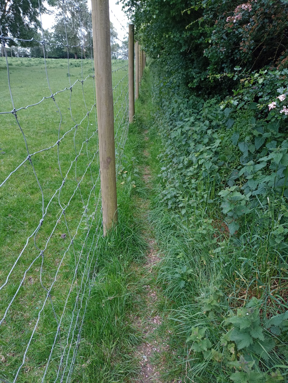
24. Here you can see that again, the fence has been built so that there is hardly any room to walk. I estimated the path to be about 20cm wide here, but you could argue there is no path at all. 13.5 km from start — 24 Apr 2024
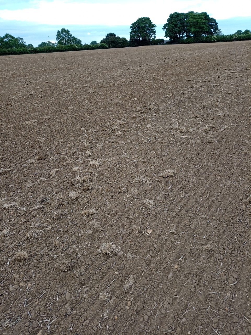
25. You have to cross this ploughed/crop field. There is no route round the outside of the field. 13.6 km from start — 24 Apr 2024
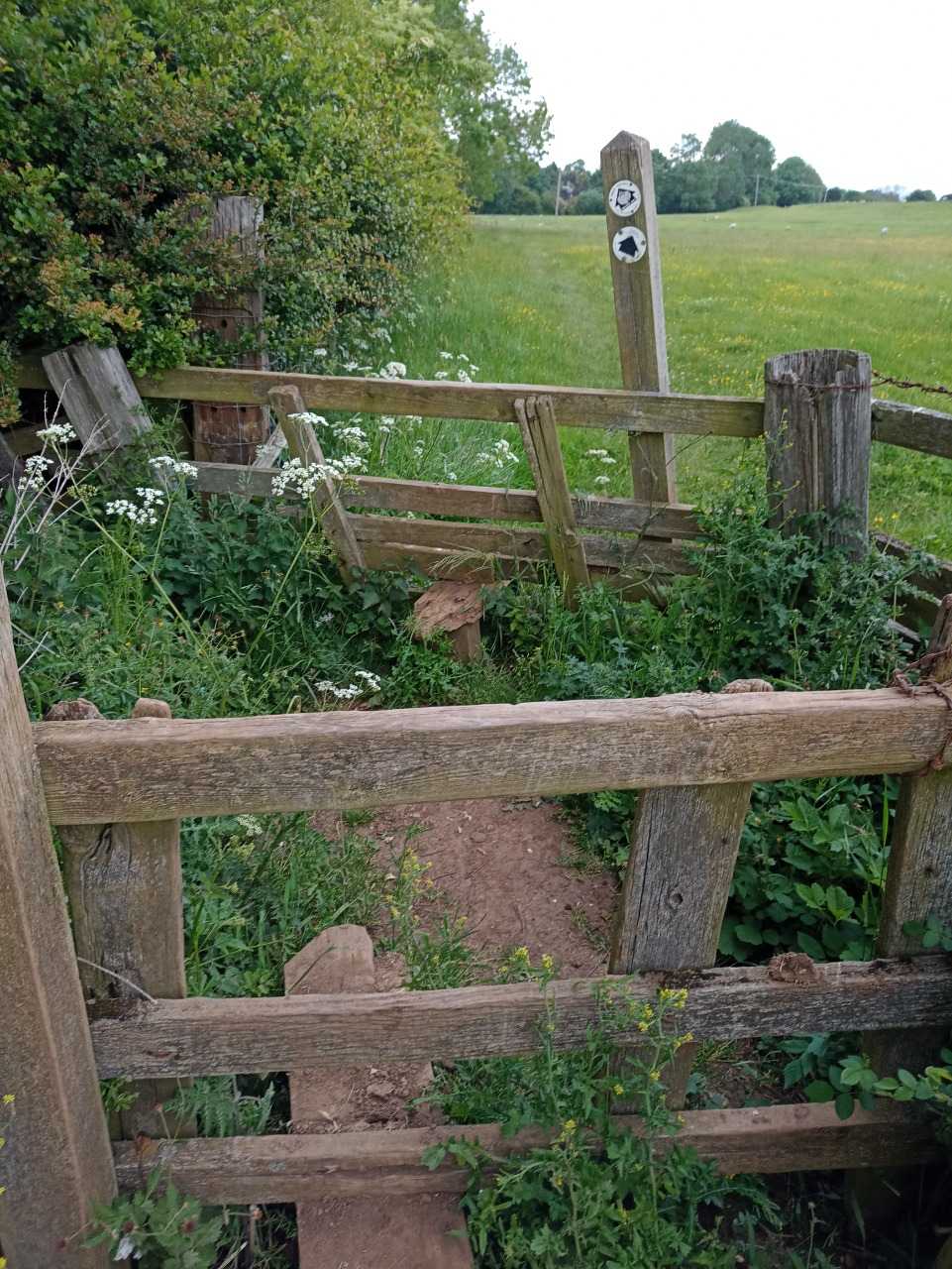
26. Double-stile (there is a kissing gate and another stile before this one). Crossing this sheep field takes you to the rear of the West Haddon village hall, then you're virtually home and dry. Phew! 16 km from start — 24 Apr 2024