
1. Subway heading into the path around Daventry Country Park 0.8 km from start — 21 Jun 2021

2. Footbridge on the Daventry Country Park path. 0.9 km from start — 21 Jun 2021
-
3. Footbridge on the Daventry Country Park path. 0.9 km from start — 21 Jun 2021
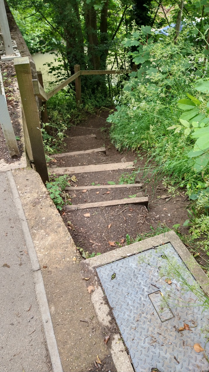
4. Steep, potentially slippy steps down onto the canal path at the edge of Daventry. 3.07 km from start — 21 Jun 2021
-
5. Steep, potentially slippy steps down onto the canal path at the edge of Daventry. 3.07 km from start — 21 Jun 2021

6. Canal path - generally good quality but some patches can be wet and muddy. 4.26 km from start — 21 Jun 2021

7. Steps taking you off the canal path. 5.3 km from start — 21 Jun 2021
-
8. Steps taking you off the canal path. 5.3 km from start — 21 Jun 2021

9. Footbridge over the canal, near the New Inn pub. If you want to avoid this bridge you can stay on the right side of the canal and go right past the tables outside the New Inn pub. 5.7 km from start — 21 Jun 2021
-
10. Footbridge over the canal, near the New Inn pub. If you want to avoid this bridge you can stay on the right side of the canal and go right past the tables outside the New Inn pub. 5.7 km from start — 21 Jun 2021

11. The New Inn pub on the canal. They do pub grub. 5.8 km from start — 21 Jun 2021

12. Busy road by the pub that you need to cross. You then need to walk a few dozen yards along a narrow verge to join the next footpath. 5.87 km from start — 21 Jun 2021

13. I believe these are called "sheep". 6 km from start — 21 Jun 2021

14. This gate drags on the ground so has to be lifted to be opened. 6.1 km from start — 21 Jun 2021

15. Footbridge with a narrow V shaped entry - probably the narrowest obstacle on the route. 6.2 km from start — 21 Jun 2021
-
16. Footbridge with a narrow V shaped entry - probably the narrowest obstacle on the route. 6.2 km from start — 21 Jun 2021

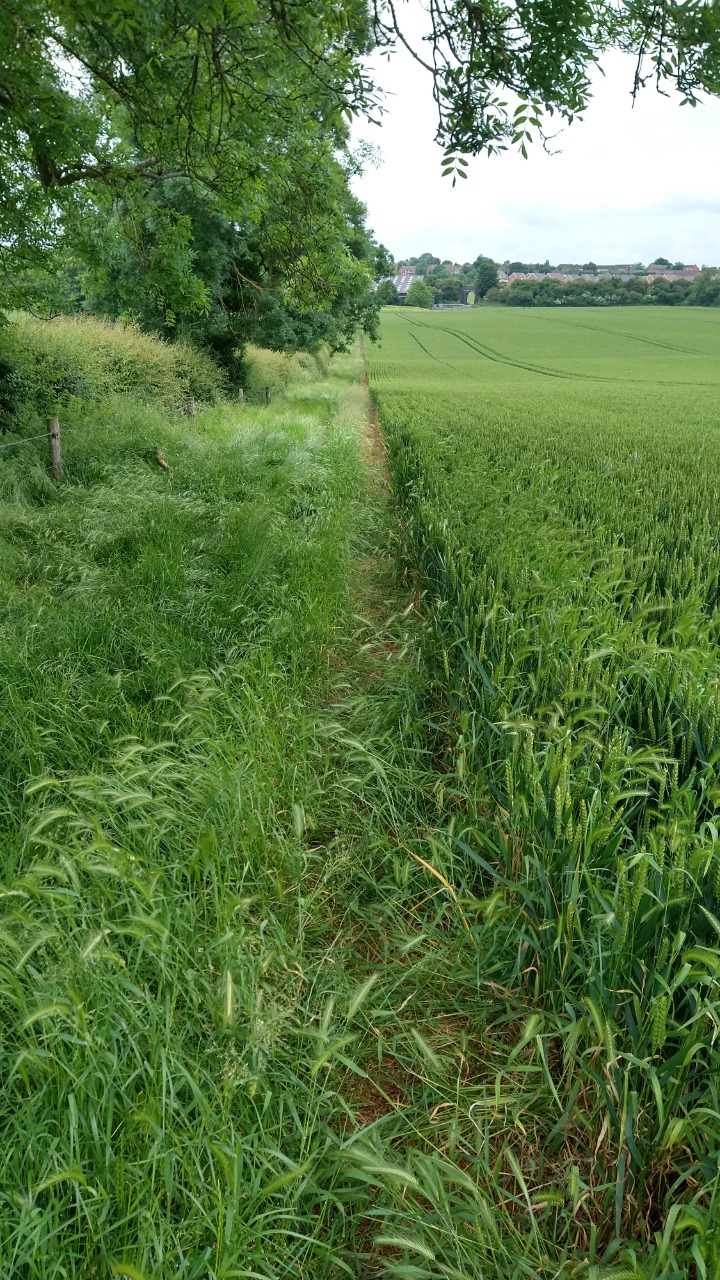
17. Narrow path through crop 6.4 km from start — 21 Jun 2021

18. The route takes you through this hole in the hedge over a wobbly stile - easy to miss. 7.4 km from start — 21 Jun 2021
-
19. The route takes you through this hole in the hedge over a wobbly stile - easy to miss. 7.4 km from start — 21 Jun 2021
20. Section with some long grass to wade through - the path is re-routed around the edge of fields in some places due to the crops. 7.5 km from start — 21 Jun 2021

21. Cow field heading into Long Buckby. 8 km from start — 21 Jun 2021

22. King's Head pub in Long Buckby 8.9 km from start — 21 Jun 2021

23. This sign says there may be a bull in the field - I didn't see him thankfully! If you want to avoid this field, you could instead take the footpath that heads out the back of the St Lawrence Church - that's probably a better route in terms of terrain also. 9.4 km from start — 21 Jun 2021

24. The back road between Long Buckby and West Haddon. Not too busy but narrow in places so take care. 11 km from start — 21 Jun 2021