
1. This survey was walked from Barton to Longridge. This is one of a few kissing gates encountered on leaving Barton village 0 km from start — 13 May 2021
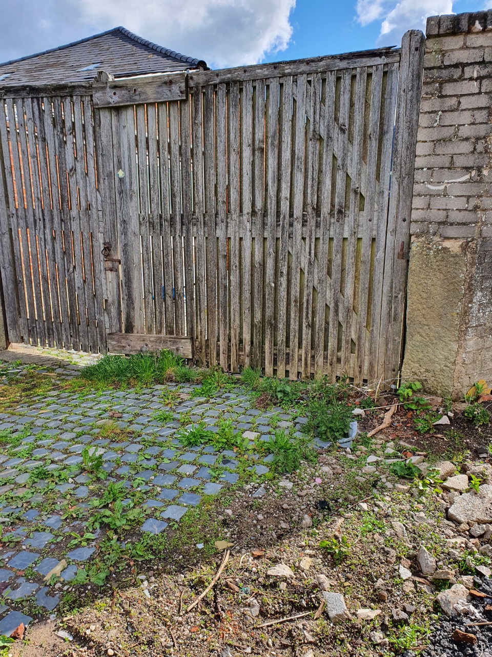
2. Some of the signposting in the "farm" yards is not immediately obvious 1 km from start — 13 May 2021

3. One of a number of narrow bridges with steps, crossing streams and field ditches. 1 km from start — 13 May 2021

4. Sections of the path can be muddy after rain, although still passable 1.5 km from start — 13 May 2021

5. The bridge across the motorway. There is no alternative route to avoid these steps 2 km from start — 13 May 2021

6. Much of the section from Barton to Goosnargh uses trackless field and field margins. Grass may be long and wet at times. 3 km from start — 13 May 2021

7. A number of the fields may contain livestock. 4 km from start — 13 May 2021

8. Some of the ditch-crossings are narrow and muddy. Particular attention should be paid to route-finding in this area (SD 5641 3689) - the OS map shows the public right of way forking and the route takes the northern path (fork to the left). There is no path and the way is barred by barbed wire. Instead, follow the right fork across the footbridge and recross the stream in some 50m via the footbridge shown in the photograph. Rejoin the right of way shown on the OS map (no obvious track) - there is a field boundary adjacent to a waterway shown immediately to the south east of this right of way on the OS map, but neither of these features are present on the ground. 7 km from start — 13 May 2021

9. The right of way through Field Foot Farm (Staveley's Eggs) is not clear. At the south-western access, there is a signpost for the footpath heading south and crossing the stream, but there was nothing indicating the route through the property itself at the time of the survey. The photograph shows the north-eastern access, again with no obvious footpath sign or diversion. There is no obvious diversion in the immediate area, but Field Foot Farm could be avoided by taking the footpath from the footbridge at SD 5641 3689 to Carnforth Hall Lane, and following this road to rejoin the route at Stump Cross. 7.5 km from start — 13 May 2021

10. The route from Stump Cross to Longridge is entirely along the roadside. Initially this is a lightly-trafficked lane with no footways, but there are adequate footways alongside the road where the traffic gets heavier as Longridge is approached. 9 km from start — 13 May 2021